Earlysville in Albemarle County, Virginia — The American South (Mid-Atlantic)
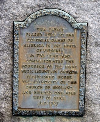
First Buck Mountain Church
Erected 1930 by The Colonial Dames of America in the State of Virginia.
Topics and series. This historical marker is listed in this topic list: Churches & Religion. In addition, it is included in the The Colonial Dames of America, National Society of series list. A significant historical year for this entry is 1930.
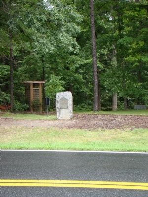
Location. 38° 9.258′ N, 78° 28.867′ W. Marker is in Earlysville, Virginia, in Albemarle County. Marker is on Earlysville Road (County Route 743) south of Advance Mills Road (County Route 663), on the right when traveling north. Touch for map. Marker is in this post office area: Earlysville VA 22936, United States of America. Touch for directions.
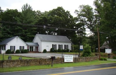
Other nearby markers. At least 8 other markers are within 5 miles of this marker, measured as the crow flies. Earlysville Union Church (approx. 0.2 miles away); Advance Mills (approx. 3 miles away); Monacan Indian Village (approx. 3.7 miles away); Rio Mills (approx. 3.7 miles away); Old Springs (approx. 4.3 miles away); Six Miles of Trails (approx. 4.4 miles away); Legacy of Hugh Carr / The Village of Hydraulic Mills (approx. 4.4 miles away); The Origins of Ivy Creek Natural Area (approx. 4.4 miles away). Touch for a list and map of all markers in Earlysville.
Credits. This page was last revised on February 2, 2023. It was originally submitted on August 16, 2009, by J. J. Prats of Powell, Ohio. This page has been viewed 1,629 times since then and 50 times this year. Photos: 1, 2, 3. submitted on August 16, 2009, by J. J. Prats of Powell, Ohio.


