Liberty in Guilford County, North Carolina — The American South (South Atlantic)
Low's Lutheran Church
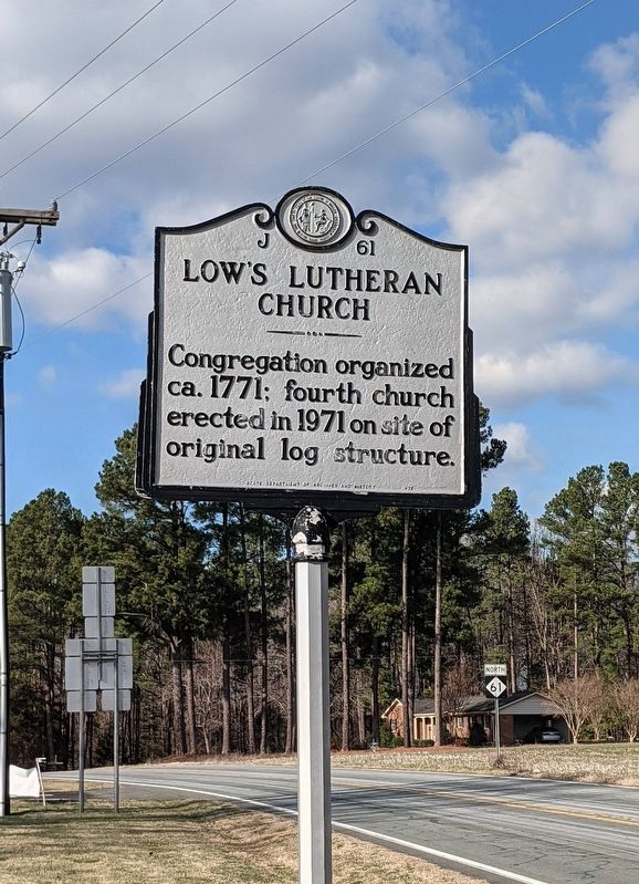
Photographed by Michael Buckner, January 14, 2022
1. Low's Lutheran Church Marker
Erected 1972 by State Department of Archives and History. (Marker Number J-61.)
Topics. This historical marker is listed in this topic list: Religion & Religious Structures. A significant historical year for this entry is 1771.
Location. 35° 59.237′ N, 79° 33.134′ W. Marker is in Liberty, North Carolina, in Guilford County. It is on North Carolina Route 61 0.2 miles north of Route 62, on the left when traveling north. Touch for map. Marker is at or near this postal address: 2136 NC-61, Liberty NC 27298, United States of America. Touch for directions.

Regionally, this marker is in North Carolina’s Piedmont and specifically in Piedmont Triad. It is also in the American South and specifically in the Upper South. Globally, it is in North America, the Western Hemisphere, the Western World, and the Anglosphere. Historically, it finds itself in what was once the territory of the Mississippian Culture, one of the original Thirteen Colonies, one of the Confederate States of America, and the Antebellum South.
this page online
Other nearby markers. At least 8 other markers are within 3 miles of this marker, measured as the crow flies: Old Brick Church (approx. 1.1 miles away); The Regulators' Field (approx. 2.2 miles away); Battle of Alamance (approx. 2.2 miles away); Governor Tryon and the Militia (approx. 2.2 miles away); First Battle of the Revolution (approx. 2.3 miles away); Battle of Alamance Monument (approx. 2.3 miles away); The Battle of the Alamance (approx. 2.3 miles away); a different marker also named Battle of Alamance (approx. 2.3 miles away).
Credits. This page was last revised on February 23, 2023. It was originally submitted on February 23, 2023, by Michael Buckner of Durham, North Carolina. This page has been viewed 293 times since then and 30 times this year. Photo 1. submitted on February 23, 2023, by Michael Buckner of Durham, North Carolina. • Bernard Fisher was the editor who published this page.
Editor’s want-list for this marker. Wide shot of marker and its surroundings. • Can you help?
