
Near Cherokee in Alfalfa County, Oklahoma — The American South (West South Central)
Stella Friends Academy
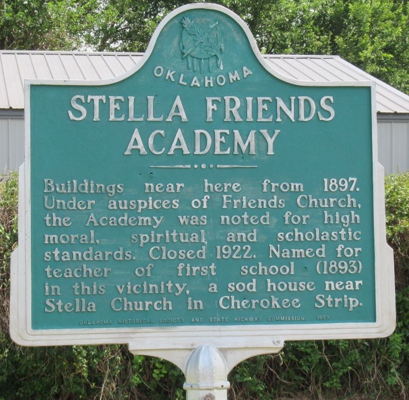
Photographed by Jason Armstrong, July 3, 2022
1. Stella Friends Academy Marker
Buildings near here from 1897. Under auspices of Friends Church, the Academy was noted for high moral, spiritual and scholastic standards. Closed 1922. Named for the teacher of first school (1893) in this vicinity, a sod house near Stella Church in Cherokee Strip.
Erected 1959 by Oklahoma Historical Society and State Highway Commission.
Topics. This historical marker is listed in these topic lists: Arts, Letters, Music • Education. A significant historical year for this entry is 1897.
Location. 36° 47.822′ N, 98° 19.475′ W. Marker is near Cherokee, Oklahoma, in Alfalfa County. It is on State Highway 11 west of County Road 630, on the left when traveling west. Touch for map. Marker is at or near this postal address: 26975 County Rd 630, Cherokee OK 73728, United States of America. Touch for directions.

Regionally, this marker is in the American South, specifically on the prairies, and on the Southern Plains. Globally, it is in North America, the Western Hemisphere, the Western World, and the Anglosphere. Historically, it finds itself in what was once the territory of the Mississippian Culture, the Louisiana
this page online
Other nearby markers. At least 3 other markers are within 13 miles of this marker, measured as the crow flies: George C. Sibley Expedition (approx. 4.4 miles away); Salt Plains National Wildlife Refuge (approx. 8.1 miles away); Memorial for the Veterans of the United States Armed Forces (approx. 12.2 miles away).
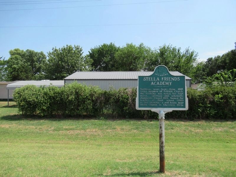
Photographed by Jason Armstrong, July 3, 2022
2. Stella Friends Academy Marker
Credits. This page was last revised on November 22, 2024. It was originally submitted on February 24, 2023, by Jason Armstrong of Talihina, Oklahoma. This page has been viewed 571 times since then and 36 times this year. Photos: 1, 2. submitted on February 24, 2023, by Jason Armstrong of Talihina, Oklahoma. • J. Makali Bruton was the editor who published this page.
