Hartselle in Morgan County, Alabama — The American South (East South Central)
Bethel Road Historical District
Inscription.
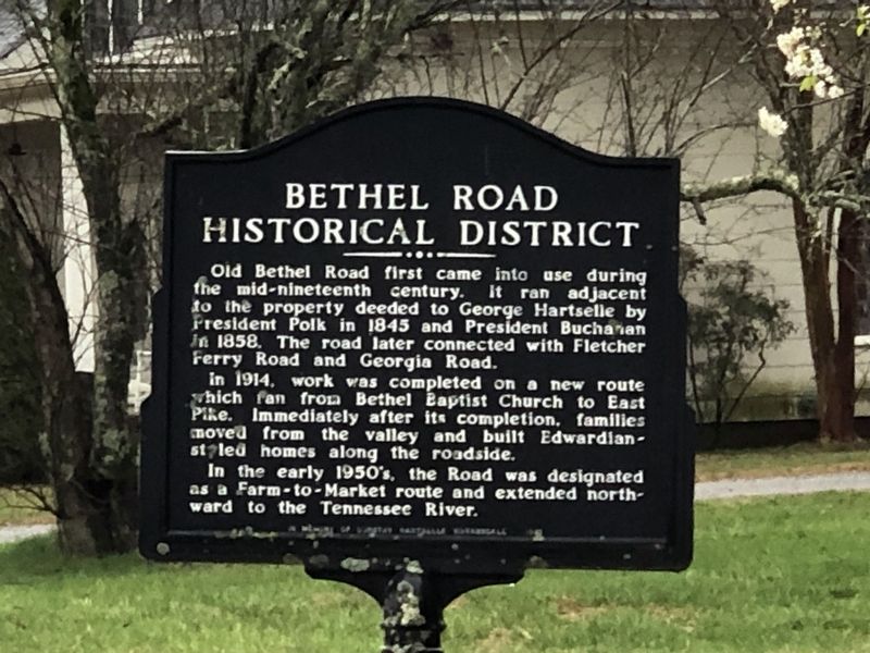
Old Bethel Road first came into use during the mid-nineteenth century. It ran adjacent to the property deeded to George Hartselle by President Polk in 1845 and President Buchanan in 1858. The road later connected with Fletcher Ferry Road and Georgia Road.
In 1914, work was completed on a new route which ran from Bethel Baptist Church to East Pike. Immediately after its completion, families moved from the valley and built Edwardian-styled homes along the roadside.
In the early 1950's, the road was designated as a Farm-to-Market route and extended northward to the Tennessee River.
Topics. This historical marker is listed in this topic list: Roads & Vehicles. A significant historical year for this entry is 1845.
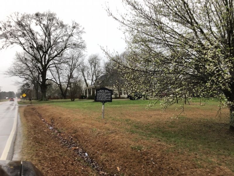
Location. 34° 27.625′ N, 86° 55.413′ W. Marker is in Hartselle, Alabama, in Morgan County. Marker is at the intersection of Bethel Road Northeast and Indian Hills Road Northeast, on the right when traveling south on Bethel Road Northeast. Touch for map. Marker is at or near this postal address: 1241 Bethel Rd NE, Hartselle AL 35640, United States of America. Touch for directions.
Other nearby markers. At least 8 other markers are within 5 miles of this marker, measured as the crow flies. City of Hartselle, Alabama / Hartselle Facts (approx. 1.3 miles away); The Great Hartselle Bank Robbery / Three Hours Required to Accomplish Heist (approx. 1.3 miles away); West View (approx. 2.6 miles away); Skirmish at Woodall's Bridge (approx. 3.6 miles away); M601A Tank (approx. 4.7 miles away); T-34 C Mentor Plane (approx. 4.7 miles away); The Huey Helicopter (approx. 4.7 miles away); United States Navy (approx. 4.7 miles away). Touch for a list and map of all markers in Hartselle.
Credits. This page was last revised on February 26, 2023. It was originally submitted on February 26, 2023, by Duane and Tracy Marsteller of Murfreesboro, Tennessee. This page has been viewed 155 times since then and 50 times this year. Photos: 1, 2. submitted on February 26, 2023, by Duane and Tracy Marsteller of Murfreesboro, Tennessee.

