Beverly in Toledo in Lucas County, Ohio — The American Midwest (Great Lakes)
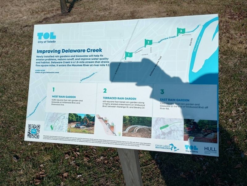
Improving Delaware Creek
1 West Rain Garden
8.280-square-foot rain garden and bloswale at Wildwood Blvd and Sherwood Ave.
2 Terraced Rain Garden
600-square-foot tiered rain garden along a highly eroded streambank on Wildwood Blvd between Marengo St. and Beverly Dr.
East Rain Garden
2340-square-faat rain garden and bloswale at the end of Wildwood Blvd. off River Rd.
Topics. This historical marker is listed in this topic list: Waterways & Vessels.
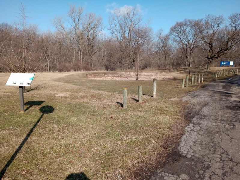
Location. 41° 36.288′ N, 83° 36.347′ W. Marker is in Toledo, Ohio, in Lucas County. It is in Beverly. Marker is on Sherwood Avenue, on the right when traveling west. Touch for map. Marker is at or near this postal address: 2530 Sherwood Ave, Toledo OH 43614, United States of America. Touch for directions.
Other nearby markers. At least 8 other markers are within 2 miles of this marker, measured as the crow flies. Chessie Circle Trail - Copland Blvd. (approx. 0.8 miles away); Medical College of Ohio (approx. 0.9 miles away); The Toledo State Hospital New Cemetery, 1922-1973 (approx. 0.9 miles away); The Toledo State Hospital Old Cemetery, 1888-1922 (approx. 1.3 miles away); Emerson (approx. 1˝ miles away); Chessie Circle Trail - River Rd. (approx. 1˝ miles away); Chimney Swifts (approx. 1.6 miles away); Toledo Beltway Railroad (approx. 1.6 miles away). Touch for a list and map of all markers in Toledo.
Credits. This page was last revised on February 28, 2023. It was originally submitted on February 27, 2023, by Craig Doda of Napoleon, Ohio. This page has been viewed 59 times since then and 14 times this year. Photos: 1, 2. submitted on February 27, 2023, by Craig Doda of Napoleon, Ohio. • Bill Pfingsten was the editor who published this page.

