Near Springfield in Clark County, Ohio — The American Midwest (Great Lakes)
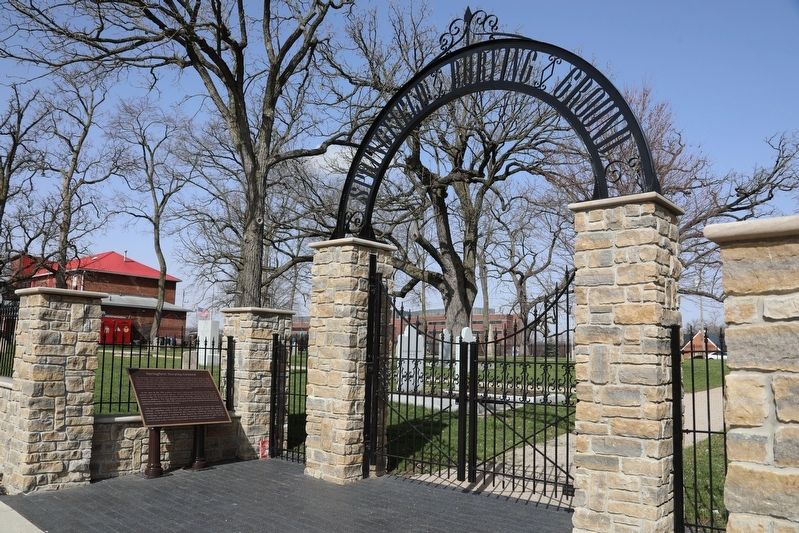
Springfield Burying Ground
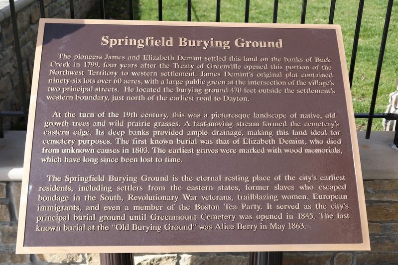
The pioneers James and Elizabeth Demint settled this land on the banks of Buck Creek in 1799, four years after the Treaty of Greenville opened this portion of the Northwest Territory to western settlement. James Demint's original plat contained ninety-six lots over 60 acres, with a large public green at the intersection of the village’s two principle streets. He located the burying ground 470 feet outside the settlement’s western boundary, just north of the earliest road to Dayton.
At the turn of the 19th century, this was a picturesque landscape of native, old-growth trees and wild prairie grasses. A fast-moving stream formed the cemetery’s eastern edge. Its deep banks provide ample drainage, making this land ideal for cemetery purposes. The first known burial was that of Elizabeth Demint, who died from unknown causes in 1803. The earliest graves were marked with wood memorials, which have long since been lost to time.
The Springfield Burying Ground is the eternal resting place of the city’s earliest residents, including settlers from the eastern states, former slaves who escaped bondage in the South, and even a member of the Boston Tea Party. It served as the city’s principle burial ground until Greenmount Cemetery was opened in 1845. The last known burial at the “Old Burying Ground” was Alice Berry in May 1863.
Erected 2022.
Topics. This historical marker is listed in these topic lists: Cemeteries & Burial Sites • Patriots & Patriotism. A significant historical year for this entry is 1803.
Location. 39° 55.57′ N, 83° 48.784′ W. Marker is near Springfield, Ohio, in Clark County. Marker is on West Columbia Street (U.S. 40) 0.1 miles east of North Wittenberg Avenue, on the right when traveling east. Touch for map. Marker is at or near this postal address: 120 W Columbia St, Springfield OH 45502, United States of America. Touch for directions.
Other nearby markers. At least 8 other markers are within walking distance of this marker. James Demint (within shouting distance of this marker); Madonna of the Trail (about 700 feet away, measured in a direct line); a different marker also named Madonna of the Trail (about 700 feet away); 75th Anniversary of the Madonna of the Trail Statue (about 700 feet away); Clark County Memorial (approx. 0.2 miles away); Site of Springfield's First Church (approx. 0.2 miles away); Floral Center Of The World (approx. 0.2 miles away); George Rogers Clark (approx. 0.2 miles away). Touch for a list and map of all markers in Springfield.
Credits. This page was last revised on February 28, 2023. It was originally submitted on February 24, 2023, by J. Wesley Baker of Springfield, Ohio. This page has been viewed 193 times since then and 50 times this year. Last updated on February 27, 2023, by J. Wesley Baker of Springfield, Ohio. Photos: 1, 2. submitted on February 24, 2023, by J. Wesley Baker of Springfield, Ohio. • Bill Pfingsten was the editor who published this page.

