Fort Trumbull in New London in New London County, Connecticut — The American Northeast (New England)
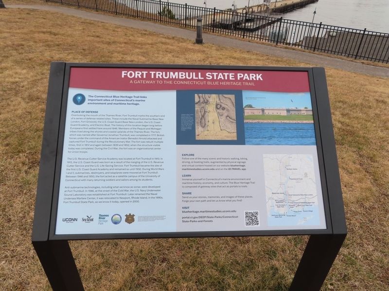
Fort Trumbull State Park
Place of Defense
Overlooking the mouth of the Thames River, Fort Trumbull marks the southern end of a series of defense-related sites. These include the Naval Submarine Base New London, Fort Griswold, the U.S. Coast Guard Base New London, the U.S. Coast Guard Academy, and Electric Boat. The history of this location began long before Europeans first settled here around 1646. Members of the Pequot and Mohegan tribes lived along the shores and coastal uplands of the Thames River. The fort, which was named after Governor Jonathan Trumbull, was completed in 1777. British forces under the command of the American traitor Benedict Arnold attacked and captured Fort Trumbull during the Revolutionary War. The fort was rebuilt multiple times, first in 1812 and again between 1839 and 1852, when the structure visible today was completed. During the Civil War, the fort was an organizational center for Union troops.
The U.S. Revenue Cutter Service Academy was located at Fort Trumbull in 1910. In 1915, the U.S. Coast Guard was born as a result of the merging of the U.S. Revenue Cutter Service and the U.S. Life-Saving Service. Fort Trumbull became the site of the first U.S. Coast Guard Academy and remained so until 1932. During World Wars I and II, submarines, destroyers, and seaplanes were moored at Fort Trumbull. Between 1946 and 1950, the fort acted as a satellite campus of the University of Connecticut with many returning soldiers and sailors among its students.
Anti-submarine technologies, including what we know as sonar, were developed at Fort Trumbull. In 1946, at the onset of the Cold War, the U.S. Navy Underwater Sound Laboratory was established at Fort Trumbull. Later renamed the Naval Undersea Warfare Center, it was relocated to Newport, Rhode Island, in the 1990s. Fort Trumbull State Park, as we know it today, opened in 2000.
Explore Follow one of the many scenic and historic walking, biking, driving, or boating trails, augmented by physical signage and virtual content hosted on our website blueheritage.maritimestudies.uconn.edu and on the IZI.TRAVEL app.
Learn Immerse yourself in Connecticut's marine environment and maritime history, economy, and culture. The Blue Heritage Trails composed of gateway sites that act as portals to trails.
Share Send us your stories, memories, and images of these places. Forge your own path and let us know what you find!
Visit blueheritage.maritimestudies.uconn.edu
portal.ct.gov/DEEP/State-Parks/Connecticut-State-Parks-and-Forests
Erected by Blue Heritage Trail Project (University of Connecticut).
Topics. This historical marker is listed in these topic lists: Forts and Castles • Parks & Recreational Areas. A significant historical year for this entry is 1646.
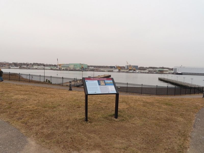
Location. 41° 20.672′ N, 72° 5.572′ W. Marker is in New London, Connecticut, in New London County. It is in Fort Trumbull. Marker can be reached from East Street, on the left when traveling south. Located in Fort Trumbull State Park. Touch for map. Marker is in this post office area: New London CT 06320, United States of America. Touch for directions.
Other nearby markers. At least 8 other markers are within walking distance of this marker. Blockhouse (within shouting distance of this marker); North Battery (within shouting distance of this marker); Maury Hall (within shouting distance of this marker); Bottom Reflected Active Sonar System (BRASS) (within shouting distance of this marker); Fort Trumbull (about 300 feet away, measured in a direct line); Cold War (about 300 feet away); Scientific Research (about 300 feet away); Merchant Marine (about 300 feet away). Touch for a list and map of all markers in New London.
Also see . . .
1. Blue Heritage Trail Project (University of Connecticut). (Submitted on February 27, 2023, by Michael Herrick of Southbury, Connecticut.)
2. Fort Trumbull State Park - Connecticut Department of Energy & Environmental Protection. (Submitted on February 27, 2023, by Michael Herrick of Southbury, Connecticut.)
Credits. This page was last revised on February 27, 2023. It was originally submitted on February 27, 2023, by Michael Herrick of Southbury, Connecticut. This page has been viewed 62 times since then and 10 times this year. Photos: 1, 2. submitted on February 27, 2023, by Michael Herrick of Southbury, Connecticut.

