Near Northport in Tuscaloosa County, Alabama — The American South (East South Central)
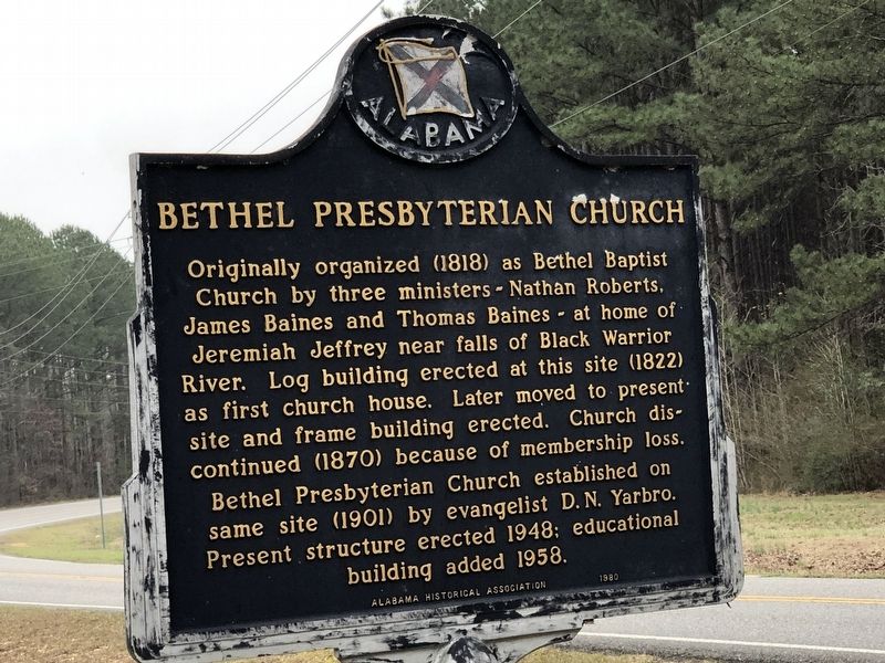
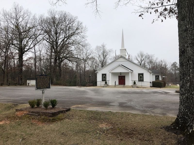
Bethel Presbyterian Church
Erected 1980 by Alabama Historical Association.
Topics and series. This historical marker is listed in this topic list: Churches & Religion. In addition, it is included in the Alabama Historical Association series list. A significant historical year for this entry is 1818.
Location. 33° 17.048′ N, 87° 31.633′ W. Marker is near Northport, Alabama, in Tuscaloosa County. Marker is on Watermelon Road, 0.4 miles north of Sharpes Lake Road, on the left when traveling north. Touch for map. Marker is at or near this postal address: 7100 Watermelon Rd, Tuscaloosa AL 35406, United States of America. Touch for directions.
Other nearby markers. At least 8 other markers are within 5 miles of this marker, measured as the crow flies. Old Center Church (approx. 2.1 miles away); First Papermaking In Alabama (approx. 4.3 miles away); Old Bryce Cemetery (approx. 4.4 miles away); Bryce Hospital Cemetery #1A (approx. 4˝ miles away); The Warrior-Tombigbee Waterway (approx. 4˝ miles away); Bryce Hospital Cemetery #2 (approx. 4˝ miles away); Bryce Hospital Cemetery No.3 (approx. 4.6 miles away); Wilson-Clements House (approx. 4.8 miles away).
Credits. This page was last revised on February 27, 2023. It was originally submitted on February 27, 2023, by Duane and Tracy Marsteller of Murfreesboro, Tennessee. This page has been viewed 102 times since then and 34 times this year. Photos: 1, 2. submitted on February 27, 2023, by Duane and Tracy Marsteller of Murfreesboro, Tennessee.

