Augsburg, Bavaria, Germany — Central Europe
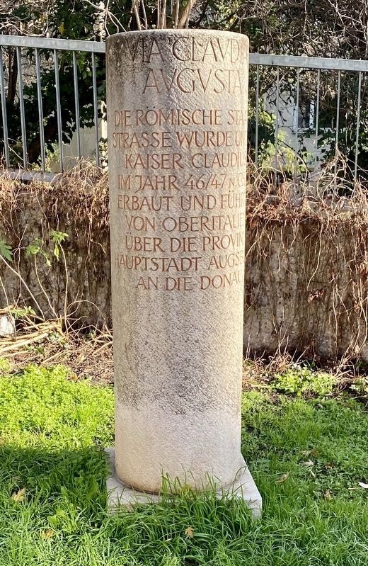
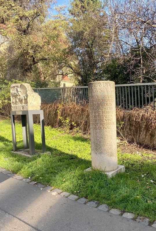
Via Claudia Augusta
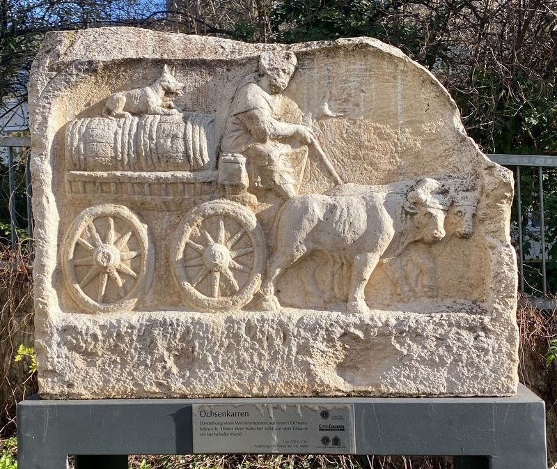
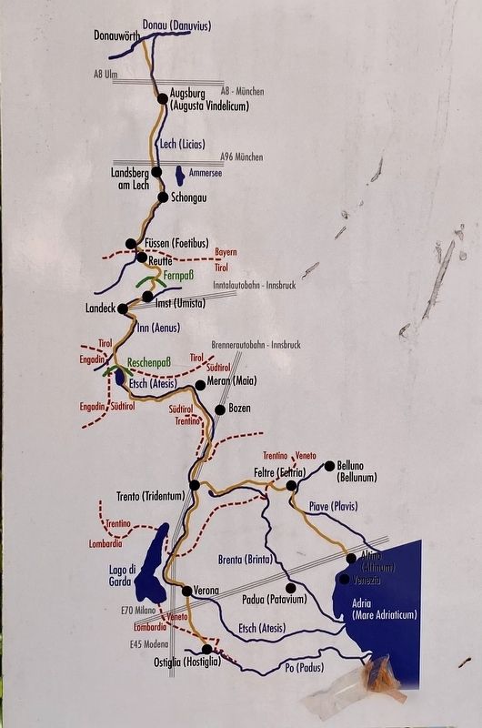
The Roman Imperial Road was built in 46/47 AD under the Emperor Claudius and led from Upper Italy via the provincial capital of Augsburg to the Danube River.
Topics. This historical marker is listed in this topic list: Roads & Vehicles.
Location. 48° 21.874′ N, 10° 54.059′ E. Marker is in Augsburg, Bayern (Bavaria). Marker is on Predigerberg, on the right when traveling north. Touch for map. Marker is in this post office area: Augsburg BY 86150, Germany. Touch for directions.
Other nearby markers. At least 8 other markers are within walking distance of this marker. Das Römische Augsburg / The Roman Augsburg / Il Augsburg Romano (a few steps from this marker); Augusta Vindelicum (a few steps from this marker); Bothmersches Palais (approx. 0.4 kilometers away); Philippine Welser (approx. half a kilometer away); Johann Gottlieb Klaucke (approx. half a kilometer away); Die Stadtmetzg / The Municipal Butcher (approx. 0.6 kilometers away); Berthold Brecht House (approx. 0.6 kilometers away); Pemer-Haus am Kappeneck 17, Augsburg (approx. 0.6 kilometers away). Touch for a list and map of all markers in Augsburg.
Also see . . . Via Claudia Augusta (Wikipedia).
Overview: The Via Claudia Augusta is an ancient Roman road, which linked the valley of the Po River with Rhaetia (encompassing parts of modern Eastern Switzerland, Northern Italy, Western Austria, Southern Germany and all of Liechtenstein) across the Alps.(Submitted on March 3, 2023.)
Credits. This page was last revised on March 3, 2023. It was originally submitted on March 3, 2023, by Andrew Ruppenstein of Lamorinda, California. This page has been viewed 53 times since then and 11 times this year. Photos: 1, 2, 3, 4, 5. submitted on March 3, 2023, by Andrew Ruppenstein of Lamorinda, California.


