Wahehe Township near Marty in Charles Mix County, South Dakota — The American Midwest (Upper Plains)
Treaty of 1858
Yankton Sioux Tribe
— Missouri National Recreational River —
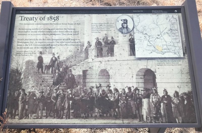
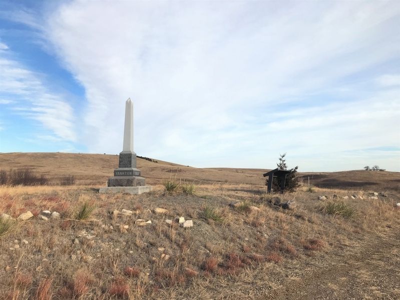
This monument commemorates the Yankton Sioux Treaty of 1858.
As increasing numbers of settlers came upriver, the Yankton Sioux had to decide whether to join other Sioux tribes in armed resistance or to co-exist with the immigrants. They chose peace.
Head Chief Struck by the Ree led a delegation of tribal leaders to Washington, D.C., to negotiate a treaty. The tribe ceded most of its lands to the U.S. Government and agreed to move to a reservation on the north side of the Missouri River.
Captions:
Delegation group of 1857–58 (below) in front of the White House, Washington, D.C.
The Sioux delegation leader, Struck by the Ree (right), was a newborn baby at the 1804 Council at Calumet Bluff, and Meriwether Lewis supposedly wrapped him in an American flag.
This map shows the 11,155,890 acres ceded by the Yankton Sioux and highlights the remaining reservation.
Erected by National Park Service, U.S. Department of the Interior.
Topics. This historical marker is listed in these topic lists: Native Americans • Settlements & Settlers. A significant historical year for this entry is 1858.
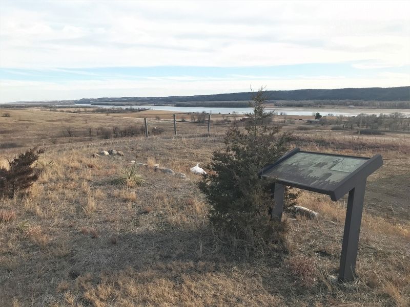
Location. 42° 55.512′ N, 98° 22.9′ W. Marker is near Marty, South Dakota, in Charles Mix County . It is in Wahehe Township. Marker is on 390th Avenue, ¼ mile north of County Road 2, on the right when traveling north. Located north of the community of Greenwood. Touch for map. Marker is in this post office area: Wagner SD 57380, United States of America. Touch for directions.
Other nearby markers. At least 8 other markers are within 13 miles of this marker, measured as the crow flies. Yankton Sioux Treaty of 1858 Monument (here, next to this marker); Martin Marty / Rev. Sylvester Eisenman (approx. 5.2 miles away); Lewis and Clark Campsite (approx. 7.7 miles away in Nebraska); Armed Forces Memorial (approx. 11.8 miles away); Company A 153rd Engineer Battalion Memorial (approx. 11.9 miles away); Pickstown Centennial Garden Memorial (approx. 12.4 miles away); A Gathering Place for Eagles (approx. 12.4 miles away); Missouri River (approx. 12.4 miles away). Touch for a list and map of all markers in Marty.
Related marker. Click here for another marker that is related to this marker.
Also see . . .
1. Yankton Sioux Treaty Monument - Missouri National Recreational River (U.S. National Park Service). (Submitted on March 4, 2023.)
2. Treaty with the Yankton Sioux, 1858 - Tribal Treaties Database. (Submitted on March 4, 2023.)
Credits. This page was last revised on March 4, 2023. It was originally submitted on March 3, 2023. This page has been viewed 180 times since then and 30 times this year. Photos: 1. submitted on March 3, 2023. 2, 3. submitted on March 4, 2023.


