Ciudad Colonial in Santo Domingo, Distrito Nacional, Dominican Republic — Caribbean Region of the Americas (Hispaniola, Greater Antilles, West Indies)
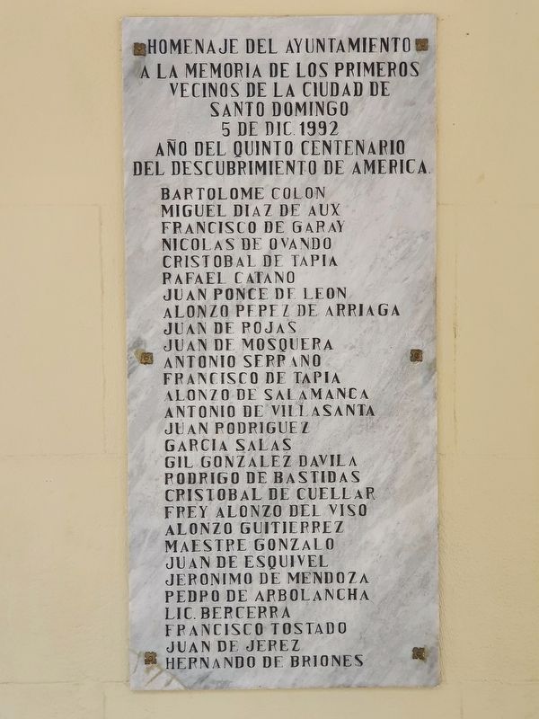
First Neighbors of Santo Domingo
5 de dic. 1992
Año del quinto centenario del descubrimiento de America
Bartolome Colon ∙ Miguel Diaz de Aux ∙ Francisco de Garay ∙ Nicolas de Ovando ∙ Cristobal de Tapia ∙ Rafael Catano ∙ Juan Ponce de Leon ∙ Alonzo Pepez de Arriaga ∙ Juan de Rojas ∙ Juan de Mosquera ∙ Antonio Serpano ∙ Francisco de Tapia ∙ Alonzo de Salamanca ∙ Antonio de Villasanta ∙ Juan Rodriguez ∙ Garcia Salas ∙ Gil Gonzalez Davila ∙ Rodrigo de Bastidas ∙ Cristobal de Cuellar ∙ Frey Alonzo del Viso ∙ Alonzo Guitierrez ∙ Maestre Gonzalo ∙ Juan de Esquivel ∙ Jeronimo de Mendoza ∙ Pedpo de Arbolancha ∙ Lic. Bercerra ∙ Francisco Tostado ∙ Juan de Jerez ∙ Hernando de Briones
Tribute of the City Council to the memory of the first neighbors of the City of Santo Domingo
Dec. 5, 1992
Year of the fifth centenary of the discovery of America
Names not repeated
Erected 1992.
Topics. This historical marker is listed in these topic lists: Colonial Era • Settlements & Settlers. A significant historical date for this entry is December 5, 1992.
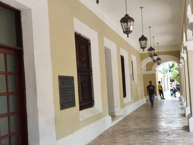
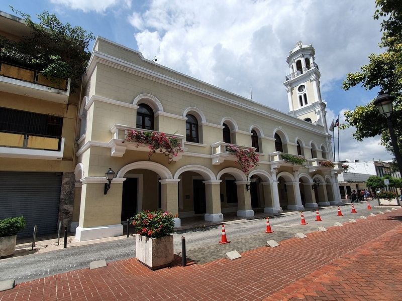
Location. 18° 28.406′ N, 69° 53.075′ W. Marker is in Ciudad Colonial, Distrito Nacional, in Santo Domingo. Marker is on Calle Isabel la Católica south of Calle El Conde, on the right when traveling south. Touch for map. Marker is at or near this postal address: C Isabel la Católica 70, Ciudad Colonial, Distrito Nacional 10210, Dominican Republic. Touch for directions.
Other nearby markers. At least 8 other markers are within walking distance of this marker. First City Hall in the Americas (a few steps from this marker); First Municipal Council in the Americas (a few steps from this marker); Pope John Paul II's 1979 Visit to Santo Domingo (within shouting distance of this marker); Manuel Aurelio Tavarez Justo (within shouting distance of this marker); Cathedral of Santo Domingo, First of the Americas (about 90 meters away, measured in a direct line); Borgellá's Palace (about 120 meters away); The Plaza of the Priests (about 120 meters away); Club Nosotras (about 120 meters away). Touch for a list and map of all markers in Ciudad Colonial.
Credits. This page was last revised on March 4, 2023. It was originally submitted on March 4, 2023, by J. Makali Bruton of Accra, Ghana. This page has been viewed 48 times since then and 7 times this year. Photos: 1, 2, 3. submitted on March 4, 2023, by J. Makali Bruton of Accra, Ghana.


