Simcoe in Norfolk County, Ontario — Central Canada (North America)
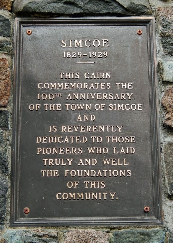
Simcoe
1829-1929
commemorates the
100th Anniversary
of the Town of Simcoe
and
is reverently
dedicated to those
pioneers who laid
truly and well
the foundations
of this
community.
Topics. This historical marker is listed in these topic lists: Parks & Recreational Areas • Settlements & Settlers. A significant historical year for this entry is 1829.
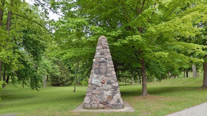
Location. 42° 50.378′ N, 80° 18.265′ W. Marker is in Simcoe, Ontario, in Norfolk County. Marker is on Norfolk Street North (Highway 24) just north of Lynn Park Drive, on the right when traveling north. Marker and cairn are located near the north end of Lynnwood Park. Touch for map. Marker is at or near this postal address: 91 Norfolk Street North, Simcoe ON N3Y 1V7, Canada. Touch for directions.
Other nearby markers. At least 8 other markers are within 11 kilometers of this marker, measured as the crow flies. Lynnwood Park (within shouting distance of this marker); Founding of Simcoe (within shouting distance of this marker); Sergeant Frederick Hobson, V.C. (approx. 0.4 kilometers away); Norfolk County Court-House and Gaol (approx. 0.4 kilometers away); M. W. Bro. William Mercer Wilson / Très Vénérable Frère William Mercer Wilson (approx. 4.8 kilometers away); Campbell's Raid 1814 (approx. 8.6 kilometers away); Lieut.-Col. Samuel Ryerse (approx. 10.1 kilometers away); War Memorial (approx. 10.2 kilometers away). Touch for a list and map of all markers in Simcoe.
Also see . . . Simcoe, Ontario.
Lieutenant-Governor Simcoe gave land to Aaron Culver in 1795 on the agreement that he would build mills; after they were in operation, a hamlet formed by 1812, although it was burned down by American troops in 1814. Between 1819 and 1823 Culver laid out a village; streets were surveyed in 1835 to 1836.(Submitted on March 6, 2023, by Cosmos Mariner of Cape Canaveral, Florida.)
Credits. This page was last revised on March 6, 2023. It was originally submitted on March 5, 2023, by Cosmos Mariner of Cape Canaveral, Florida. This page has been viewed 58 times since then and 2 times this year. Photos: 1, 2. submitted on March 6, 2023, by Cosmos Mariner of Cape Canaveral, Florida.

