Fredericksburg, Virginia — The American South (Mid-Atlantic)
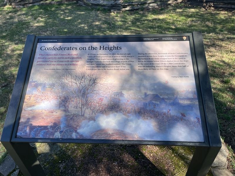
Confederates on the Heights
The Battle of Fredericksburg
— Fredericksburg and Spotsylvania National Military Park —
What chance had [Union] flesh and blood to carry by storm such a position, garrisoned too as it was with veteran soldiers? Not one chance in a million.
Private Alexander Hunter, 17th Virginia Infantry
At 11 a.m. on December 13, 1862, the first of eight Union divisions poured out of town to attack Marye's Heights. "Their bright bayonets glistening in the sunlight made the line look like a huge serpent of blue and steel," wrote one Southern soldier. The Union waves shuddered and stopped in front of the Confederate line in the Sunken Road, below you.
During the afternoon, thousands of fresh Confederates swarmed across these heights to join the Georgians in the Sunken Road. Some stopped here in the open to fire at the enemy below. Others dashed down the slope to the cover of the road. Of the 1,000 Confederates who fell defending Marye's Heights, more than half of them likely fell here on this ridge.
Erected by National Park Service, U.S. Department of the Interior.
Topics. This historical marker is listed in this topic list: War, US Civil. A significant historical date for this entry is December 13, 1862.
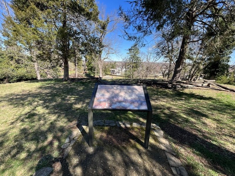
Location. 38° 17.707′ N, 77° 28.132′ W. Marker is in Fredericksburg, Virginia. Marker can be reached from Sunken Road south of Mercer Street, on the right when traveling south. Touch for map. Marker is at or near this postal address: 514-592 Sunken Rd, Fredericksburg VA 22401, United States of America. Touch for directions.
Other nearby markers. At least 8 other markers are within walking distance of this marker. The Confederate Line (within shouting distance of this marker); The Union Attacks Begin (within shouting distance of this marker); Thomas R. R. Cobb (within shouting distance of this marker); Cobb (within shouting distance of this marker); Mrs. Martha Stevens (within shouting distance of this marker); Confederate Artillery (within shouting distance of this marker); The Stephens House (within shouting distance of this marker); Field of Battle (within shouting distance of this marker). Touch for a list and map of all markers in Fredericksburg.
Related marker. Click here for another marker that is related to this marker. This marker has replaced the linked marker.
Credits. This page was last revised on March 5, 2023. It was originally submitted on March 5, 2023, by Devry Becker Jones of Washington, District of Columbia. This page has been viewed 67 times since then and 12 times this year. Photos: 1, 2. submitted on March 5, 2023, by Devry Becker Jones of Washington, District of Columbia.

