Clay Township in Hopeland in Lancaster County, Pennsylvania — The American Northeast (Mid-Atlantic)
Clay Township War Memorial
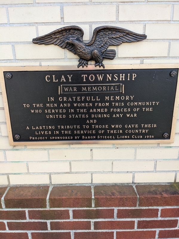
Photographed by William Pope, March 5, 2023
1. Clay Township War Memorial Marker
and
a lasting tribute to those who gave their lives in the service of their country
Project sponsored by Baron Stiegel Lions Club 1956
Erected 1956 by Baron Stiegel Lions Club.
Topics. This memorial is listed in this topic list: Military.
Location. 40° 14.013′ N, 76° 15.65′ W. Memorial is in Hopeland, Pennsylvania, in Lancaster County. It is in Clay Township. It is on Hopeland Road just west of Clay Road, on the right when traveling east. This memorial is located at the front of the Hopeland Park. Touch for map. Memorial is at or near this postal address: 640 Hopeland Road, Lititz PA 17543, United States of America. Touch for directions.

Regionally, this memorial is in South-Central Pennsylvania, specifically in Pennsylvania Dutch Country, and in the Susquehanna Valley. It is also in the American Northeast and in the Mid-Atlantic. Globally, it is in North America, the Western Hemisphere, the Western World, and the Anglosphere.
this page online
Other nearby markers. At least 8 other markers are within 4 miles of this marker, measured as the crow flies: Clay (approx. 1.3 miles away); Brickerville (approx. 1.4 miles away); In Memory of the Pioneer Eberly Family (approx. 1½ miles away); Elizabeth Township War Memorial (approx. 2.1 miles away); a different marker also named Brickerville (approx. 2.4 miles away); The Middle Creek Story (approx. 2.7 miles away); The Nanticoke Indian Tribe (approx. 3.1 miles away); Bald Eagles and Middle Creek (approx. 3.6 miles away).
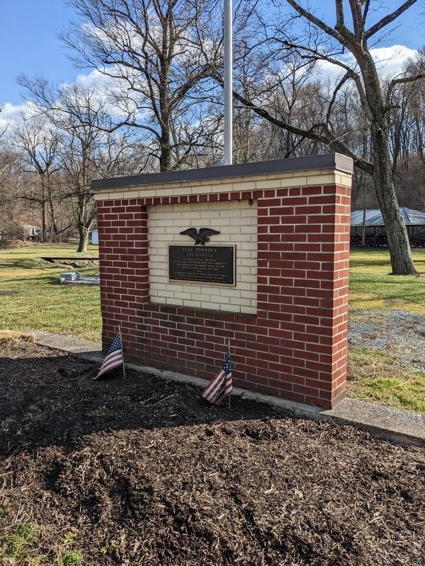
Photographed by William Pope, March 5, 2023
2. Clay Township War Memorial
Credits. This page was last revised on March 6, 2023. It was originally submitted on March 5, 2023, by William Pope of Marietta, Pennsylvania. This page has been viewed 184 times since then and 18 times this year. Photos: 1, 2. submitted on March 5, 2023, by William Pope of Marietta, Pennsylvania. • Andrew Ruppenstein was the editor who published this page.
