Enns in Linz-Land, Upper Austria, Austria — Central Europe (Eastern Alps)
Der Georgenberg
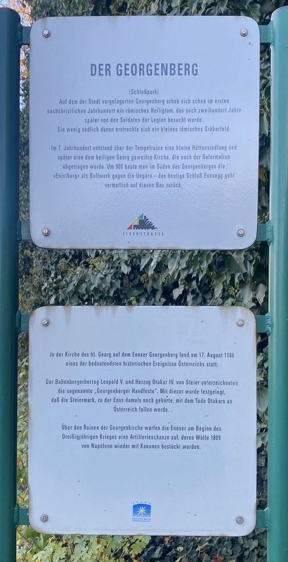
Der Georgenberg
(Schloßpark)
Auf dem der Stadt vorgelagerten Georgenberg erhob sich schon im ersten nachchristlichen Jahrhundert ein römisches Heiligtum, das noch zweihundert Jahre später von den Soldaten der Legion besucht wurde. Ein wenig südlich davon erstreckte sich ein kleines römisches Gräberfeld.
In 7. Jahrhundert entstand über der Tempelruine eine kleine Hüttensiedlung und später eine dem heiligen Georg geweihte Kirche, die nach der Reformation abgetragen wurde. Um 900 baute man im Süden des Georgenberges die »Enisiburge« als Bollwerk gegen die Ungarn - das heutige Schloß Ennsegg geht vermutlich auf diesen Bau zurück.
In der Kirche des hl. Georg auf dem Ennser Georgenberg fand am 17. August 1186 eines der bedeutendsten historischen Ereignisse Österreichs statt:
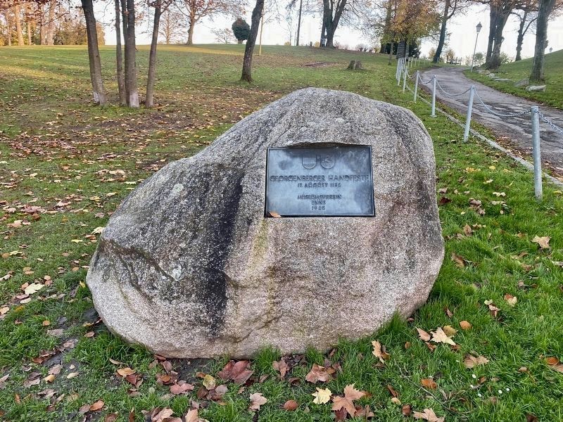
Der Babenbergerherzog Leopold V. und Herzog Otakar IV. von Steier unterzeichneten die sogenannte “Georgenberger Handfeste”. Mit dieser wurde festgelegt, daß die Steiermark, zu der Enns damals noch gehörte, mit dem Tode Otakars an Österreich fallen werde.
Über den Ruinen der Georgenkirche warfen die Ennser am Beginn des Dreißigjährigen Krieges eine Artillerieschanze auf, deren Wälle 1809 von Napoleon wieder mit Kanonen bestückt wurden.
The Georgenberg
(Castle Park)
As early as the first century AD there was a Roman sanctuary on the Georgenberg in front of the city, which was still visited by soldiers of the legion two hundred years later. A little to the south of this was a small Roman burial ground.
In the 7th century a small settlement of huts was built over the temple ruins and later a church dedicated to St. George, which was demolished after the Reformation. Around 900 the "Enisiburge" was built in the south of the Georgenberg as a bulwark against the Hungarians - today's Ennsegg Castle probably goes back to this building.
In the Church of St. George on the Ennser Georgenberg, one of the most important historical events in Austria took place on August 17, 1186:
The Babenberg Duke Leopold V and Duke Otakar IV of Styria signed the so-called “Georgenberg Pact”. This stipulated that Styria, to which Enns still belonged at the time, would fall to Austria with the death of Otakar.
At the beginning of the Thirty Years' War, the people of Enns raised an artillery rampart over the ruins of the Georgenkirche, the walls of which were again equipped with
cannons by Napoleon in 1809.
Erected by Eisenstrasse, Phyrn Eisenwurzen.
Topics. This historical marker is listed in these topic lists: Churches & Religion • Forts and Castles • Parks & Recreational Areas • Settlements & Settlers. A significant historical date for this entry is August 17, 1186.
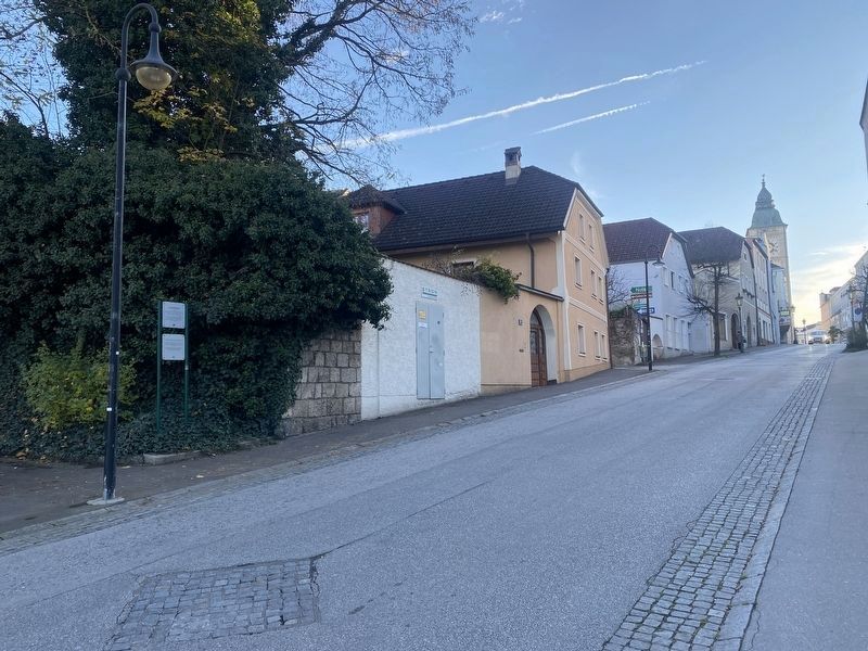
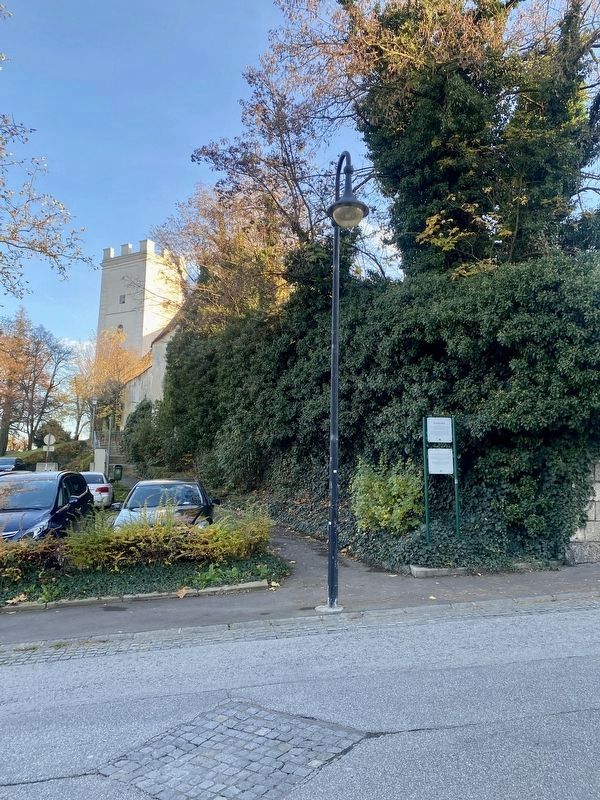
Location. 48° 12.959′ N, 14° 28.833′ E. Marker is in Enns, Oberösterreich (Upper Austria), in Linz-Land. Marker is on Mauthausner Straße, on the right when traveling north. Touch for map. Marker is in this post office area: Enns, Oberösterreich 4470, Austria. Touch for directions.
Other nearby markers. At least 7 other markers are within walking distance of this marker. Salzamt / Salt Office (about 210 meters away, measured in a direct line); Das Stadtrecht von Enns / Enns City Charter (about 240 meters away); Der Stadtturm von Enns / The Enns City Tower (about 240 meters away); Das Gasthaus „Zur Sonne“ / The Inn „At the Sun“ (approx. 0.3 kilometers away); Mittelalterliche Bürgerhäuser / Medieval Townhouses (approx. 0.3 kilometers away); Johann Friedrich Böttcher - Goldmacher / Alchemist (approx. 0.4 kilometers away); Anton Bruckner (approx. 0.4 kilometers away).
Also see . . .
1. Georgenberg Pact (Wikipedia).
Excerpt: The Georgenberg Pact (also called the Georgenberg Compact, German: Georgenberger(Submitted on March 7, 2023.)Handfeste) was a treaty signed between Duke Leopold V of Austria and Duke Ottokar IV of Styria on 17 August 1186 at Enns Castle on the Georgenberg mountain.
The treaty consisted of two parts. The first part was an agreement under which the childless and deathly ill Ottokar IV, the first and last Styrian duke from the Otakar dynasty who had contracted leprosy while on the Third Crusade, was to pass his duchy to the Austrian duke Leopold V and to his son Frederick from the Franconian Babenberg dynasty, under the stipulation that Austria and Styria would henceforth remain united forever. The second part consists of a delineation of rights of the Styrian estates and citizens. It has been incorrectly called by English-speaking historians a "Styrian Magna Carta", for it sought to maintain the rights of the Styrian ministeriales in anticipation of the Babenberg acquisition... The Georgenberg Pact thus was the first step towards the creation of a complex of "hereditary lands" of the Habsburg monarchy…The Pact formed an integral part of the Austrian constitution until the Revolutions of 1848. The original document is kept at the Styrian State Archive in Graz.
2. Georgenberg (Enns) (Wikipedia, in German).
The article contains much of the same information as the marker, however the additional information on its transformation into a park is presented here (in translation): …The mountain area was designed by Vinzenz Fürst Auersperg in 1841 as a landscape garden in its present form, it was already a public recreational area back then. The hill of the castle ruins was transformed into a romantic vantage point. This vantage point on the mountain edge still exists today. The palace park now belongs to the city of Enns, which bought it in 2000.(Submitted on March 7, 2023.)
Credits. This page was last revised on March 7, 2023. It was originally submitted on March 7, 2023, by Andrew Ruppenstein of Lamorinda, California. This page has been viewed 50 times since then and 8 times this year. Photos: 1, 2, 3, 4. submitted on March 7, 2023, by Andrew Ruppenstein of Lamorinda, California.


