Cliffside in Scarborough in Toronto, Ontario — Central Canada (North America)
Cliffside Golf Course
1931-1950
— Mural Routes Heritage Trail —
Inscription.
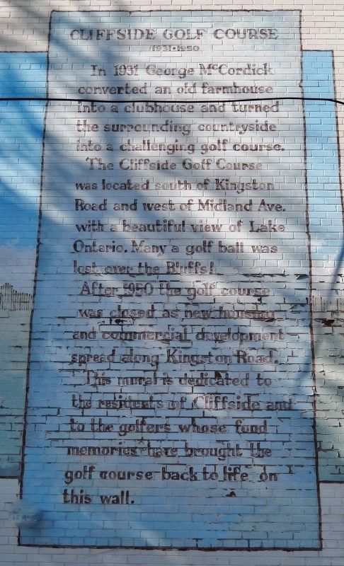
In 1931 George McCordick converted an old farmhouse into a clubhouse and turned the surrounding countryside into a challenging golf course.
The Cliffside Golf Course was located south of Kingston Road and west of Midland Ave. with a beautiful view of Lake Ontario. Many a golf ball was lost over the Bluffs!
After 1950 the golf course was closed as new housing and commercial development spread along Kingston Road.
This mural is dedicated to the residents of Cliffside and to the golfers whose fond memories have brought the golf course back to life on this wall.
Erected 1991 by Scarborough Arts Council. (Marker Number 2.)
Topics. This historical marker is listed in these topic lists: Arts, Letters, Music • Parks & Recreational Areas • Sports. A significant historical year for this entry is 1931.
Location. 43° 42.508′ N, 79° 14.915′ W. Marker is in Scarborough, Ontario, in Toronto. It is in Cliffside. Marker is on Sandown Avenue just east of Kingston Road, on the left when traveling east. Mural covers the entire south facade of the building at this address. Marker is on the right/east side of the mural. Touch for map. Marker is at or near this postal address: 2435 Kingston Road, Scarborough ON M1N 1V4, Canada. Touch for directions.
Other nearby markers. At least 8 other markers are within 13 kilometers of this marker, measured as the crow flies. The Bluffs as Viewed by Elizabeth Simcoe c.1793 (about 180 meters away, measured in a direct line); Scarborough Bluffs (approx. one kilometer away); J. Tuzo Wilson (approx. 7.3 kilometers away); The Ashbridge Estate / Le Domaine des Ashbridge (approx. 7.7 kilometers away); Toronto's first professional stadium: Sunlight Park 1886 - 1896 (approx. 10 kilometers away); York Post Office / Le Bureau de Poste de York (approx. 11.6 kilometers away); George Brown College (approx. 11.7 kilometers away); De La Salle Institute Building (approx. 11.7 kilometers away).
Also see . . . Cliffside.
It is widely believed that the Cliffside neighbourhood gained its namesake from the Cliffside Golf Course that covered much of the now-residential area south of Kingston Road. Cliffside was named for the Scarborough Bluffs, which bordered the south side of the Golf Course.(Submitted on March 10, 2023, by Cosmos Mariner of Cape Canaveral, Florida.)
Photographed By Cosmos Mariner, May 28, 2022
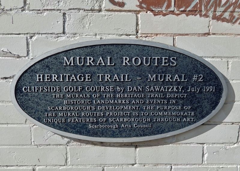
2. Mural Routes Heritage Trail Marker
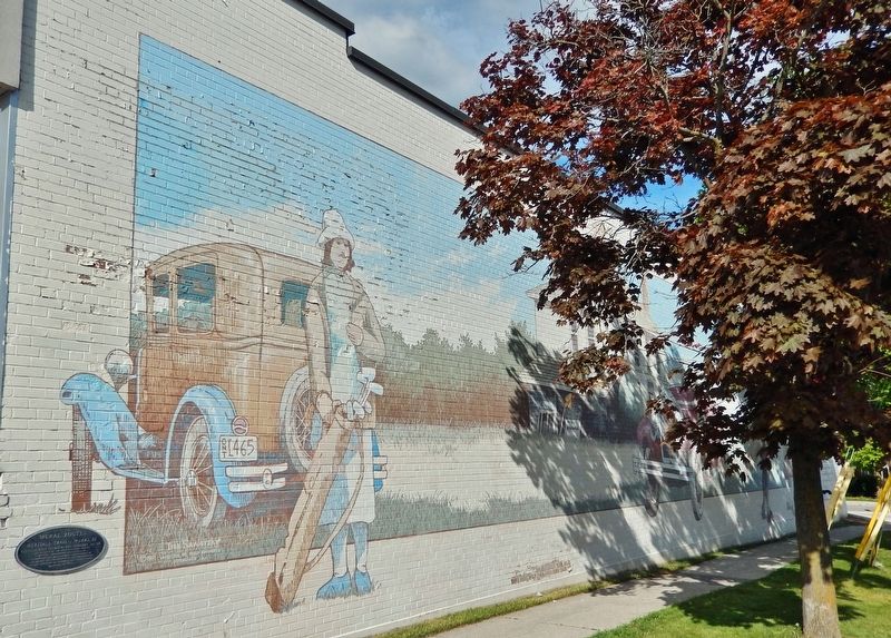
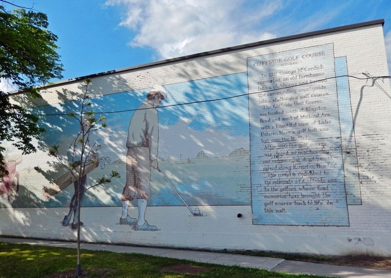
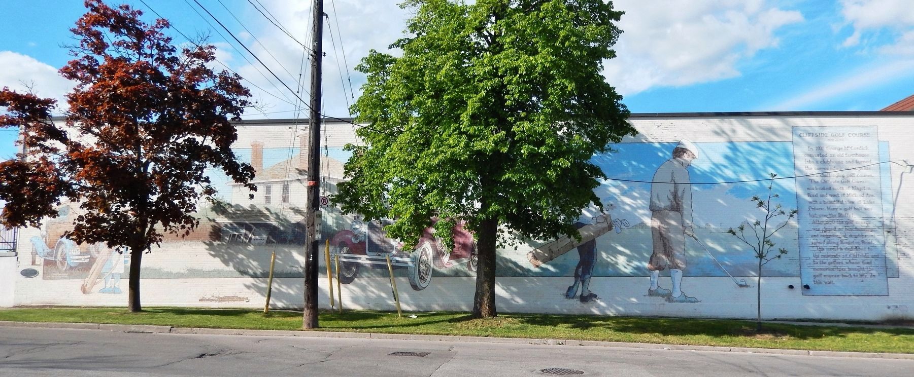
Cliffside Golf Course by Dan Sawatzky, July 1991
The murals of the Heritage Trail depict historic landmarks and events in Scarborough’s development. The purpose of the Mural Routes project is to commemorate unique features of Scarborough through art.
Scarborough Arts Council
Credits. This page was last revised on November 25, 2023. It was originally submitted on March 10, 2023, by Cosmos Mariner of Cape Canaveral, Florida. This page has been viewed 136 times since then and 45 times this year. Photos: 1, 2, 3, 4, 5. submitted on March 10, 2023, by Cosmos Mariner of Cape Canaveral, Florida.
