Maysville in Mason County, Kentucky — The American South (East South Central)
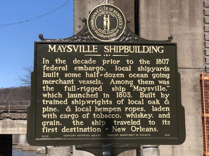
Maysville Shipbuilding / "Maysville's" Voyaging
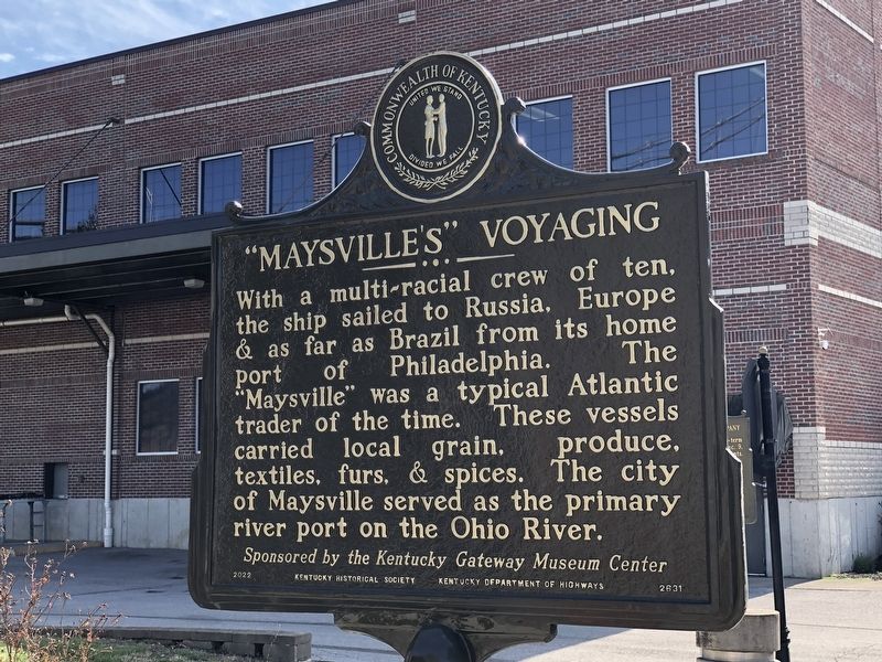
"Maysville's" Voyaging With a multi-racial crew of ten, the ship sailed to Russia, Europe & as far as Brazil from its home port of Philadelphia. The "Maysville” was a typical Atlantic trader of the time. These vessels carried local grain, produce, textiles, furs, & spices. The city of Maysville served as the primary river port on the Ohio River.
Erected 2022 by Kentucky Historical Society • Kentucky Department of Highways. (Marker Number 2631.)
Topics and series. This historical marker is listed in these topic lists: Industry & Commerce • Waterways & Vessels. In addition, it is included in the Kentucky Historical Society series list. A significant historical year for this entry is 1803.
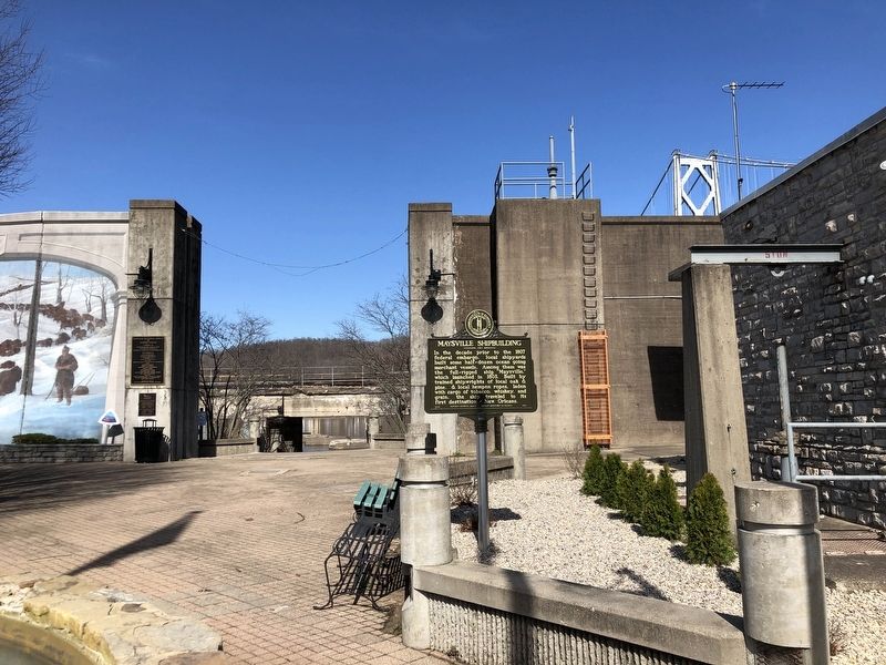
Location. 38° 38.854′ N, 83° 45.728′ W. Marker is in Maysville, Kentucky, in Mason County. Marker is at the intersection of Limestone Street and East McDonald Parkway on Limestone Street. Touch for map. Marker is at or near this postal address: 100 Limestone St, Maysville KY 41056, United States of America. Touch for directions.
Other nearby markers. At least 8 other markers are within walking distance of this marker. Mason County Spy Company (a few steps from this marker); Lewis and Clark in Kentucky / John Colter (ca. 1775-1813) (a few steps from this marker); Buffalo Trace (a few steps from this marker); Limestone Landing (within shouting distance of this marker); La Fayette's Visit to Maysville (within shouting distance of this marker); Front Street Maysville, 1850 (within shouting distance of this marker); Underground Rail Road (within shouting distance of this marker); John Samuel Darrough / Medal of Honor Recipient (within shouting distance of this marker). Touch for a list and map of all markers in Maysville.
Credits. This page was last revised on March 10, 2023. It was originally submitted on March 10, 2023, by Duane and Tracy Marsteller of Murfreesboro, Tennessee. This page has been viewed 100 times since then and 27 times this year. Photos: 1, 2, 3. submitted on March 10, 2023, by Duane and Tracy Marsteller of Murfreesboro, Tennessee.


