
Old Washington in Maysville in Mason County, Kentucky — The American South (East South Central)
Brodrick Tavern
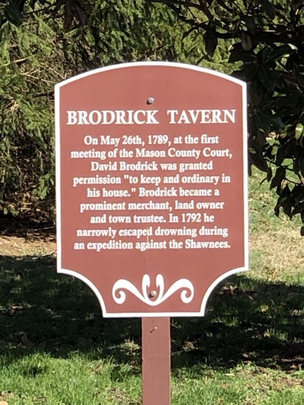
Photographed by Duane and Tracy Marsteller, March 4, 2023
1. Brodrick Tavern Marker
Topics. This historical marker is listed in these topic lists: Government & Politics • Industry & Commerce • Settlements & Settlers. A significant historical date for this entry is May 26, 1789.
Location. 38° 37.028′ N, 83° 48.501′ W. Marker is in Maysville, Kentucky, in Mason County. It is in Old Washington. It is at the intersection of Old Main Street and C Street, on the right when traveling north on Old Main Street. Touch for map. Marker is at or near this postal address: 2018 Old Main St, Maysville KY 41056, United States of America. Touch for directions.

Regionally, this marker is in Kentucky’s Outer Bluegrass. It is also in the American South, specifically in the Upper South, and in the Ohio River Valley. Globally, it is in North America, the Western Hemisphere, the Western World, and the Anglosphere. Historically,
this page online
Other nearby markers. At least 8 other markers are within walking distance of this marker: Murphy-Lasbrooke Home (within shouting distance of this marker); Old Church Museum (within shouting distance of this marker); Site of First Postal Station (within shouting distance of this marker); Mefford's Fort (within shouting distance of this marker); Paxton Inn (about 400 feet away, measured in a direct line); a different marker also named Paxton Inn (about 400 feet away); Tollhouses (about 400 feet away); Taylor's Corner (about 500 feet away). Touch for a list and map of all markers in Maysville.
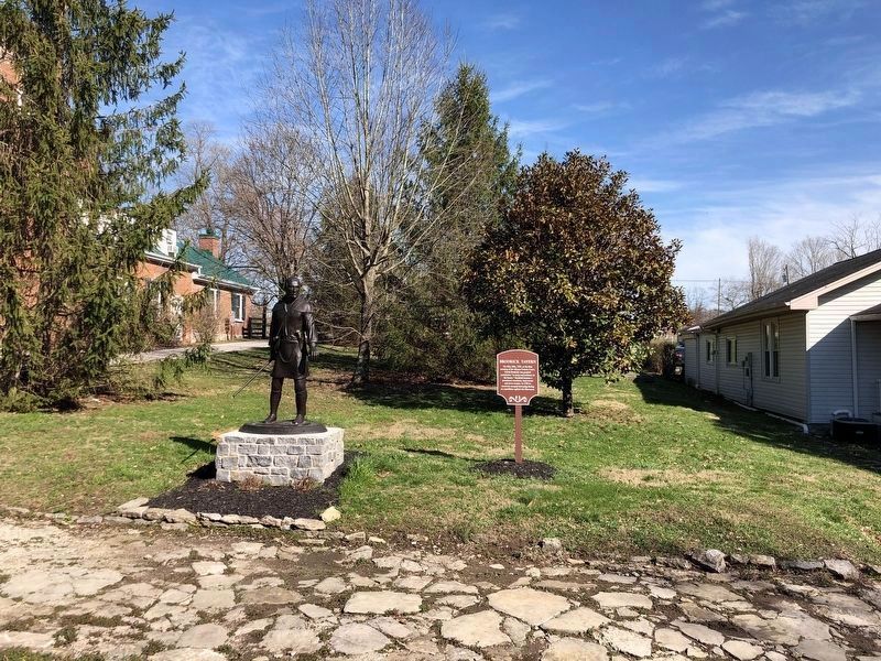
Photographed by Duane and Tracy Marsteller, March 4, 2023
2. Brodrick Tavern Marker
The statue is of Simon Kenton, an early settler in the area who sold the land that would become Washington. It and the marker are on the site of the courthouse mentioned in the marker.
Credits. This page was last revised on March 10, 2023. It was originally submitted on March 10, 2023, by Duane and Tracy Marsteller of Murfreesboro, Tennessee. This page has been viewed 667 times since then and 61 times this year. Photos: 1, 2. submitted on March 10, 2023, by Duane and Tracy Marsteller of Murfreesboro, Tennessee.
