
Old Washington in Maysville in Mason County, Kentucky — The American South (East South Central)
Haven's Chapel
1941
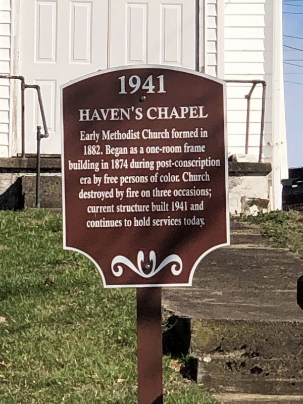
Photographed by Duane and Tracy Marsteller, March 4, 2023
1. Haven's Chapel Marker
Topics. This historical marker is listed in these topic lists: African Americans • Religion & Religious Structures. A significant historical year for this entry is 1941.
Location. 38° 36.741′ N, 83° 48.539′ W. Marker is in Maysville, Kentucky, in Mason County. It is in Old Washington. It is at the intersection of Old Main Street (Kentucky Route 2515) and F Street, on the right when traveling north on Old Main Street. Touch for map. Marker is at or near this postal address: 2222 Old Main St, Maysville KY 41056, United States of America. Touch for directions.

Regionally, this marker is in Kentucky’s Outer Bluegrass. It is also in the American South, specifically in the Upper South, and in the Ohio River Valley. Globally, it is in North America, the Western Hemisphere, the Western World, and the Anglosphere. Historically, it finds itself in what was once
this page online
Other nearby markers. At least 8 other markers are within walking distance of this marker: Simon Kenton Shrine (within shouting distance of this marker); Cane Brake (within shouting distance of this marker); "Cane Brake" Visitor's Center (within shouting distance of this marker); Joseph Desha (1768-1842) / Old Court-New Court Issue (within shouting distance of this marker); Washington, Kentucky Post Office (about 500 feet away, measured in a direct line); Early Stage-Mail Route (about 500 feet away); Site of Washington Jail (about 600 feet away); Bayless-Forman-Taylor House (about 600 feet away). Touch for a list and map of all markers in Maysville.
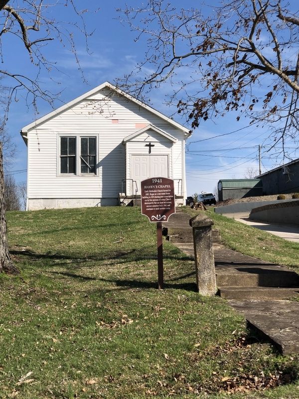
Photographed by Duane and Tracy Marsteller, March 4, 2023
2. Haven's Chapel Marker
Credits. This page was last revised on March 11, 2023. It was originally submitted on March 11, 2023, by Duane and Tracy Marsteller of Murfreesboro, Tennessee. This page has been viewed 237 times since then and 14 times this year. Photos: 1, 2. submitted on March 11, 2023, by Duane and Tracy Marsteller of Murfreesboro, Tennessee.
