
Old Washington in Maysville in Mason County, Kentucky — The American South (East South Central)
Brick Outbuilding
c. 1795
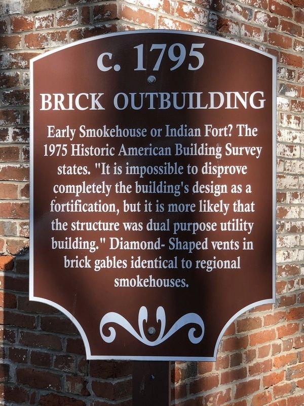
Photographed by Duane and Tracy Marsteller, March 4, 2023
1. Brick Outbuilding Marker
Topics and series. This historical marker is listed in this topic list: Architecture. In addition, it is included in the Historic American Buildings Survey series list. A significant historical year for this entry is 1795.
Location. 38° 36.875′ N, 83° 48.503′ W. Marker is in Maysville, Kentucky, in Mason County. It is in Old Washington. It is on Old Main Street (Kentucky Route 2515) north of Jail Street, on the right when traveling north. Touch for map. Marker is at or near this postal address: 2124 Old Main St, Maysville KY 41056, United States of America. Touch for directions.

Regionally, this marker is in Kentucky’s Outer Bluegrass. It is also in the American South, specifically in the Upper South, and in the Ohio River Valley. Globally, it is in North America, the Western Hemisphere, the
this page online
Other nearby markers. At least 8 other markers are within walking distance of this marker: Harriet Beecher Stowe Slavery to Freedom Museum (within shouting distance of this marker); Harriet Beecher Stowe (within shouting distance of this marker); Stone House (within shouting distance of this marker); Washington Presbyterian Church (within shouting distance of this marker); Row Houses (within shouting distance of this marker); Bayless-Forman-Taylor House (within shouting distance of this marker); Site of Washington Jail (about 300 feet away, measured in a direct line); Early Stage-Mail Route (about 300 feet away). Touch for a list and map of all markers in Maysville.
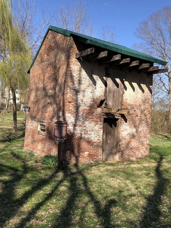
Photographed by Duane and Tracy Marsteller, March 4, 2023
2. Brick Outbuilding Marker
Credits. This page was last revised on March 11, 2023. It was originally submitted on March 11, 2023, by Duane and Tracy Marsteller of Murfreesboro, Tennessee. This page has been viewed 191 times since then and 13 times this year. Photos: 1, 2. submitted on March 11, 2023, by Duane and Tracy Marsteller of Murfreesboro, Tennessee.
