Amsterdam Oud-West , North Holland, Netherlands — Northwestern Europe
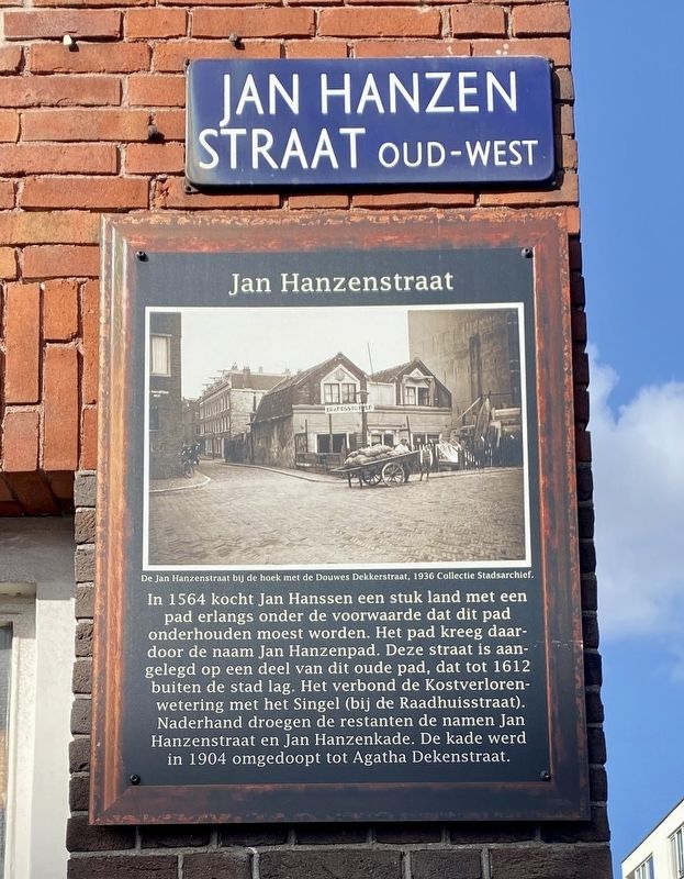
Jan Hanzenstraat
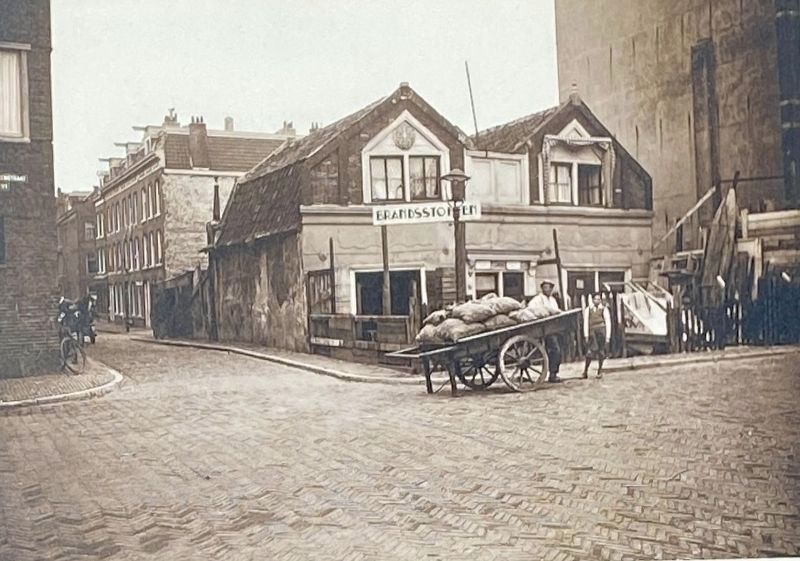
In 1564 kocht Jan Hanssen een stuk land met een pad erlangs onder de voorwaarde dat dit pad onderhouden moest worden. Het pad kreeg daardoor de naam Jan Hanzenpad. Deze straat is aangelegd op een deel van dit oude pad, dat tot 1612 buiten de stad lag. Het verbond de Kostverlorenwetering met het Singel (bij de Raadhuisstraat). Naderhand droegen de restanten de namen Jan Hanzenstraat en Jan Hanzenkade. De kade werd in 1904 omgedoopt tot Agatha Dekenstraat.
In 1564 Jan Hanssen bought a piece of land with a path along it on the condition that this path had to be maintained. The path was therefore named Jan Hanzen Path. This street was built on part of this old path, which was outside the city until 1612. It connected the Kostverlorenwetering with the Singel canal (at the Raadhuisstraat). Afterwards, the remains bore the names Jan Hanzenstraat and Jan Hanzenkade. The quay was renamed Agatha Dekenstraat in 1904.
Erected by Geef Straten Een Gezicht.
Topics and series. This historical marker is listed in this topic list: Roads & Vehicles. In addition, it is included in the Give Streets a Face / Geef Straten Een Gezicht series list.
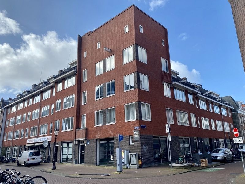
Location. 52° 22.091′ N, 4° 51.969′ E. Marker is in Amsterdam, Noord-Holland (North Holland). It is in Amsterdam Oud-West. Marker is at the intersection of Jan Hanzenstraat and Douwe Dekkerstraat, on the right when traveling west on Jan Hanzenstraat. Touch for map. Marker is at or near this postal address: Jan Hanzenstraat 54HS, Amsterdam, Noord-Holland 1053 TL, Netherlands. Touch for directions.
Other nearby markers. At least 8 other markers are within walking distance of this marker. Korte Blekersstraat (about 120 meters away, measured in a direct line); Wenslauerstraat / Wenslau Street (about 150 meters away); Kwakersstraat (about 150 meters away); Tolbrugstraat / Toll Bridge Street (about 150 meters away); Hannie Dankbaar (approx. 0.3 kilometers away); Dirk van Nimwegen (1904-1969), Verzetsman (Member of the Resistance) (approx. 0.3 kilometers away); Willem de Zwijger / William the Silent (approx. half a kilometer away); Reinier Claeszen (approx. half a kilometer away). Touch for a list and map of all markers in Amsterdam.
Also see . . . De verdwenen stad: in de Jan Hanzenstraat… (NH Nieuws, May 25, 2022, in Dutch). Full title: De verdwenen stad: in de Jan Hanzenstraat maak je een reis door de tijd = The vanished city: the Jan Hanzenstraat takes you on a journey through time (Submitted on March 13, 2023.)
Credits. This page was last revised on December 30, 2023. It was originally submitted on March 13, 2023, by Andrew Ruppenstein of Lamorinda, California. This page has been viewed 79 times since then and 34 times this year. Photos: 1, 2, 3. submitted on March 13, 2023, by Andrew Ruppenstein of Lamorinda, California.


