Near Carlisle in Nicholas County, Kentucky — The American South (East South Central)
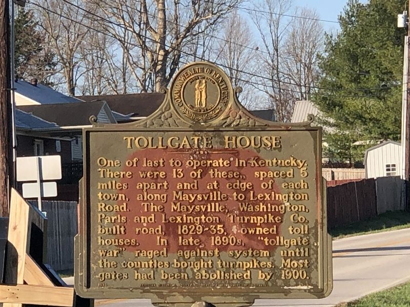
Tollgate House
Erected 1970 by Kentucky Historical Society • Kentucky Department of Highways. (Marker Number 1353.)
Topics and series. This historical marker is listed in these topic lists: Industry & Commerce • Roads & Vehicles. In addition, it is included in the Kentucky Historical Society series list. A significant historical year for this entry is 1900.
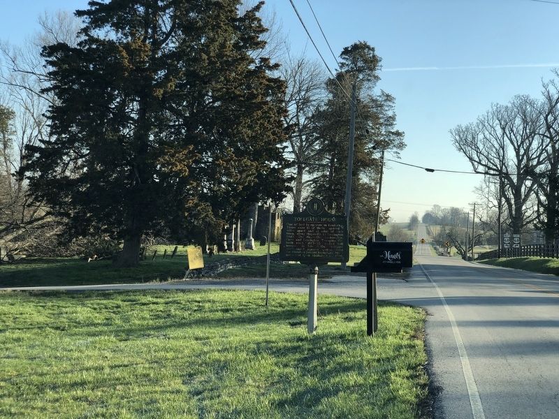
Location. 38° 18.722′ N, 84° 8.213′ W. Marker is near Carlisle, Kentucky, in Nicholas County. Marker is at the intersection of Main Street and County Road 1221, on the right when traveling west on Main Street. Marker is at Bourbon-Nicholas county line. Although physically closer to Millersburg, the marker has a Carlisle mailing address because it is on the Nicholas County side. Touch for map. Marker is at or near this postal address: 457 Maysville Rd, Carlisle KY 40311, United States of America. Touch for directions.
Other nearby markers. At least 8 other markers are within 6 miles of this marker, measured as the crow flies. Major John Miller / Millersburg, Kentucky (within shouting distance of this marker); Millersburg Military Institute (approx. 0.6 miles away); Mae Street Kidd (approx. one mile away); Colville Covered Bridge / Covered Bridges (approx. 3.7 miles away); Col. Daniel Boone (approx. 4.1 miles away); Forest Retreat (approx. 4˝ miles away); Ruddells Mills (approx. 5˝ miles away); Carlisle Passenger Depot (approx. 5.9 miles away). Touch for a list and map of all markers in Carlisle.
Regarding Tollgate House. The tollhouse referenced in the marker no longer exists.
Also see . . . Ribbon of History: The Maysville to Lexington Road (PDF). Its length (only 67 miles) is no measure of this road’s historical importance. It was the first highway in the trans-Appalachian West and was one of the most important roads in post-colonial America. (A. Gwynn Henderson and Nancey O'Malley, Kentucky Transportation Cabinet "Heritage Spotlight") (Submitted on March 13, 2023, by Duane and Tracy Marsteller of Murfreesboro, Tennessee.)
Credits. This page was last revised on March 13, 2023. It was originally submitted on March 13, 2023, by Duane and Tracy Marsteller of Murfreesboro, Tennessee. This page has been viewed 119 times since then and 36 times this year. Photos: 1, 2. submitted on March 13, 2023, by Duane and Tracy Marsteller of Murfreesboro, Tennessee.

