Wayne in Passaic County, New Jersey — The American Northeast (Mid-Atlantic)
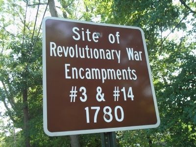
Encampments #3 & #14
Photographed by Bill Coughlin, August 16, 2009
1. Encampments #3 & #14 Marker
Revolutionary War
Encampments
#3 & #14
1780
Topics. This historical marker is listed in this topic list: War, US Revolutionary. A significant historical year for this entry is 1780.
Location. 40° 53.861′ N, 74° 16.427′ W. Marker is in Wayne, New Jersey, in Passaic County. It is at the intersection of Two Bridges Road and Lincoln Blvd, on the left when traveling west on Two Bridges Road. Touch for map. Marker is in this post office area: Wayne NJ 07470, United States of America. Touch for directions.

Regionally, this marker is in North Jersey, in Greater Newark, and in the New York City Metropolitan Area. It is also in the American Northeast and in the Mid-Atlantic. Globally, it is in North America, the Western Hemisphere, the Western World, and the Anglosphere. Historically, it finds itself in what was once New Netherland and also one of the original Thirteen Colonies.
Other nearby markers. At least 8 other markers are within 3 miles of this marker, measured as the crow flies: Demarest House (approx. 0.4 miles away); Morris Canal (approx. 1.2 miles away); John Dods Tavern (approx. 2.4 miles away); Washington Headquarters
this page online
Other markers no longer nearby. Dey Mansion (was approx. 2.4 miles away but has been confirmed missing); Headquarters of General George Washington (was approx. 2.4 miles away but has been confirmed missing); a different marker also named Washington Headquarters (was approx. 2½ miles away).
Photographed by Bill Coughlin, August 16, 2009
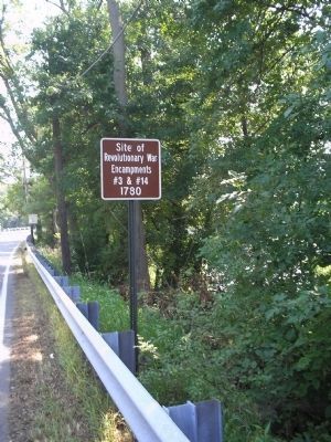
2. Marker on Two Bridges Road
The Continental Army camped in this area, known as the Preakness valley, due to its proximity to British-occupied New York City and to nearby food sources.
Photographed by Bill Coughlin, August 16, 2009
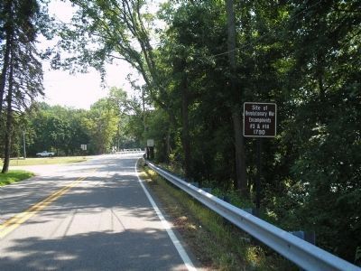
3. Marker in Wayne
The New Jersey Brigade camped in this vicinity from July 1 through July 29, 1780.
Photographed by Bill Coughlin, August 16, 2009
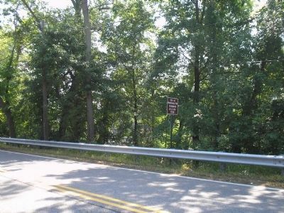
4. Revolutionary War Encampment Site
The Passaic River can be seen in the photo behind the marker.
Photographed by Bill Coughlin, August 16, 2009
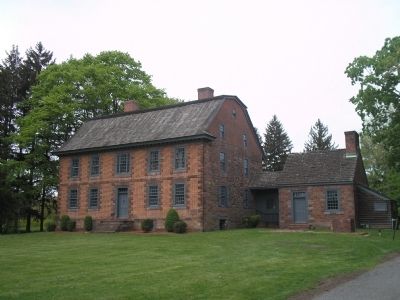
5. Dey Mansion
General Washington made his headquarters in this house during the 1780 encampment. The mansion is about 2½ miles from the marker.
Credits. This page was last revised on June 16, 2016. It was originally submitted on August 20, 2009, by Bill Coughlin of Woodland Park, New Jersey. This page has been viewed 1,351 times since then and 33 times this year. Photos: 1, 2, 3, 4, 5. submitted on August 20, 2009, by Bill Coughlin of Woodland Park, New Jersey.
