
West Paterson in Passaic County, New Jersey — The American Northeast (Mid-Atlantic)
Washington’s Lookout
Photographed by Bill Coughlin, August 16, 2009
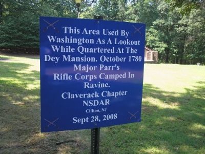
1. Washington’s Lookout Marker
Washington as a lookout
while quartered at the
Dey Mansion. October 1780
Major Parr’s
Rifle Corps camped in
ravine.
Claverack Chapter
NSDAR
Clifton, NJ
Sept 28, 2008
Erected 2008 by National Society Daughters of the American Revolution, Claverack Chapter.
Topics and series. This historical marker is listed in this topic list: War, US Revolutionary. In addition, it is included in the Daughters of the American Revolution (DAR) series list. A significant historical year for this entry is 1780.
Location. Marker is missing. It was located near 40° 53.276′ N, 74° 11.207′ W. Marker was in West Paterson, New Jersey, in Passaic County. It was on Rifle Camp Road, on the right when traveling north. Marker is located in Rifle Camp Park in West Paterson. Touch for map. Marker was in this post office area: Little Falls NJ 07424, United States of America. Touch for directions.

Regionally, this marker was in New Jersey’s North Jersey, in Greater Newark, and in the New York City Metropolitan Area. It was also in the American Northeast and in the Mid-Atlantic. Globally, it was in North America, the Western Hemisphere,
this page online
Other nearby markers. At least 8 other markers are within 2 miles of this location, measured as the crow flies: A different marker also named Washington’s Lookout (within shouting distance of this marker); Martin Luther King, Jr. (approx. 0.9 miles away); Great Notch (approx. one mile away); Lambert Tower (approx. 1.1 miles away); Watchung Ridge (approx. 1.1 miles away); Hillery Street Bridge over the Passaic River (approx. 1.3 miles away); In Memory Of Robert Dix Benson (approx. 1.4 miles away); Garret Mountain Reservation (approx. 1.4 miles away).
More about this marker. Passaic County recently installed six new historic markers. One of these new markers was placed here, replacing this marker.
Photographed by Bill Coughlin, August 16, 2009
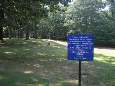
2. Marker in Rifle Camp Park
Photographed by Bill Coughlin, August 16, 2009
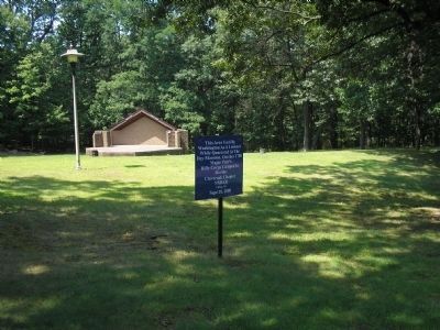
3. Washington’s Lookout Marker
During the 1780 encampment, this area served as a lookout point and a signal station. A signal cannon located here was part of Lord Sterling's beacon-alarm system.
Photographed by Bill Coughlin, August 16, 2009
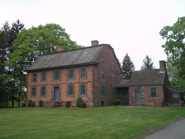
4. Dey Mansion
In July of 1780, George Washington made his headquarters in the home of Colonel Theunis Dey of the Bergen County Militia. It is located about 3 miles west of the marker.
Credits. This page was last revised on June 16, 2016. It was originally submitted on August 20, 2009, by Bill Coughlin of Woodland Park, New Jersey. This page has been viewed 1,372 times since then and 29 times this year. Photos: 1, 2, 3, 4. submitted on August 20, 2009, by Bill Coughlin of Woodland Park, New Jersey.
