Bahama in Durham County, North Carolina — The American South (South Atlantic)
William B. Umstead
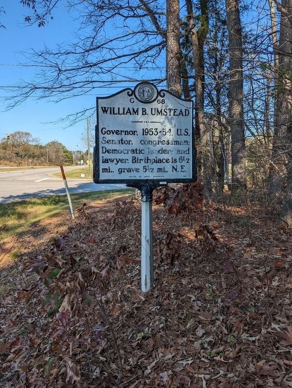
Photographed by Michael Buckner, November 19, 2022
1. William B. Umstead Marker
Erected 1956 by Archives and Highway Departments. (Marker Number G-68.)
Topics. This historical marker is listed in this topic list: Government & Politics.
Location. 36° 9.058′ N, 78° 54.314′ W. Marker is in Bahama, North Carolina, in Durham County. It is at the intersection of North Roxboro Street (U.S. 501) and Bahama Road (County Route 1616), on the right when traveling north on North Roxboro Street. Touch for map. Marker is at or near this postal address: 2 Bahama Road, Bahama NC 27503, United States of America. Touch for directions.

Regionally, this marker is in the Piedmont and in the Research Triangle. It is also in the American South and specifically in the Upper South. Globally, it is in North America, the Western Hemisphere, the Western World, and the Anglosphere. Historically, it finds itself in what was once the territory of the Mississippian Culture, one of the original Thirteen Colonies, one of the Confederate States of
this page online
Other nearby markers. At least 8 other markers are within 8 miles of this marker, measured as the crow flies: Stephen B. Weeks (within shouting distance of this marker); Mount Bethel Methodist Church (approx. 1.9 miles away); Trading Path (approx. 2.3 miles away); Historic Russell School (approx. 2.9 miles away); West Point Truce Line (approx. 5.7 miles away); St. Mary's Chapel (approx. 5.8 miles away); a different marker also named St. Mary's Chapel (approx. 5.8 miles away); Duke Homestead (approx. 7.7 miles away). Touch for a list and map of all markers in Bahama.
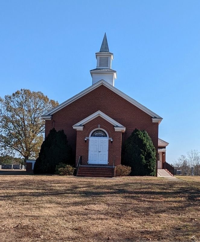
Photographed by Michael Buckner, November 19, 2022
2. Mount Tabor United Methodist Church
Credits. This page was last revised on March 15, 2023. It was originally submitted on November 21, 2022, by Michael Buckner of Durham, North Carolina. This page has been viewed 297 times since then and 36 times this year. Last updated on March 14, 2023, by Michael Buckner of Durham, North Carolina. Photos: 1, 2. submitted on November 21, 2022, by Michael Buckner of Durham, North Carolina. • Bill Pfingsten was the editor who published this page.
