Mission San Jose District in Fremont in Alameda County, California — The American West (Pacific Coastal)
Sabercat Historical Park
Paseo Padre Entrance
— City of Fremont —
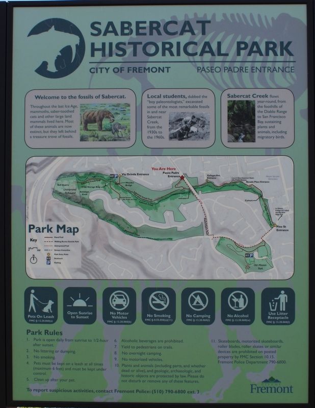
Throughout the last Ice age, mammoths, saber-toothed cats and other large land mammals lived here. Most of these animals are now extinct, but they left behind a treasure trove of fossils.
Local students, dubbed the “boy paleontologists,” excavated some of the most remarkable fossils in and near Sabercat Creek, from the 1930s to the 1960s.
Sabercat Creek flows year-round, from the foothills of the Diablo Range to San Francisco Bay, sustaining plants and animals, including migratory birds.
Erected by City of Fremont.
Topics. This historical marker is listed in this topic list: Paleontology. A significant historical year for this entry is 1930.
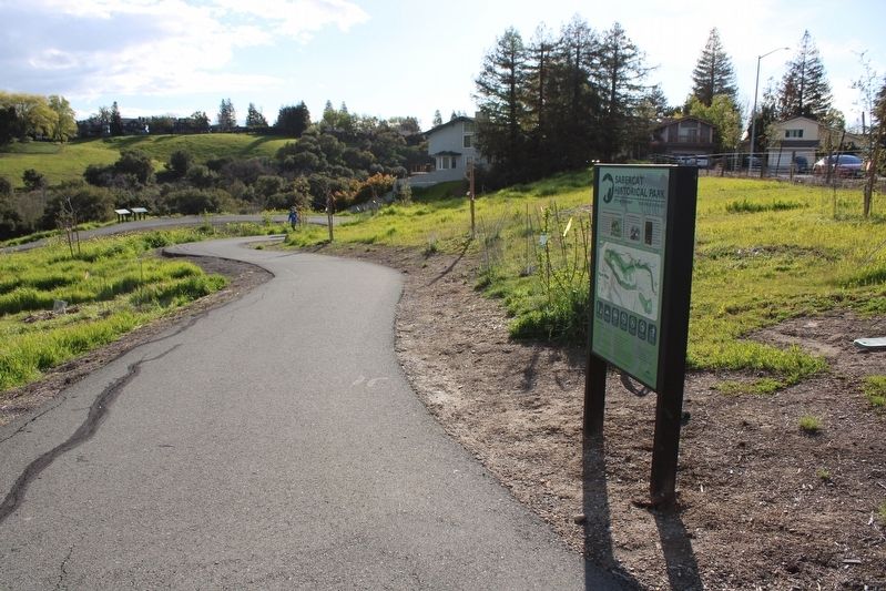
Location. 37° 31.678′ N, 121° 55.898′ W. Marker is in Fremont, California, in Alameda County. It is in the Mission San Jose District. Marker can be reached from the intersection of Paseo Padre parkway and Quema Drive. The resin marker is at the Paseo Padre entrance to the Sabercat Creek Trail. Touch for map. Marker is in this post office area: Fremont CA 94539, United States of America. Touch for directions.
Other nearby markers. At least 8 other markers are within walking distance of this marker. East View (within shouting distance of this marker); West View (within shouting distance of this marker); Gathering and Cooking Acorns (approx. ¼ mile away); a different marker also named Sabercat Historical Park (approx. 0.3 miles away); Under the Canopy (approx. 0.3 miles away); The Hirsch Dairy Barn (approx. 0.3 miles away); Winery Road (approx. 0.4 miles away); In Search of Fossils (approx. 0.6 miles away). Touch for a list and map of all markers in Fremont.
Also see . . . Boy Paleontologists. Washington Township Museum of Local History
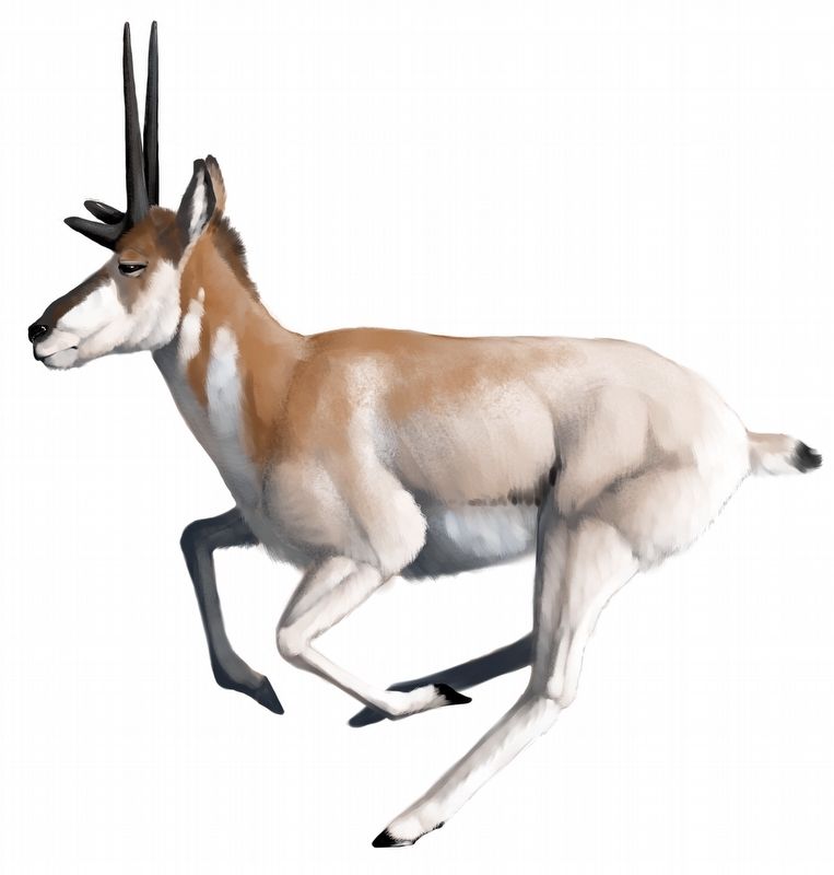
"In the Irvington gravel pits, known as Bell Quarry, located off of Osgood Road from 1944 to 1960, the Boy Paleontologists of Hayward unearthed plant and animal fossils including mammoths, saber cats, horses, camels, and even rodents. A new species named Tetrameryx irvingtonensis, a four-pronged antelope, was the most significant find."(Submitted on March 14, 2023, by Joseph Alvarado of Livermore, California.)
Credits. This page was last revised on March 14, 2023. It was originally submitted on March 14, 2023, by Joseph Alvarado of Livermore, California. This page has been viewed 198 times since then and 44 times this year. Photos: 1, 2, 3, 4. submitted on March 14, 2023, by Joseph Alvarado of Livermore, California.


