Beasley in Hamilton, Ontario — Central Canada (North America)
George Hamilton 1787-1836
Photographed by Tim Boyd, March 15, 2023
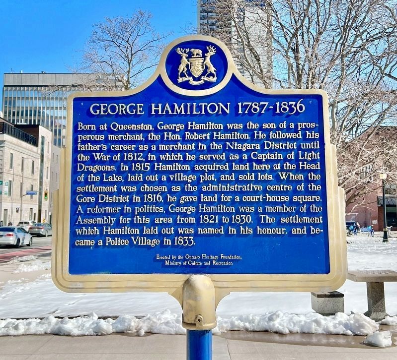
1. George Hamilton 1787-1836 Marker
Born at Queenston, George Hamilton was the son of a prosperous merchant, the Hon. Robert Hamilton. He followed his father's career as a merchant in the Niagara District until the War of 1812, in which he served as a Captain of Light Dragoons. In 1815 Hamilton acquired land here at the Head of the Lake, laid out a village plot, and sold lots. When the settlement was chosen as the administrative centre of the Gore District in 1816, he gave land for a court-house square. A reformer in politics, George Hamilton was a member of the Assembly for this area from 1821 to 1830. The settlement which Hamilton laid out was named in his honour, and became a Police Village in 1833. Erected by the Ontario Heritage Foundation, Ministry of Culture and Recreation
Erected by Ontario Heritage Foundation.
Topics and series. This historical marker is listed in these topic lists: Colonial Era • Settlements & Settlers • War of 1812. In addition, it is included in the Canada, Ontario Heritage Trust series list. A significant historical year for this entry is 1816.
Location. 43° 15.29′ N, 79° 52.063′ W. Marker is in Hamilton, Ontario.
this page online

Regionally, this marker is on the Golden Horseshoe, in the Hamilton-Halton-Brant Area, and specifically in the Toronto Metropolitan Area. It is also in Central Canada. Globally, it is in North America, on the Great Lakes, in the Western Hemisphere, in the Western World, and in the Anglosphere. Historically, it finds itself in what was once a British colony, the Viceroyalty of New France, the Haudenosaunee (Iroquois) Confederacy, and Rupert’s Land.
Other nearby markers. At least 8 other markers are within walking distance of this marker: The United Empire Loyalists (within shouting distance of this marker); Former Dominion Public Building (about 120 meters away, measured in a direct line); The City of Hamilton Cenotaph (about 120 meters away); The First Telephone Exchange in the British Empire
Photographed by Tim Boyd, March 15, 2023
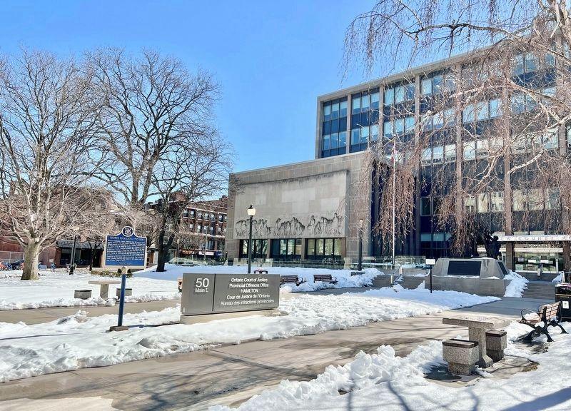
2. George Hamilton 1787-1836 Marker
Credits. This page was last revised on April 29, 2023. It was originally submitted on March 15, 2023, by Tim Boyd of Hamilton, Ontario. This page has been viewed 400 times since then and 58 times this year. Photos: 1, 2. submitted on March 15, 2023, by Tim Boyd of Hamilton, Ontario. • Andrew Ruppenstein was the editor who published this page.
