Burgin in Mercer County, Kentucky — The American South (East South Central)
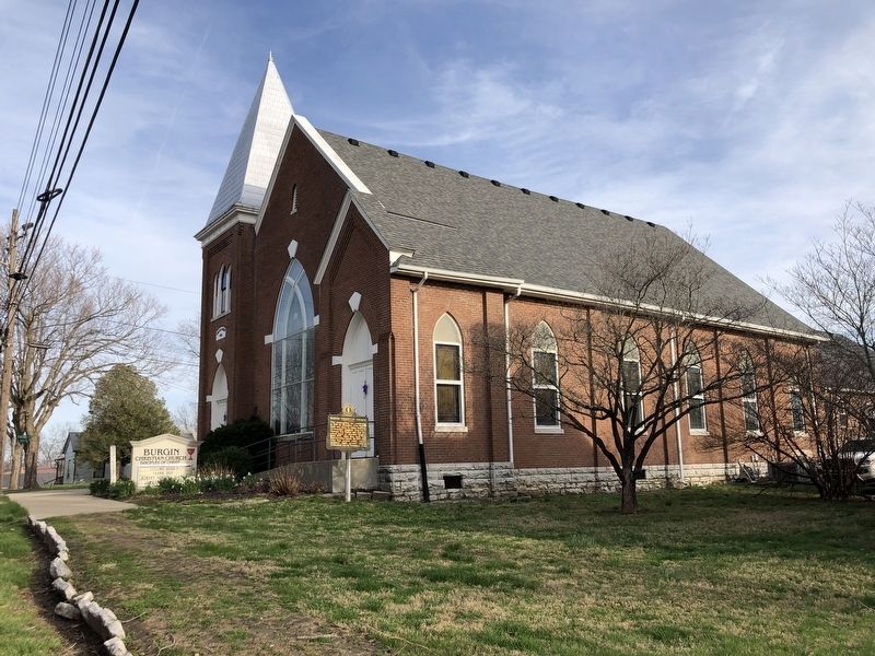
Burgin Christian Church
Inscription.
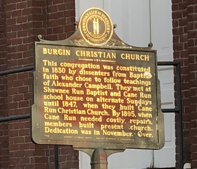
This congregation was constituted in 1830 by dissenters from Baptist faith who chose to follow teachings of Alexander Campbell. They met at Shawnee Run Baptist and Cane Run school house on alternate Sundays until 1847, when they built Cane Run Christian Church. By 1895, when Cane Run needed costly repairs, members built present church. Dedication was in November. Over.
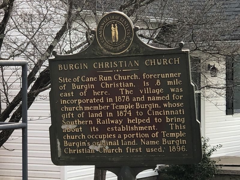
Site of Cane Run Church, forerunner of Burgin Christian, is .8 mile east of here. The village was incorporated in 1878 and named for church member Temple Burgin, whose gift of land in 1874 to Cincinnati Southern Railway helped to bring about its establishment. This church occupies a portion of Temple Burgin's original land. The name Burgin Christian Church first used, 1896.
Erected by Kentucky Historical Society • Kentucky Department of Highways. (Marker Number 1629.)
Topics and series. This historical marker is listed in these topic lists: Churches & Religion • Settlements & Settlers. In addition, it is included in the Kentucky Historical Society series list. A significant historical year for this entry is 1830.
Location. 37° 45.202′ N, 84° 46.261′ W. Marker is in Burgin, Kentucky, in Mercer County. Marker is at the intersection of West Main Street (Kentucky Route 152) and 2nd Street, on the right when traveling east on West Main Street. Touch for map. Marker is at or near this postal address: 300 W Main St, Harrodsburg KY 40330, United States of America. Touch for directions.
Other nearby markers. At least 8 other markers are within 4 miles of this marker, measured as the crow flies. Early Vital Junction / Colonel John Bowman (approx. half a mile away); Glenworth/Robert Mosby Davis House (approx. 1˝ miles away); John Gordon's Station (approx. 2.3 miles away); Rev. John Rice (approx. 2.4 miles away); John Bunton's Station (approx. 2.6 miles away); Boone's Cave (approx. 3 miles away); Abraham Chapline Plantation / Rufus Henry Vandarsdall House (approx. 3.1 miles away); J.S. Wallace House (approx. 3.2 miles away). Touch for a list and map of all markers in Burgin.
Credits. This page was last revised on March 16, 2023. It was originally submitted on March 16, 2023, by Duane and Tracy Marsteller of Murfreesboro, Tennessee. This page has been viewed 95 times since then and 30 times this year. Photos: 1, 2, 3. submitted on March 16, 2023, by Duane and Tracy Marsteller of Murfreesboro, Tennessee.


