Fergus in Wellington County, Ontario — Central Canada (North America)
The Founders of Fergus
Photographed by Tim Boyd, August 30, 2021
1. The Founders of Fergus Marker
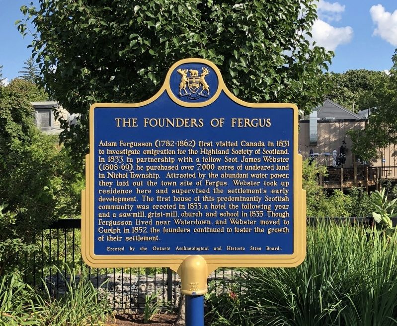
Adam Fergusson (1782-1862) first visited Canada in 1831 to investigate emigration for the Highland Society of Scotland. In 1833, in partnership with a fellow Scot, James Webster (1808-69), he purchased over 7,000 acres of uncleared land in Nichol Township. Attracted by the abundant water power, they laid out the town site of Fergus. Webster took up residence here and supervised the settlement's early development. The first house of this predominantly Scottish community was erected in 1833, a hotel the following year and a sawmill, grist-mill, church and school in 1835. Though Fergusson lived near Waterdown, and Webster moved to Guelph in 1852, the founders continued to foster the growth of their settlement.
Erected by the Ontario Archaeological and Historic Sites Board.
Erected by The Ontario Archeological and Historic Sites Board.
Topics and series. This historical marker is listed in this topic list: Settlements & Settlers. In addition, it is included in the Canada, Ontario Heritage Trust series list. A significant historical year for this entry is 1833.
Location. 43° 42.292′ N, 80° 22.67′ W. Marker
this page online

Regionally, this marker is in the Huron-Perth-Waterloo-Wellington Area and in Southwestern Ontario. It is also in Central Canada. Globally, it is in North America, the Western Hemisphere, the Western World, and the Anglosphere. Historically, it finds itself in what was once a British colony, the Viceroyalty of New France, the Haudenosaunee (Iroquois) Confederacy, and Rupert’s Land.
Other nearby markers. At least 8 other markers are within walking distance of this marker: Templin Gardens (within shouting distance of this marker); 212 St. Andrew Street W (within shouting distance of this marker); St. David Street Bridge (about 90 meters away, measured in a direct line); Weigh Scale Building (about 120 meters away); Fergus Swimming Pool

Photographed by Tim Boyd, August 30, 2021
2. The Founders of Fergus Marker
Also see . . .
1. Downtown Fergus. Historic Fergus est. 1833 (Submitted on March 19, 2023, by Tim Boyd of Hamilton, Ontario.)
2. Fergus| The Canadian Encylopedia. (Submitted on March 19, 2023, by Tim Boyd of Hamilton, Ontario.)
Additional commentary.
1.
Fergus has proudly maintained much of its Scottish heritage, and has an annual Scottish Festival and Highland Games in August.
— Submitted March 19, 2023, by Tim Boyd of Hamilton, Ontario.
Photographed by Tim Boyd, August 30, 2021
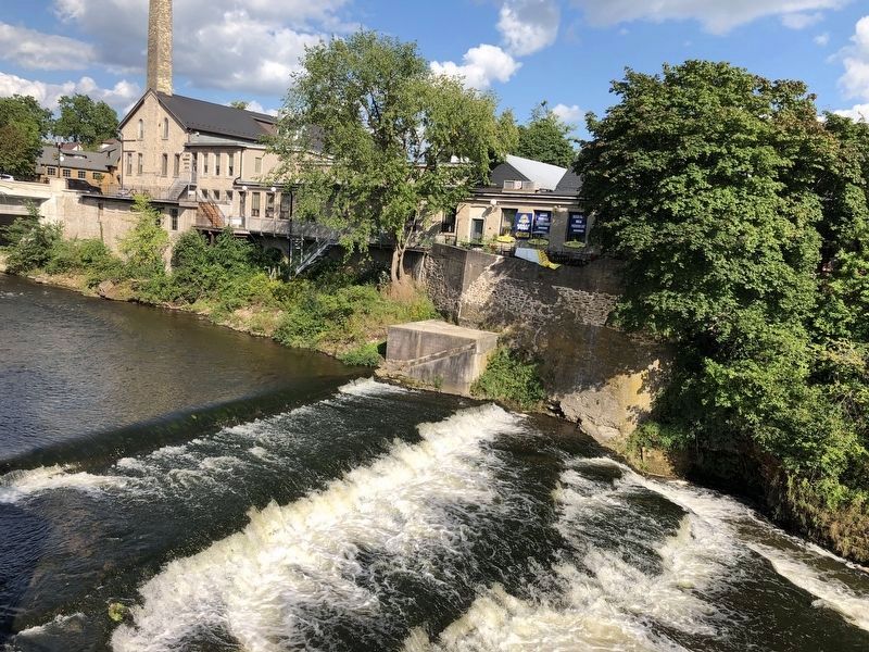
3. The Grand River in Fergus from Templin Gardens

Photographed by Tim Boyd, August 30, 2023
4. The public library in Fergus on St. Andrew’s St. W.

Photographed by Tim Boyd, August 30, 2023
5. Shop on St. Andrew’s Street in downtown Fergus
Credits. This page was last revised on March 19, 2023. It was originally submitted on March 19, 2023, by Tim Boyd of Hamilton, Ontario. This page has been viewed 451 times since then and 40 times this year. Photos: 1, 2, 3, 4, 5. submitted on March 19, 2023, by Tim Boyd of Hamilton, Ontario. • Andrew Ruppenstein was the editor who published this page.
