Michipicoten in Wawa in Algoma District, Ontario — Central Canada (North America)
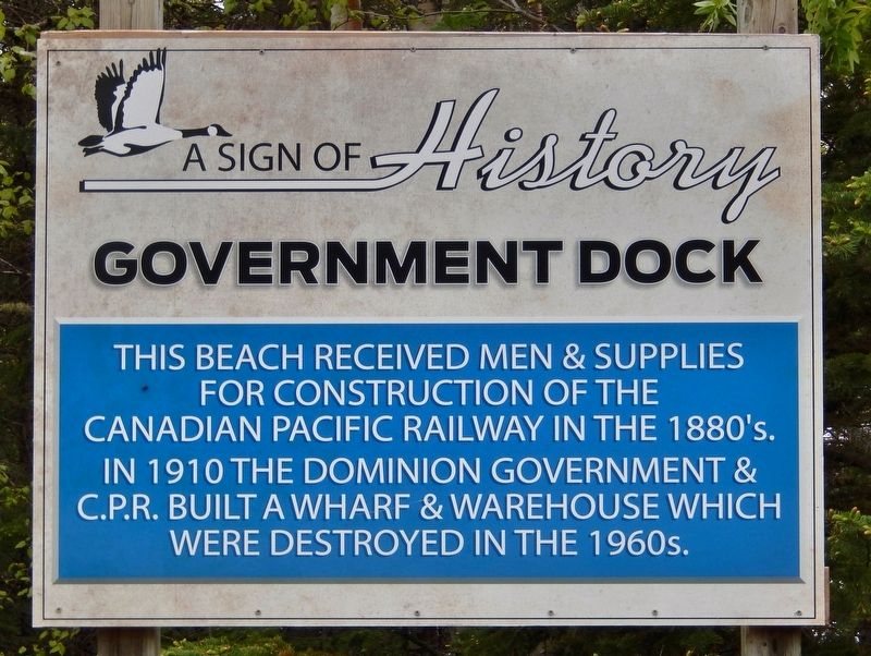
Government Dock
— A Sign of History —
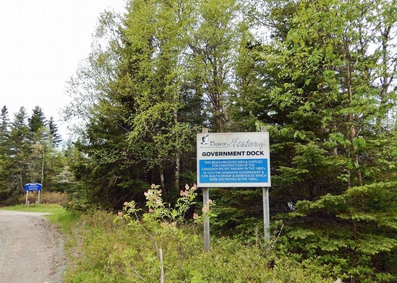
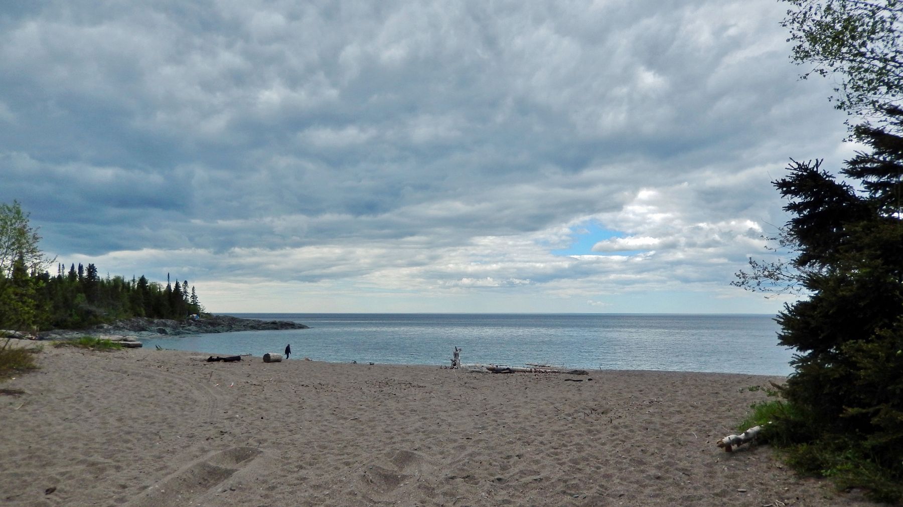
This beach received men & supplies for construction of the Canadian Pacific Railway in the 1880’s. In 1910 the Dominion Government & C.P.R. built a wharf and warehouse which were destroyed in the 1960’s.
Topics. This historical marker is listed in these topic lists: Industry & Commerce • Railroads & Streetcars • Waterways & Vessels. A significant historical year for this entry is 1910.
Location. 47° 56.2′ N, 84° 50.936′ W. Marker is in Wawa, Ontario, in Algoma District. It is in Michipicoten. Marker is on Government Dock Road, one kilometer west of Michipicoten Harbour Road. Marker is near Government Dock Beach. Touch for map. Marker is in this post office area: Wawa ON P0S 1K0, Canada. Touch for directions.
Other nearby markers. At least 8 other markers are within walking distance of this marker. Morley Callaghan (1903-1990) (here, next to this marker); Captain Arthur Batten & S.S. Caribou (here, next to this marker); Michipicoten Scenic Lookout (approx. one kilometer away); Alexander Young Jackson (1882-1974) (approx. one kilometer away); Professor Lewis Agassiz (1807-1873) (approx. one kilometer away); Michipicoten River Cemetery (approx. one kilometer away); The Fur Trade at Michipicoten (approx. 1.2 kilometers away); Louisa MacKenzie Bethune (1793-1833) (approx. 1.2 kilometers away). Touch for a list and map of all markers in Wawa.
Also see . . . Wawa History.
In 1883, construction of the Canadian Pacific Railway was delayed by the severe terrain north of Lake Superior. To speed up the building of Canada’s first trans-continental railroad, Wawa was utilized as a critical supply point. Seventy-five years later, that same terrain hindered the building of the Trans-Canada Highway, with the Wawa link being one of the most difficult, most expensive and final sections to be completed.(Submitted on March 20, 2023, by Cosmos Mariner of Cape Canaveral, Florida.)
Credits. This page was last revised on March 21, 2023. It was originally submitted on March 19, 2023, by Cosmos Mariner of Cape Canaveral, Florida. This page has been viewed 67 times since then and 16 times this year. Photos: 1, 2, 3. submitted on March 20, 2023, by Cosmos Mariner of Cape Canaveral, Florida.


