
Delft, South Holland, Netherlands — Northwestern Europe
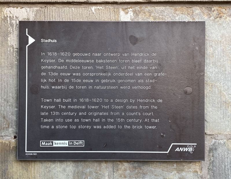
Stadhuis
⎯⎯⎯
Town Hall
Photographed by Andrew Ruppenstein, March 11, 2023
1. Stadhuis / Town Hall Marker

Erected by The ANWB, VVV.
Topics. This historical marker is listed in this topic list: Government & Politics.
Location. 52° 0.691′ N, 4° 21.52′ E. Marker is in Delft, Zuid-Holland (South Holland). It is on Markt, on the left when traveling north. Touch for map. Marker is at or near this postal address: Markt 1, Delft, Zuid-Holland 2611 JC, Netherlands. Touch for directions.

Regionally, it is in Europe, the European Union, Atlantic Europe, the
this page online
Other nearby markers. At least 8 other markers are within walking distance of this marker: Gezicht op Delft… / The View of Delft… (within shouting distance of this marker); Vleeshal / Meathall (within shouting distance of this marker); Huis “Het Tonnetgen” (within shouting distance of this marker); Jan Vermeer (about 90 meters away, measured in a direct line); Antoni van Leeuwenhoek (about 90 meters away); Nieuwe Kerk / New Church (about 120 meters away); Johannes Vermeer (about 120 meters away); Meisjeshuis / Orphanage for Girls (about 150 meters away). Touch for a list and map of all markers in Delft.
Also see . . . City Hall (Delft) (Wikipedia).
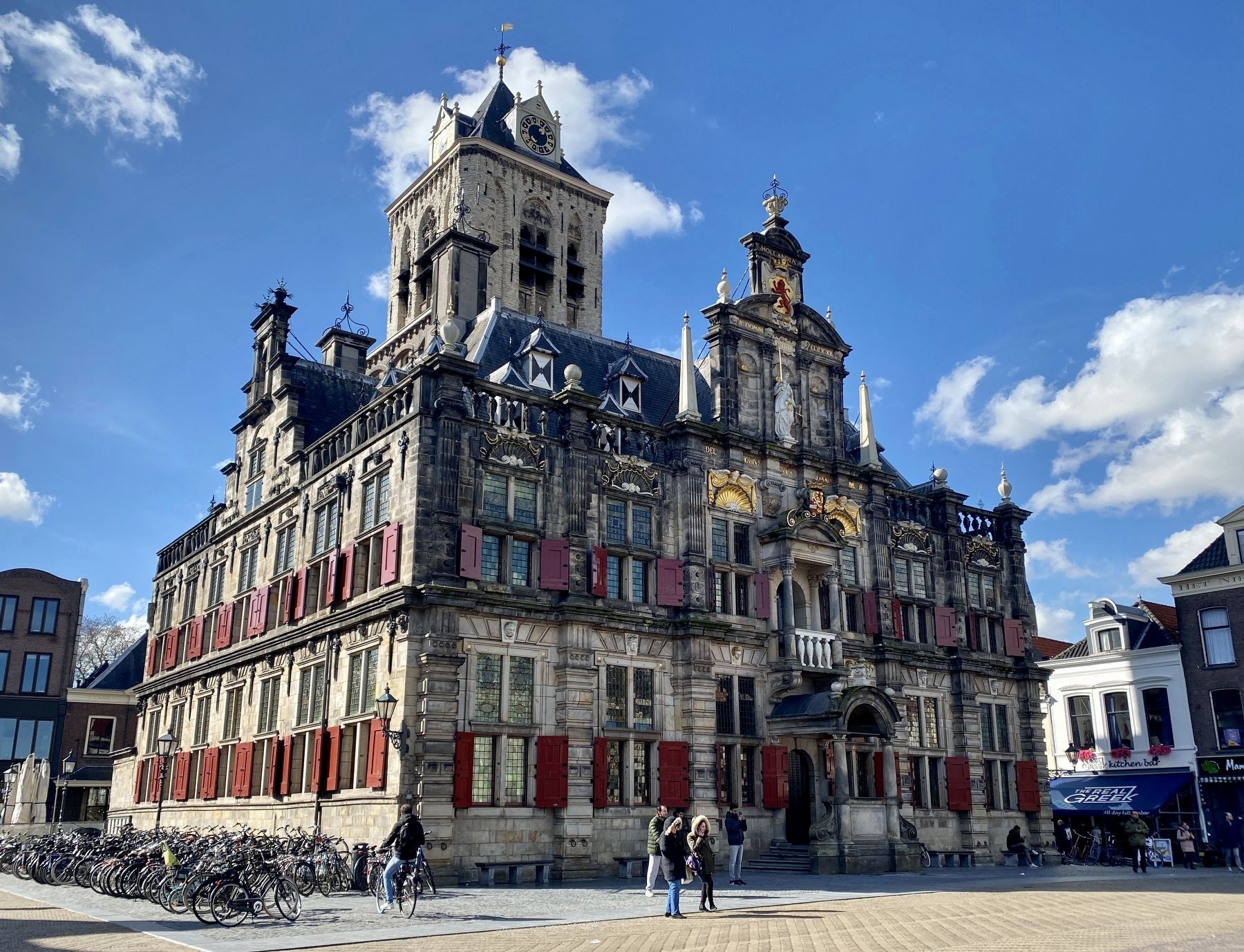
Overview: The City Hall in Delft is a Renaissance style building on the Markt across from the Nieuwe Kerk. It is the seat of the city's government as well as a popular venue for civic wedding ceremonies. Most administrative functions have been transferred to an office inside the Delft(Submitted on March 20, 2023.)railway station building. Originally designed by the Dutch architect Hendrick de Keyser, it was heavily changed over the centuries and was restored in the 20th century to its Renaissance appearance.Photographed by Andrew Ruppenstein, March 11, 20232. Stadhuis / Town Hall Marker - wide view
Photographed by Andrew Ruppenstein, March 11, 2023
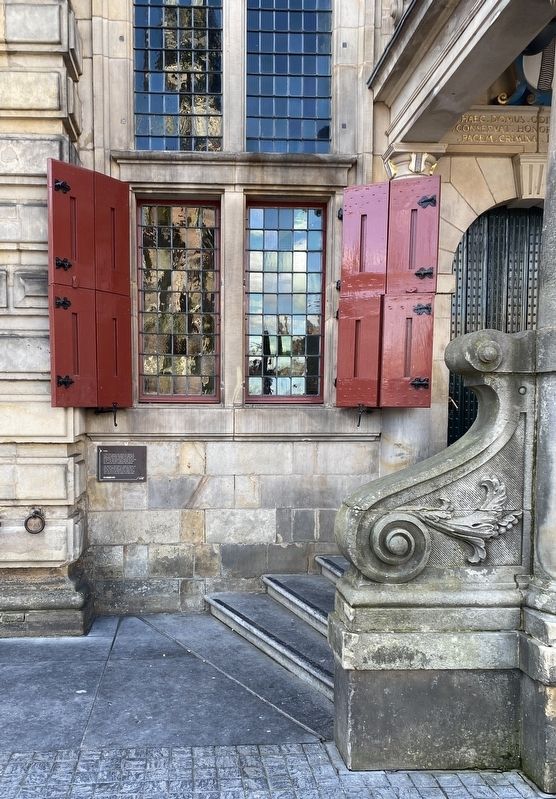
3. Stadhuis / Town Hall and Marker
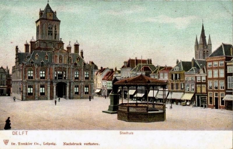
Photographed by Dr. Trenkler Co., Leipzig, circa 1905
4. Delft Stadhuis
Credits. This page was last revised on December 31, 2023. It was originally submitted on March 20, 2023, by Andrew Ruppenstein of Lamorinda, California. This page has been viewed 142 times since then and 8 times this year. Photos: 1, 2, 3, 4. submitted on March 20, 2023, by Andrew Ruppenstein of Lamorinda, California.
