Near Currie in Pender County, North Carolina — The American South (South Atlantic)
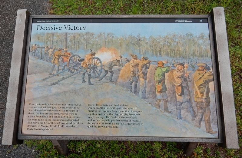
Decisive Victory
| — | Moores Creek National Battlefield | — |
Courtesy of Thomas P. Martin, April 24, 2017
1. Decisive Victory Marker
Patriot losses were one dead and one wounded. After the battle, patriots captured hundreds of loyalists, large quantities of weapons, supplies, and more than £15,000 ($13,850,000 in today's money). The Battle of Moores Creek undermined royal hopes that armies of loyalists throughout the South would join British troops to quell the growing rebellion.
Erected by National Park Service.
Topics. This historical marker is listed in this topic list: War, US Revolutionary. A significant historical date for this entry is February 27, 1776.
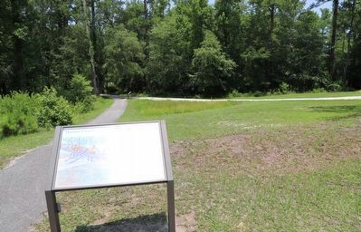
Location. 34° 27.501′ N, 78° 6.753′ W. Marker is near Currie, North Carolina, in Pender County. It can be reached from Moores Creek Drive 0.2 miles west of North Carolina Route 210. Marker is on
this page online

Regionally, this marker is in the Coastal Plain. It is also in the American South, specifically in the Upper South, in the Tidewater, and on the Eastern Seaboard. Globally, it is in the North Atlantic Region, North America, the Western Hemisphere, the Western World, and the Anglosphere. Historically, it finds itself in what was once the territory of the Mississippian Culture, one of the original Thirteen Colonies, one of the Confederate States of America, and the Antebellum South.
Other nearby markers. At least 8 other markers are within walking distance of this marker: Old Wilmington and Fayetteville Stage Road (here, next to this marker); Aftermath of Moores Creek (within shouting distance of this marker); Stunning Defeat (within shouting distance of this marker); A Very Bad Swamp ... (within shouting distance of this marker); John Grady Memorial (within shouting distance of this marker); Wisely Chosen Ground (within shouting distance of this marker);
Photographed by Dave W, June 17, 2023
2. Decisive Victory Marker
Credits. This page was last revised on June 24, 2023. It was originally submitted on March 20, 2023, by Duane and Tracy Marsteller of Murfreesboro, Tennessee. This page has been viewed 218 times since then and 28 times this year. Photos: 1. submitted on March 20, 2023, by Duane and Tracy Marsteller of Murfreesboro, Tennessee. 2. submitted on June 23, 2023, by Dave W of Co, Colorado.
