Fruitvale in Oakland in Alameda County, California — The American West (Pacific Coastal)
Tidal Canal
Inset Image:
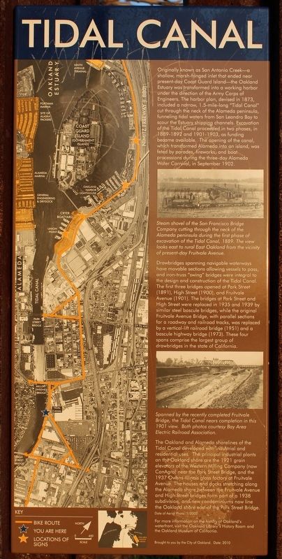
Steam shovel of the San Francisco Bridge Company cutting through the neck of the Alameda peninsula during the first phase of excavation of the Tidal Canal, 1889. The view looks east to rural East Oakland from the vicinity of present-day Fruitvale Avenue.
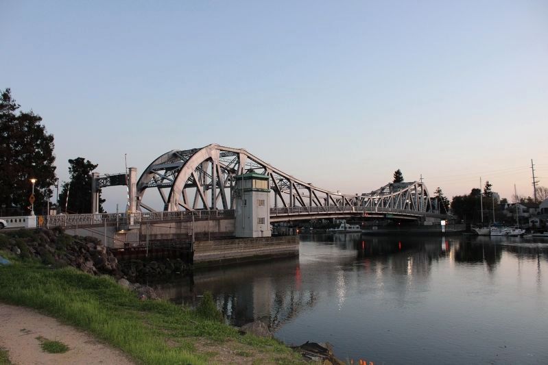
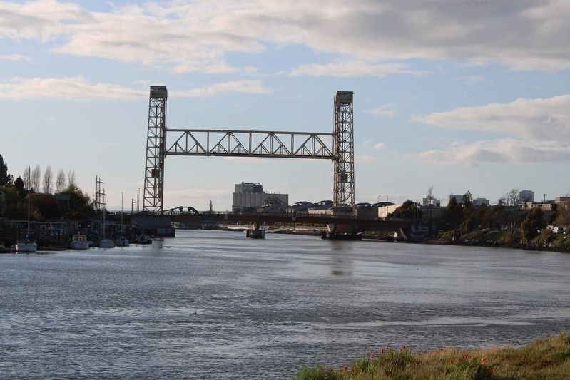
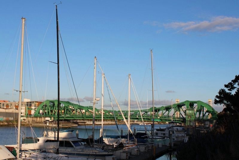
Drawbridges spanning navigable waterways have moveable sections allowing vessels to pass, and iron-truss “swing” bridges were integral to the design and construction of the Tidal Canal. The first three bridges opened at Park Street (1891), High Street (1900), and Fruitvale Avenue (1901). The bridges at Park Street and High Street were replaced in 1935 and 1939 by similar steel bascule bridges, while the original Fruitvale Avenue Bridge, with parallel sections for a roadway and railroad tracks, was replaced by a vertical-lift railroad bridge (1951) and a bascule highway bridge (1973). These four spans comprise the largest group of drawbridges in the state of California.
Inset Image:
Spanned by the recently completed Fruitvale Bridge, the Tidal Canal nears completion in this 1901 view. Both photos courtesy Bay Area Electric Railroad Association.
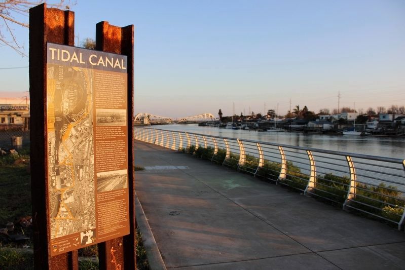
The Oakland and Alameda shorelines of the Tidal Canal developed with industrial and residential uses. The principal industrial plants on the Oakland shore are the 1921 grain elevators of the Western Milling Company (now ConAgra) near the Park Street Bridge, and the 1937 Owens-Illinois glass factory at Fruitvale Avenue. The houses and docks stretching along the Alameda shore between the Fruitvale Avenue and High Street bridges form part of a 1938 subdivision, and new condominiums now line the Oakland shore east of the Park Street Bridge.
For more information on the history of Oakland’s waterfront, visit the Oakland Library’s History Room and the Oakland Museum of California.
Erected 2010 by City of Oakland.
Topics. This historical marker is listed in these topic lists: Bridges & Viaducts • Waterways & Vessels. A significant historical year for this entry is 1873.
Location. 37° 46.089′ N, 122° 13.639′ W. Marker is in Oakland, California, in Alameda County. It is in Fruitvale. Marker is on Alameda Avenue north of Tidal Way, on the right when traveling south. The metal marker is mounted between two sections of vertical railroad track on the Bay Trail. Touch for map. Marker is in this post office area: Oakland CA 94601, United States of America. Touch for directions.
Other nearby markers. At least 8 other markers are within walking distance of this marker. Ky Eybright Boathouse (approx. 0.4 miles away); Lincoln Park, 1909 (approx. 0.7 miles away); Tonarigumi (approx. 0.7 miles away); Prehistoric Indian Mound (approx. 0.7 miles away); a different marker also named Tonarigumi (approx. ¾ mile away); a different marker also named Tonarigumi (approx. ¾ mile away); They Brought Alameda the News (approx. 0.8 miles away); a different marker also named Tonarigumi (approx. 0.8 miles away).
Also see . . . Alameda Museum Quarterly: How Alameda Became an Island (PDF) 16 pages.
"We’re an island because of the tidal canal—the name of the narrow stretch of water that extends from the vicinity of Park Street to the vicinity of High Street. This section of the harbor is actually a ditch laboriously cut through the neck of the Alameda peninsula and first filled with water in 1902. Consuming thirty years from conception to completion, the canal stretches more than a mile from the estuary to San Leandro Bay and is spanned by four bridges."(Submitted on March 21, 2023, by Joseph Alvarado of Livermore, California.)
Credits. This page was last revised on March 31, 2023. It was originally submitted on March 21, 2023, by Joseph Alvarado of Livermore, California. This page has been viewed 187 times since then and 58 times this year. Photos: 1, 2, 3. submitted on March 21, 2023, by Joseph Alvarado of Livermore, California. 4, 5. submitted on March 31, 2023, by Joseph Alvarado of Livermore, California.
