Graham in Young County, Texas — The American South (West South Central)
Brazos Indian Reservation School
Photographed by James Hulse, June 6, 2022
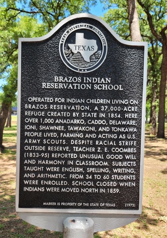
1. Brazos Indian Reservation School Marker
Operated for Indian children living on Brazos Reservation, a 37,000-acre refuge created by state in 1854. Here over 1,000 Anadarko, Caddo, Delaware, Ioni, Shawnee, Tawakoni, and Tonkawa people lived, farming and acting as U.S. Army scouts. Despite racial strife outside reserve, teacher Z.E. Coombes (1833-95) reported unusual good will and harmony in classroom. Subjects taught were English, spelling, writing, and arithmetic. From 34 to 60 students were enrolled. School closed when Indians were moved north in 1859.
Erected 1972 by State Historical Survey Committee. (Marker Number 493.)
Topics. This historical marker is listed in these topic lists: Education • Indigenous Peoples and Communities. A significant historical year for this entry is 1854.
Location. 33° 5.957′ N, 98° 35.353′ W. Marker is in Graham, Texas, in Young County. It is at the intersection of Cherry Street (State Highway 16) and South Street, on the left when traveling south on Cherry Street. The marker is located in the northwest corner of the Graham Library grounds. Touch for map. Marker is at or near this postal address: 910 Cherry St, Loving TX
this page online

Regionally, this marker is in Big Country. It is also on the American Great Plains. Globally, it is in North America, a Gulf of Mexico state, the Western Hemisphere, the Western World, and the Anglosphere. Historically, it finds itself in what was once New Spain, the Comanchería, the Republic of Texas, and one of the Confederate States of America.
Other nearby markers. At least 8 other markers are within walking distance of this marker: Brazos River Indian Reservation (a few steps from this marker); Shawnee Springs (approx. 0.2 miles away); Brazos Indian Reservation School (1858-1859) (approx. ¼ mile away); Morrison Funeral Home (approx. 0.4 miles away); First National Bank in Graham (approx. 0.4 miles away); Early Church of Graham (approx. 0.4 miles away); 1921 Young County Jail (approx. 0.4 miles away); Ryus Store Building (approx. 0.4 miles away). Touch for a list and map of all markers in Graham.
More about this marker. There is a duplicate of this marker on the other side of the Shawnee Springs Park.
Also see . . . Brazos Indian Reservation.
Photographed by James Hulse, June 6, 2022
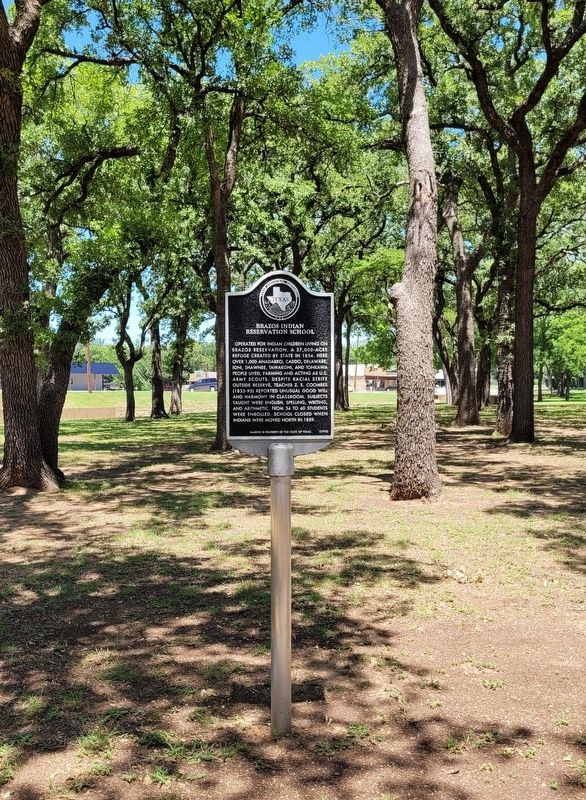
2. Brazos Indian Reservation School Marker
In the summer of 1854 Gen. Randolph B. Marcy, under orders of the United States Department of War and Interior and in accordance with an act of the Texas legislature of February 6, located two Indian reservations in West Texas. The Brazos Reservation originally comprised four leagues, or 18,576 acres, twelve miles south of Fort Belknap, where the Brazos River makes three big bends. The size was doubled when an adjacent tract of equal size, intended for the western Indians, was added to it. The main building was three miles east of the site of Graham, where a few scattered stones mark the remains of the agency. Source: The Handbook of Texas(Submitted on June 20, 2022, by James Hulse of Medina, Texas.)
Photographed by James Hulse, June 6, 2022
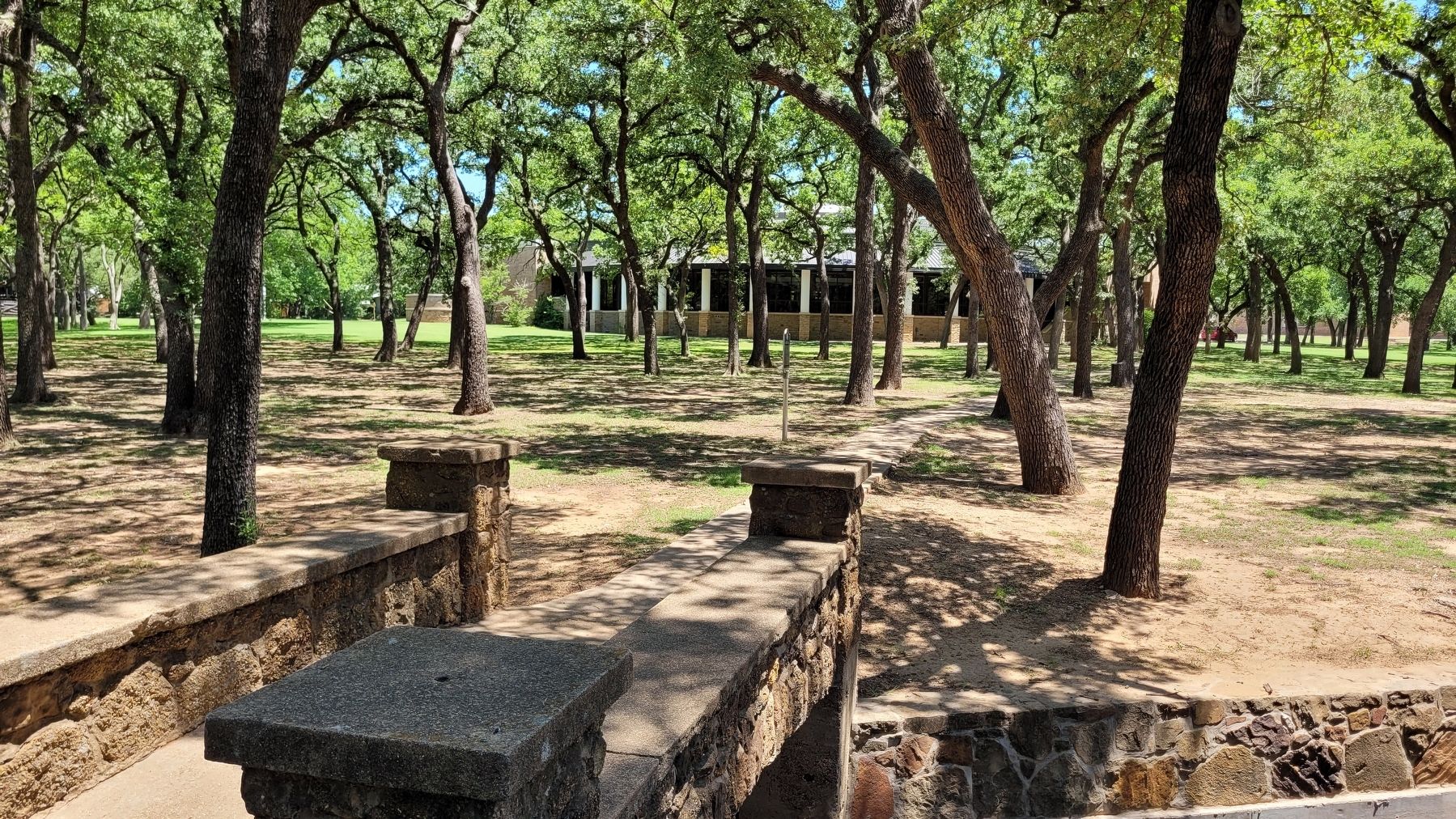
3. The view of the Brazos Indian Reservation School Marker with Library in background
Credits. This page was last revised on August 17, 2026. It was originally submitted on June 20, 2022, by James Hulse of Medina, Texas. This page has been viewed 1,148 times since then and 98 times this year. Last updated on August 15, 2026, by Joe Lotz of Flower Mound, Texas. Photos: 1, 2, 3. submitted on June 21, 2022, by James Hulse of Medina, Texas. • Devry Becker Jones was the editor who published this page.
