Kilgore in Gregg County, Texas — The American South (West South Central)
St. Luke's United Methodist Church
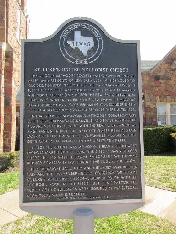
Photographed by Jeff Leichsenring, March 20, 2023
1. St. Luke's United Methodist Church Marker
In that year the neighboring Methodist congregations of Kilgore, Crossroads, Danville, and Pirtle formed the Kilgore Methodist Circuit, with the Rev. F. J. Browning as first pastor. In 1894 the Institute (later renamed Lon Morris College) moved to Jacksonville. Kilgore Methodists continued to meet in the Institute chapel.
In 1904 the chapel was moved one block southwest (across Martin Street from this site). It was replaced there in 1915 with a frame sanctuary which was burned by arson in 1931 during the Kilgore oil boom.
This fieldstone sanctuary and the annex were built in 1932, and the 109-member Kilgore congregation became St. Luke's Methodist Episcopal Church, South, with
this page online
Erected 1985 by Texas Historical Commission. (Marker Number 9995.)
Topics. This historical marker is listed in this topic list: Religion & Religious Structures.
Location. 32° 23.097′ N, 94° 52.421′ W. Marker is in Kilgore, Texas, in Gregg County. It is on East Main Street near North Martin Street, on the right when traveling west. Touch for map. Marker is at or near this postal address: 401 East Main Street, Kilgore TX 75662, United States of America. Touch for directions.

Regionally, this marker is in the American South, specifically in the Deep South, and in the Piney Woods. Globally, it is in North America, a Gulf of Mexico state, the Western Hemisphere, the Western World, and the Anglosphere. Historically, it finds itself in what was once New Spain, the Republic of Texas, one of the Confederate States of America, and the Antebellum South.
Other nearby markers. At least 8 other markers
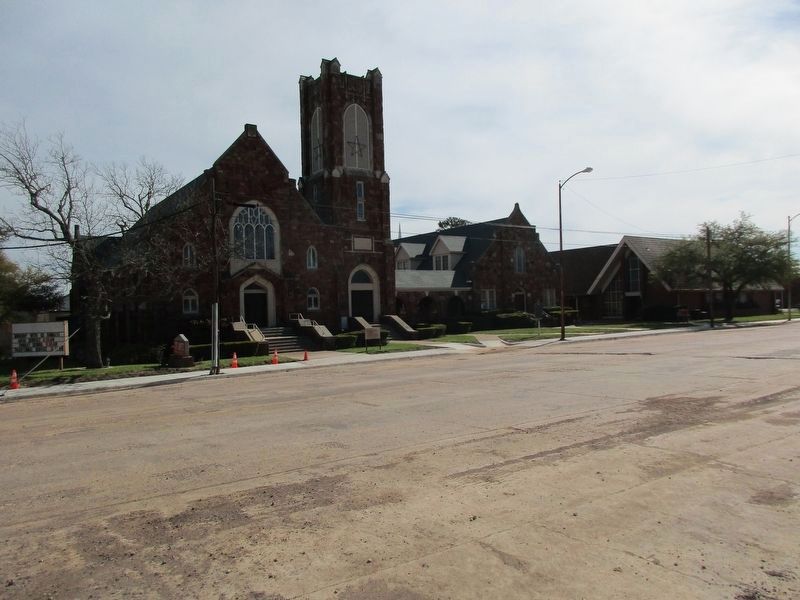
Photographed by Jeff Leichsenring, March 20, 2023
2. St. Luke's United Methodist Church and Marker
Credits. This page was last revised on May 4, 2024. It was originally submitted on March 23, 2023, by Jeff Leichsenring of Garland, Texas. This page has been viewed 445 times since then and 52 times this year. Photos: 1, 2. submitted on March 23, 2023, by Jeff Leichsenring of Garland, Texas. • James Hulse was the editor who published this page.
