Marshall in Harrison County, Texas — The American South (West South Central)
Marshall
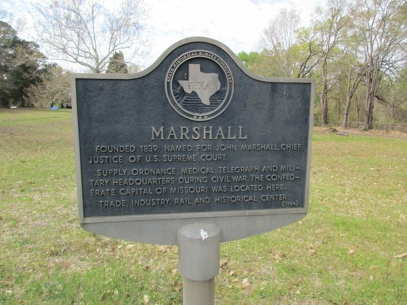
Photographed by Jeff Leichsenring, March 20, 2023
1. Marshall Marker
Erected 1964 by State Historical Survey Committee. (Marker Number 10189.)
Topics. This historical marker is listed in this topic list: Settlements & Settlers.
Location. 32° 34.28′ N, 94° 20.85′ W. Marker is in Marshall, Texas, in Harrison County. It is at the intersection of North East End Boulevard South (U.S. 59) and Loop 390 on North East End Boulevard South. US 59 N, just S of Loop 390. Touch for map. Marker is in this post office area: Marshall TX 75670, United States of America. Touch for directions.

Regionally, this marker is in the American South, specifically in the Deep South, and in the Piney Woods. Globally, it is in North America, a Gulf of Mexico state, the Western Hemisphere, the Western World, and the Anglosphere. Historically, it finds itself in what was once New Spain, the Republic
this page online
Other nearby markers. At least 8 other markers are within 2 miles of this marker, measured as the crow flies: Marshall Powder Mill (approx. 1.7 miles away); Confederate Memorial (approx. 1.8 miles away); Walter Paye Lane (approx. 1.8 miles away); Texas & Pacific Depot (approx. 1.8 miles away); Marshall, C.S.A. (approx. 1.8 miles away); a different marker also named Marshall (approx. 1.8 miles away); Ginocchio Hotel and Restaurant (approx. 1.8 miles away); Horace Randal (approx. 1.8 miles away). Touch for a list and map of all markers in Marshall.
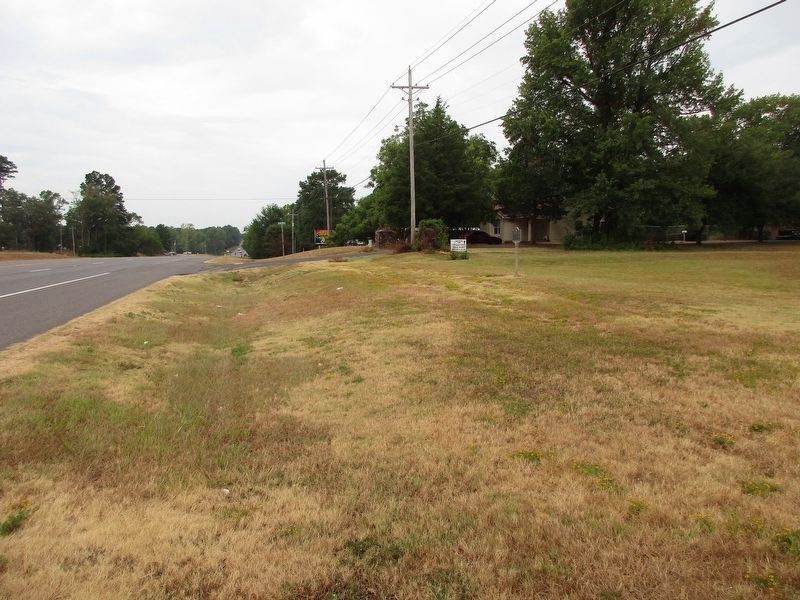
Photographed by Jeff Leichsenring, September 12, 2023
2. Marshall Marker
Credits. This page was last revised on September 13, 2023. It was originally submitted on March 23, 2023, by Jeff Leichsenring of Garland, Texas. This page has been viewed 1,016 times since then and 105 times this year. Photos: 1. submitted on March 23, 2023, by Jeff Leichsenring of Garland, Texas. 2. submitted on September 13, 2023, by Jeff Leichsenring of Garland, Texas. • James Hulse was the editor who published this page.
