Downtown in Flat Rock in Wayne County, Michigan — The American Midwest (Great Lakes)
“It Happened Here”
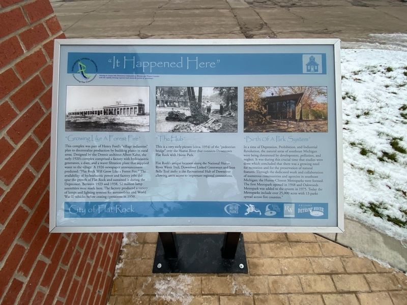
"Growing Like A Forest Fire"
This complex was part of Henry Ford's "village industries" plan to decentralize production by building plants in rural areas. Designed by the Detroit architect Albert Kahn, the early-1920's complex comprised a factory with hydroelectric generators, a dam, and a water filtration plant that supplied water to the village. A 1926 newspaper announcement predicted: "Flat Rock Will Grow Like a Forest Fire." The availability of hydroelectric power and factory jobs did spur the growth of Flat Rock and sustained it during the Depression. Between 1923 and 1938, 52 million lamp assemblies were made here. The factory produced a variety of lamps and lighting systems for automobiles and World War II vehicles before ceasing operations in 1950.
"The Hub"
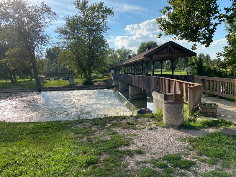
This is a very early picture (circa. 1954) of the "pedestrian bridge" over the Huron River that connects Downtown Flat Rock with Huroc Park.
Flat Rock's unique location along the National Huron River Water Trail, Downriver Linked Greenways and Iron Belle Trail make it the Recreational Hub of Downriver allowing users access to important regional connections.
"Birth Of A Park System"
In a time of Depression, Prohibition, and Industrial Revolution, the natural areas of southeast Michigan were being threatened by development, pollution, and neglect. It was during this crucial time that studies were done which concluded that there was a growing need for recreation and for the preservation of natural features. Through the dedicated work and collaboration of numerous communities and agencies in southeast Michigan; the Huron-Clinton Metroparks were formed. The first Metropark opened in 1948 and Oakwoods Metropark was added to the system in 1975. Today the Metroparks include over 25,000 acres with 13 parks spread across five counties."
Erected by Downriver Linked Greenways.
Topics. This historical marker is listed in these topic lists: Industry & Commerce • Parks & Recreational Areas • Settlements & Settlers. A significant historical year for this entry is 1926.
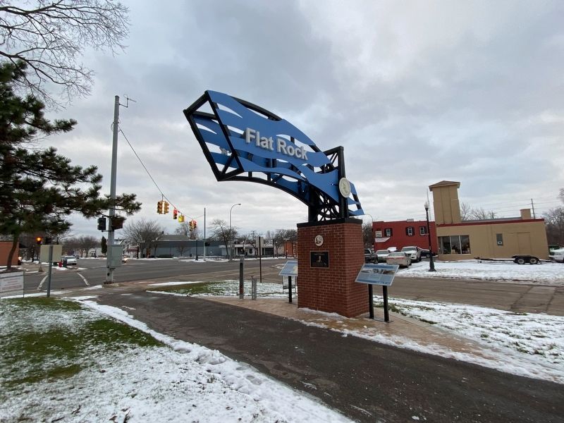
Location. 42° 5.793′ N, 83° 17.635′ W. Marker is in Flat Rock, Michigan, in Wayne County. It is in Downtown. Marker is at the intersection of Huron Street and Telegraph Road (U.S. 24), on the left when traveling east on Huron Street. Touch for map. Marker is at or near this postal address: 28744 Telegraph Road, Flat Rock MI 48134, United States of America. Touch for directions.
Other nearby markers. At least 8 other markers are within 4 miles of this marker, measured as the crow flies. The Wyandot (about 300 feet away, measured in a direct line); Ford Motor Company Lamp Factory (approx. ¼ mile away); Flat Rock Veterans Memorial (approx. 0.6 miles away); Cornelius G. Munger General Store (approx. ¾ mile away); Oak Ridge Cemetery RAF Memorial (approx. 2.8 miles away); State Police Post (approx. 3 miles away); Historic State Police Post (approx. 3.1 miles away); Michigan Memorial Veterans Dedication (approx. 3.2 miles away). Touch for a list and map of all markers in Flat Rock.
Also see . . . Flat Rock, Michigan. Excerpt:
Flat Rock began as a Wyandot settlement. It was later designated as a reservation for the Wyandot, and still functioned as such in 1830. The first European-American settlers in Flat Rock were Michael Vreeland and his five grown sons between 1811 and 1820. Michael had been captured by British Rangers during the Revolutionary War and released after American independence.(Submitted on March 24, 2023, by J.T. Lambrou of New Boston, Michigan.)
Credits. This page was last revised on March 24, 2023. It was originally submitted on March 24, 2023, by J.T. Lambrou of New Boston, Michigan. This page has been viewed 123 times since then and 50 times this year. Photos: 1, 2, 3. submitted on March 24, 2023, by J.T. Lambrou of New Boston, Michigan. • J. Makali Bruton was the editor who published this page.


