Gulfport in Harrison County, Mississippi — The American South (East South Central)
Gulfport Army Airfield
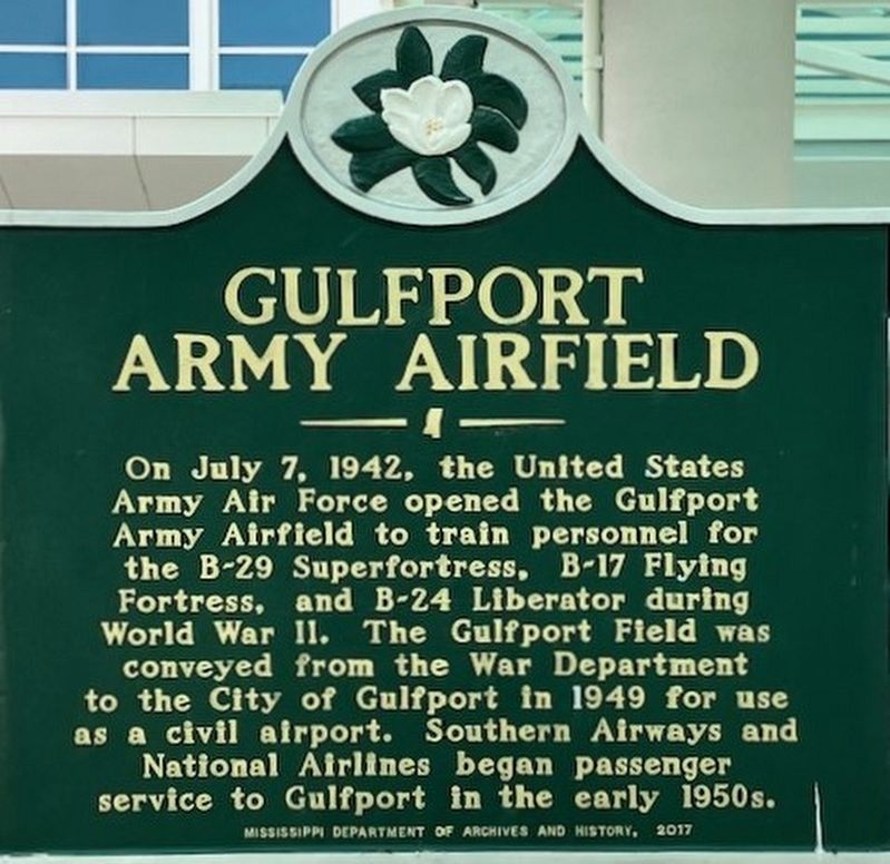
Photographed by Jason Irick, March 24, 2023
1. Gulfport Army Airfield Marker
Erected 2017 by Mississippi Department of Archives and History.
Topics. This memorial is listed in these topic lists: Air & Space • War, World II. A significant historical date for this entry is July 7, 1942.
Location. 30° 24.788′ N, 89° 4.334′ W. Memorial is in Gulfport, Mississippi, in Harrison County. It is at the intersection of Airport Road and Customs Blvd, on the right when traveling east on Airport Road. Marker is at Gulfport-Biloxi International Airport Terminal. Touch for map. Memorial is at or near this postal address: 14035 Airport Rd, Gulfport MS 39503, United States of America. Touch for directions.

Regionally, this memorial is in the American South, specifically in the Deep South, and on the Gulf Coast.
this page online
Other nearby markers. At least 8 other markers are within 3 miles of this marker, measured as the crow flies: Turkey Creek Community (approx. 0.8 miles away); Gulfport Boogie (approx. 1½ miles away); Mississippi City Cemetery (approx. 2 miles away); Broadcasting the Blues (approx. 2.6 miles away); Grass Lawn (approx. 2.7 miles away); Centennial Plaza (approx. 2.7 miles away); Handsboro (approx. 2.7 miles away); Riley Chapel UMC (approx. 2.7 miles away). Touch for a list and map of all markers in Gulfport.
Another marker is no longer nearby. Turkey Creek Community (was approx. 1.1 miles away but has been replaced with another marker now near it).
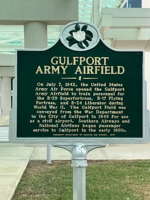
Photographed by Jason Irick, March 24, 2023
2. Gulfport Army Airfield Marker

Photographed by Jason Irick, March 24, 2023
3. Gulfport Army Airfield Marker
Credits. This page was last revised on February 29, 2024. It was originally submitted on March 25, 2023, by Rev. Ronald Irick of West Liberty, Ohio. This page has been viewed 669 times since then and 88 times this year. Photos: 1, 2, 3. submitted on March 25, 2023, by Rev. Ronald Irick of West Liberty, Ohio. • James Hulse was the editor who published this page.
