San Jose in Santa Clara County, California — The American West (Pacific Coastal)
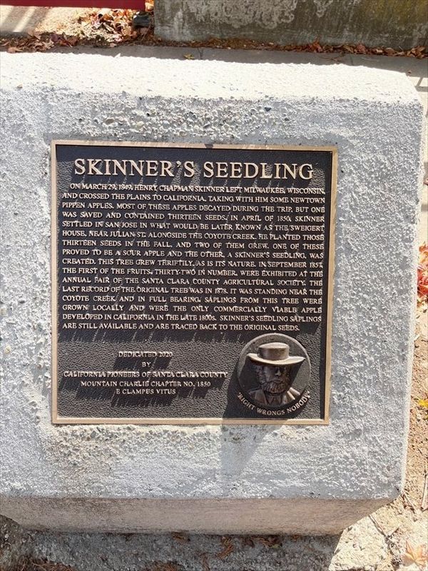
Skinner's Seedling
On March 29, 1849. Henry Chapman Skinner left Milwaukee, Wisconsin and crossed the plains to California, taking with him some Newtown Pippen Apples. Most of these apples decayed during the trip, but one was saved and contained thirteen seeds. In April of 1850, Skinner settled in San Jose in what would be later known as the Sweigert House, near Julian St. Alongside the Coyote Creek. He planted those thirteen seeds in the fall, and two of them grew. One of these proved to be a sour apple and the other, a skinner's seedling, was created. This tree grew thriftily, as is its nature. In September 1857 the first of the fruits, thirty-two in number, were exhibited at the annual fair of The Santa Clara County Agricultural Society. The last record of the original tree was in 1878. It was standing near the Coyote Creek and in full bearing. Saplings from this tree were grown locally and were the only commercially viable apple developed in California in the late 1800s. Skinner's Seedling Saplings are still available and are traced back to the original seeds.
Dedicated, 2020 by California Pioneers of Santa Clara County
Mountain Charlie Chapter No. 1850 E Clampus Vitus
"Right wrongs nobody"
Erected 2020 by Mountain Charlie Chapter 1850 E Clampus Vitus.
Topics and series. This historical marker is listed in this topic list: Agriculture. In addition, it is included in the E Clampus Vitus series list. A significant historical date for this entry is March 29, 1849.
Location. 37° 20.917′ N, 121° 52.471′ W. Marker is in San Jose, California, in Santa Clara County. Marker is on Roosevelt Street, on the right when traveling east. Touch for map. Marker is at or near this postal address: 924 Roosevelt Street, San Jose CA 95112, United States of America. Touch for directions.
Other nearby markers. At least 8 other markers are within one mile of this marker, measured as the crow flies. San Jose High School (approx. 0.2 miles away); Slettedahl House (approx. 0.6 miles away); San Jose Woman's Club (approx. 0.7 miles away); Amamiyla Midwife House (approx. one mile away); Asahi Baseball (approx. one mile away); Sumo Ring Site (approx. one mile away); Japantown Theater (approx. one mile away); Tower Bell (approx. one mile away). Touch for a list and map of all markers in San Jose.
Credits. This page was last revised on April 3, 2023. It was originally submitted on March 26, 2023, by Frank Gunshow Sanchez of Hollister, California. This page has been viewed 84 times since then and 21 times this year. Photo 1. submitted on March 26, 2023. • J. Makali Bruton was the editor who published this page.
Editor’s want-list for this marker. A wide view photo of the marker and the surrounding area together in context. • Can you help?
