Forest Park in St. Louis, Missouri — The American Midwest (Upper Plains)
The Muny
Forest Park
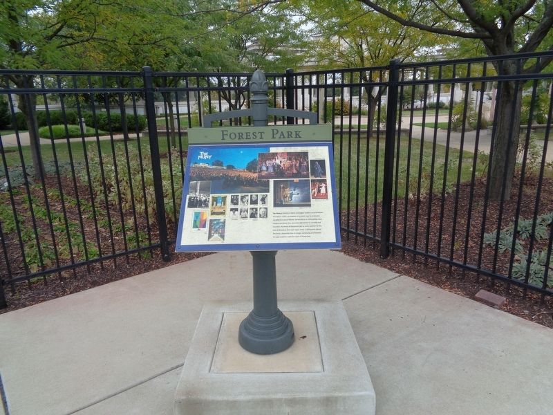
The Muny is America's oldest and largest outdoor musical theatre. Founded in 1919, our mission is to enrich lives by producing exceptional musical theatre, accessible to all. Generations have enjoyed everything from operettas and ballets to concerts and musicals. Hundreds of thousands join us every summer for the best of Broadway. And each night, nearly 1,500 guests attend The Muny—absolutely free of charge—continuing a remarkable St. Louis tradition under the stars in Forest Park.
Topics. This historical marker is listed in these topic lists: Arts, Letters, Music • Entertainment • Parks & Recreational Areas. A significant historical year for this entry is 1919.
Location. 38° 38.351′ N, 90° 16.766′ W. Marker is in St. Louis, Missouri. It is in Forest Park. Marker is on Summit Drive south of Union Drive, on the right when traveling south. Touch for map. Marker is at or near this postal address: 5595 Summit Dr, Saint Louis MO 63112, United States of America. Touch for directions.
Other nearby markers. At least 8 other markers are within walking distance of this marker. A different marker also named The Muny (approx. 0.2 miles away); Liberal Arts Bridge (approx. 0.2 miles away); The Original Music Pagoda (approx. ¼ mile away); The Boathouse & Post-Dispatch Lake (approx. 0.3 miles away); General Franz Sigel (approx. 0.3 miles away); The Jewel Box (approx. 0.4 miles away); Welcome to Forest Park (approx. 0.4 miles away); How Do We Divide Our Land? (approx. 0.4 miles away). Touch for a list and map of all markers in St. Louis.
Credits. This page was last revised on March 28, 2023. It was originally submitted on March 28, 2023, by Jason Voigt of Glen Carbon, Illinois. This page has been viewed 78 times since then and 11 times this year. Photo 1. submitted on October 17, 2019, by Jason Voigt of Glen Carbon, Illinois. • Devry Becker Jones was the editor who published this page.
Editor’s want-list for this marker. A close-up, legible photo of the marker. • Can you help?
