Jerusalem, Israel — West Asia (the Levant in the Middle East)
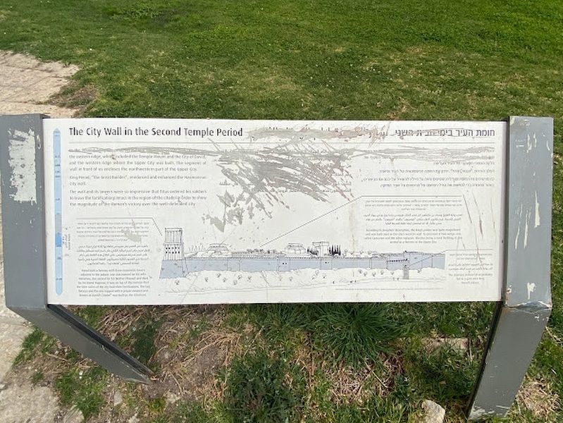
The City Wall in the Second Temple Period
Inscription.
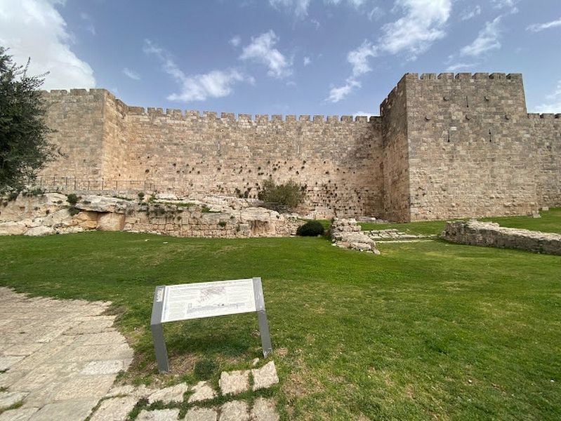
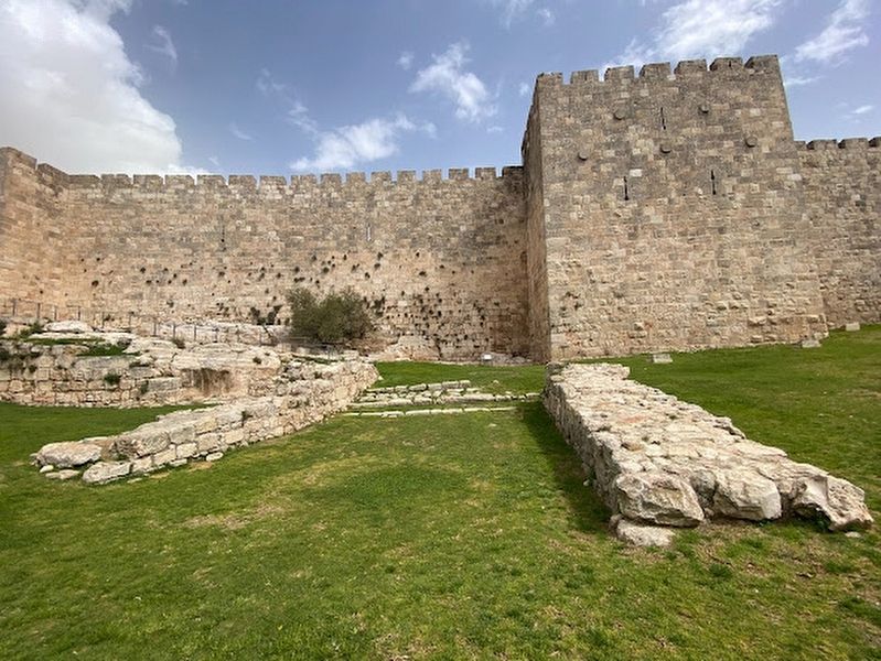
In the Second Temple Period, [illegible] the eastern ridge, which included the Temple Mount and the City of David, and the western ridge where the Upper City was built. The segment of wall in front of us encloses the northwestern part of the Upper City.
King Herod, "the Great Builder", reinforced and enhanced the Hasmonean city wall.
The wall and its towers were so impressive that Titus ordered his soldiers to leave the fortifications intact in the region of the citadel in order to show the magnitude of the Roman's victory over the well-defended city.
Illustration captions:
Herod built a fortress with three enormous towers adjacent to the palace: one was named for his wife Miriamne, the second for his brother Phasael and third for his friend Hippicus. It was on top of this fortress that the later rulers of the city built their fortifications. The last fortress and the one topped with a prayer minaret and known as "David's Citadel" was built by the Ottomans.
According to Josephus' description, the king's palace was quite magnificent and was built next to the city's western wall. It consisted of two wings, one called Caesarion and the other Agripion. Besides being a royal building, it also served as a fortress in the Upper City.
The staircase in front of us probably led to a gate near King Herod's palace.
(Hebrew not transcribed)
Topics. This historical marker is listed in these topic lists: Architecture • Forts and Castles.
Location. 31° 46.42′ N, 35° 13.645′ E. Marker is in Jerusalem, Israel. Marker is on Hativat Etsyoni Street, on the right when traveling north. Touch for map. Marker is at or near this postal address: Hativat Etsyoni Street 1, Jerusalem, Israel, Israel. Touch for directions.
Other nearby markers. At least 8 other markers are within walking distance of this marker. The "Hidden" Gate (within shouting distance of this marker); Suleiman the Magnificent Wall (within shouting distance of this marker); A "Guard Tower" (the Middle Ages) (within shouting distance of this marker); Etched in Stone - The Wall Builders (about 90 meters away, measured in a direct line); Periods of the City on a Section of Wall (about 90 meters away); Tomb Complex (about 120 meters away); Zion Gate (about 240 meters away in Jerusalem District); The Kishle (approx. 0.2 kilometers away). Touch for a list and map of all markers in Jerusalem.
Credits. This page was last revised on April 2, 2023. It was originally submitted on March 28, 2023, by Darren Jefferson Clay of Duluth, Georgia. This page has been viewed 55 times since then and 9 times this year. Photos: 1, 2, 3. submitted on March 28, 2023, by Darren Jefferson Clay of Duluth, Georgia. • Andrew Ruppenstein was the editor who published this page.


