Marker Logo HMdb.org THE HISTORICAL
MARKER DATABASE
“Bite-Size Bits of Local, National, and Global History”
Jerusalem, Jerusalem District, Israel — The Middle East (West Asia)
 

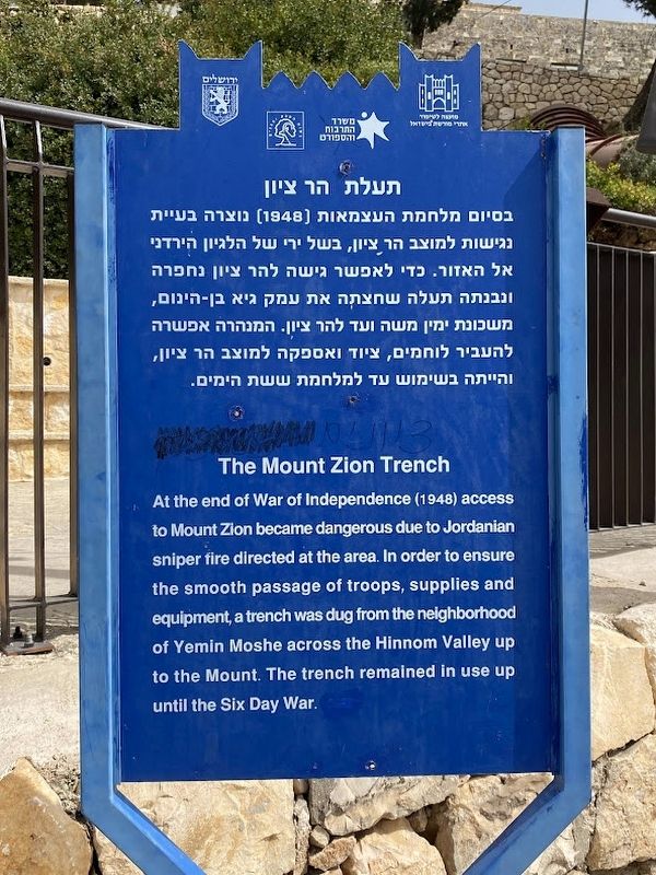
The Mount Zion Trench

תעלה הר ציון


The Mount Zion Trench Marker image. Click for full size.
Photographed By Darren Jefferson Clay, March 13, 2023
1. The Mount Zion Trench Marker
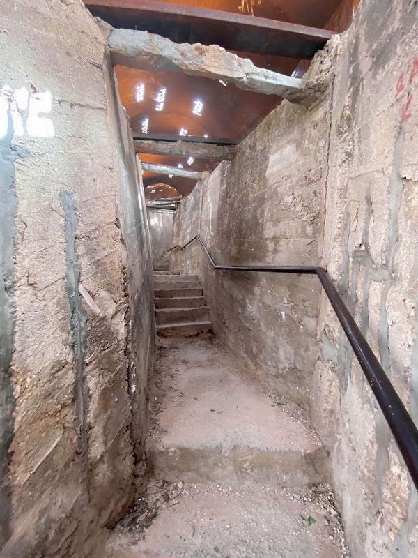
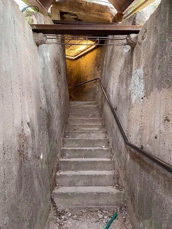
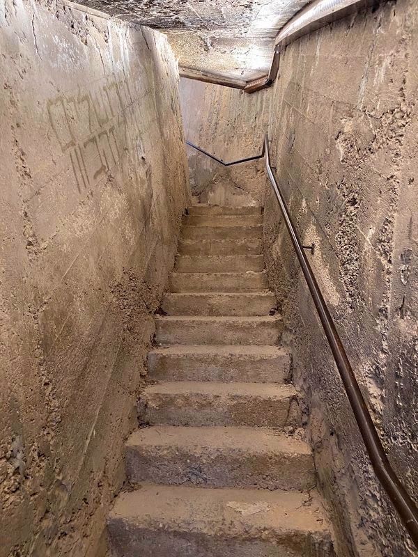
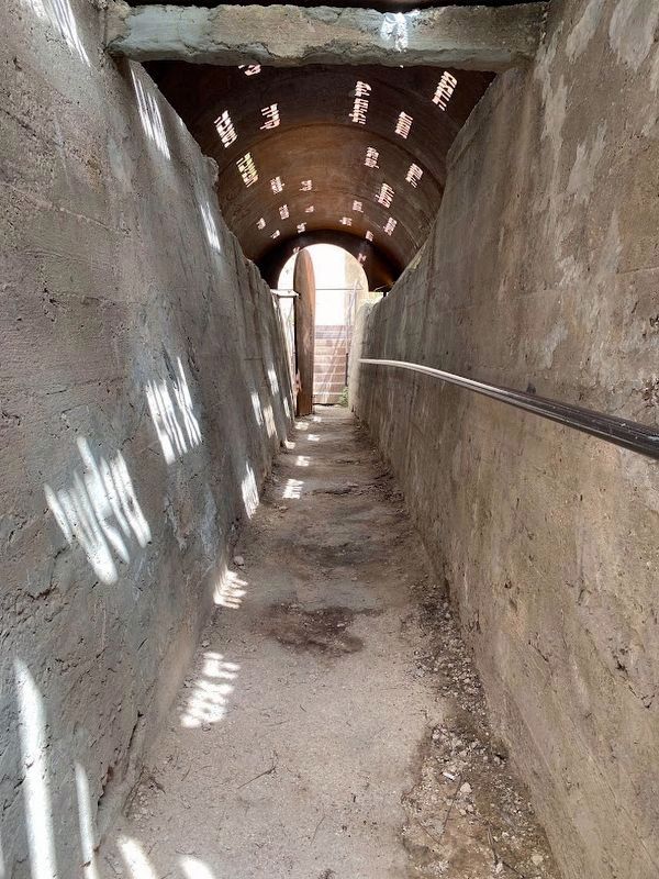
Inscription. At the end of War of Independence (1948) access to Mount Zion became dangerous due to Jordanian sniper fire directed at the area. In order to ensure the smooth passage of troops, supplies and equipment, a trench was dug from the neighborhood of Yemin Moshe across the Hinnom Valley up to the Mount. The trench remained in use up until the Six Day War.

(Hebrew text not transcribed)
 
Topics. This historical marker is listed in these topic lists: Forts and CastlesWars, Non-US.
 
Location. 31° 46.278′ N, 35° 13.609′ E. Marker is in Jerusalem, Jerusalem District. Marker is on Hativat Yerushalayim Street, on the right when traveling north. Touch for map. Marker is at or near this postal address: Hativat Yerushalayim St 1, Jerusalem, Jerusalem District, Israel. Touch for directions.
 
Other nearby markers. At least 8 other markers are within walking distance of this marker. A "Guard Tower" (the Middle Ages) (about 210 meters away, measured in a direct line in Israel); Room of the Last Supper (approx. 0.2 kilometers away in Israel); King David's Tomb (approx. 0.2 kilometers away in Israel); a different marker also named King David's Tomb (approx. 0.2 kilometers away in Israel); Mishkenot Sheananim (approx. 0.3 kilometers away); Tombs from the First Temple Period (approx.
Paid Advertisement
Click on the ad for more information.
Please report objectionable advertising to the Editor.
Click or scan to see
this page online
0.3 kilometers away); The "Hidden" Gate (approx. 0.3 kilometers away in Israel); The City Wall in the Second Temple Period (approx. 0.3 kilometers away in Israel). Touch for a list and map of all markers in Jerusalem.
 
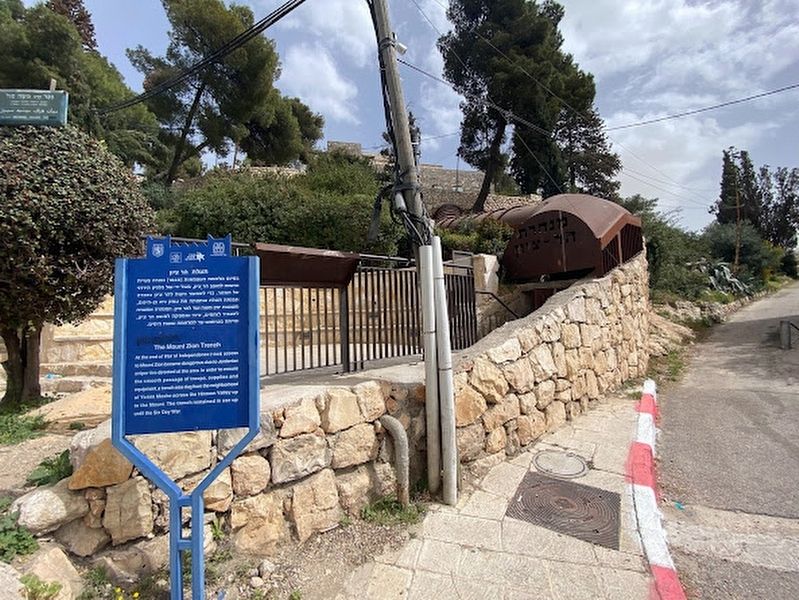
The Mount Zion Trench Marker image. Click for full size.
Photographed By Darren Jefferson Clay, March 13, 2023
2. The Mount Zion Trench Marker
The bottom of the Mount Zion Trench image. Click for full size.
Photographed By Darren Jefferson Clay, March 13, 2023
3. The bottom of the Mount Zion Trench
The middle of the Mount Zion Trench image. Click for full size.
Photographed By Darren Jefferson Clay, March 13, 2023
4. The middle of the Mount Zion Trench
Another photo of the middle section of the Mount Zion Trench image. Click for full size.
Photographed By Darren Jefferson Clay, March 13, 2023
5. Another photo of the middle section of the Mount Zion Trench
The top of the Mount Zion Trench image. Click for full size.
Photographed By Darren Jefferson Clay, March 13, 2023
6. The top of the Mount Zion Trench
 
 
Credits. This page was last revised on April 1, 2023. It was originally submitted on March 28, 2023, by Darren Jefferson Clay of Duluth, Georgia. This page has been viewed 126 times since then and 38 times this year. Photos:   1, 2, 3, 4, 5, 6. submitted on March 28, 2023, by Darren Jefferson Clay of Duluth, Georgia. • Andrew Ruppenstein was the editor who published this page.
Share this page.  
Share on Tumblr
m=219055

CeraNet Cloud Computing sponsors the Historical Marker Database.
This website earns income from purchases you make after using our links to Amazon.com. We appreciate your support.
Paid Advertisement
Apr. 29, 2024