Castolon in Big Bend National Park in Brewster County, Texas — The American South (West South Central)
Cotton Boom in Castolon
Big Bend National Park
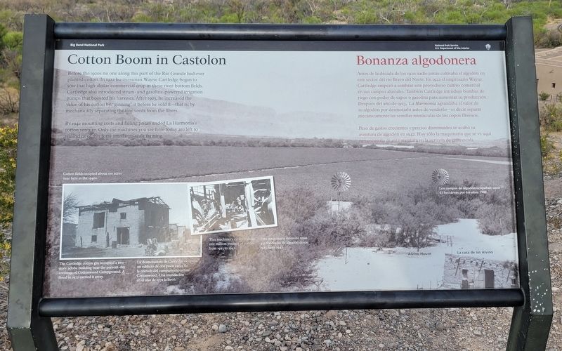
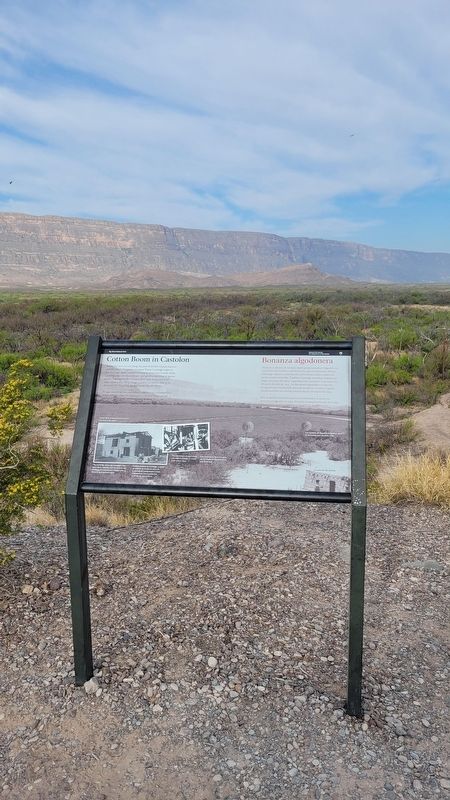
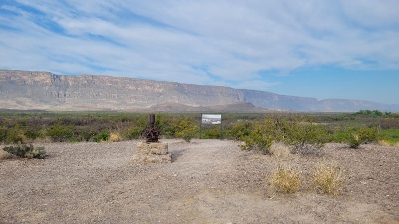
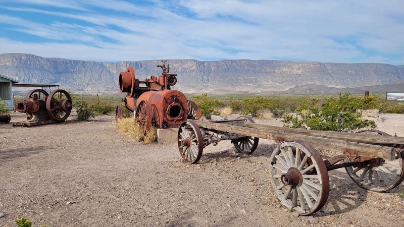
By 1942 mounting costs and falling prices ended La Harmonía's cotton venture. Only the machines you see here today are left to remind us of this foray into large-scale farming.
Captions
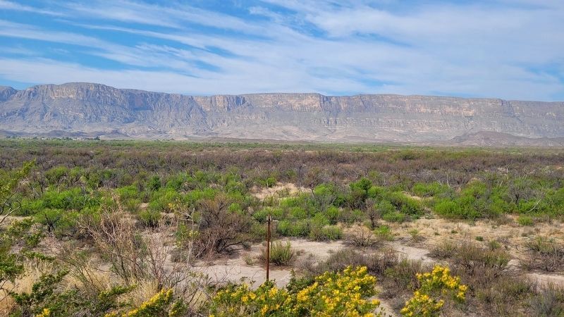
Cotton fields ocupied about 100 acres near here in the 1940s.
The Cartledge cotton gin occupied a two- story adobe building near the present-day entrance of Cottonwood Campground. A flood in 1972 carried it away.
This machinery cleaned about one million pounds of cotton from 1923 to 1942.
Spanish:
Antes de la década de los 1920 nadie jamás cultivaba el algodón en este sector del río Bravo del Norte. En 1922 el empresario Wayne Cartledge empezó a sembrar este provechoso cultivo comercial en sus campos aluviales. También Cartledge introdujo bombas de riego con poder de vapor o gasolina para aumentar su producción. Después del año de 1923, La Harmonía agrandaba el valor de su algodón por desmotarlo antes de venderlo - es decir separar mecánicamente las semillas minúsculas de los copos fibrosos.
Peso de gastos crecientes y precios disminuidos se acabó su aventura de algodón en 1942. Hoy sólo la maquinaria que se ve aquí nos recuerda de esta aventura en la agrícola de gran escala.
Subtítulos
Los campos de algodón ocupaban unos 41 hectáreas por los años 1940.
La desmotadora de Cartledge ocupaba un edificio de dos pisos cerca de la entrada del campamento actual Cottonwood. Una inundación en el año de 1972 la llevó.
Esta maquinaria desmotó unos 455 toneladas de algodón desde 1923 hasta 1942.
Erected by National Park Service - U.S. Department of the Interior.
Topics. This historical marker is listed in these topic lists: Agriculture • Industry & Commerce. A significant historical year for this entry is 1922.
Location. 29° 8.024′ N, 103° 30.888′ W. Marker is in Big Bend National Park, Texas, in Brewster County. It is in Castolon.
Marker is at the intersection of River Road West and Santa Elena Canyon Road on River Road West. The marker is located on the grounds of the Castolon Ranger Station and Visitors Center. Touch for map. Marker is in this post office area: Big Bend National Park TX 79834, United States of America. Touch for directions.
Other nearby markers. At least 8 other markers are within 7 miles of this marker, measured as the crow flies. Magdalena's House (within shouting distance of this marker); Garlick House (within shouting distance of this marker); Cavalry Post to Trading Post (within shouting distance of this marker); Floodplain Panorama (within shouting distance of this marker); La Harmonia Store (approx. 0.7 miles away); Grand Canyon Farms (approx. 4.2 miles away); Luna's Jacal (approx. 5.8 miles away); Into the Canyon! (approx. 6.2 miles away). Touch for a list and map of all markers in Big Bend National Park.
More about this marker. The marker is located on the grounds of the Big Bend National Park which requires an entrance fee to access.
Also see . . . History of the Castolon Area. National Park Service
In the early 1900s, people began to live and farm along the banks of the Rio Grande, downstream from Santa Elena Canyon. The fields were fertile and the community grew. Farmers in the area raised corn, beans, wheat, squash, tomatoes, and melons. In 1901, Cipriano Hernandez started the first store in the area and sold goods to his neighbors and to the mining community in Terlingua. He operated the store out of his home, which is today known as the Alvino House (named for Alvino Ybarra who lived there with his family from 1918 to 1957).(Submitted on March 29, 2023, by James Hulse of Medina, Texas.)
Credits. This page was last revised on March 29, 2023. It was originally submitted on March 28, 2023, by James Hulse of Medina, Texas. This page has been viewed 95 times since then and 24 times this year. Photos: 1, 2, 3, 4, 5. submitted on March 29, 2023, by James Hulse of Medina, Texas.
