Hunt Valley in Cockeysville in Baltimore County, Maryland — The American Northeast (Mid-Atlantic)
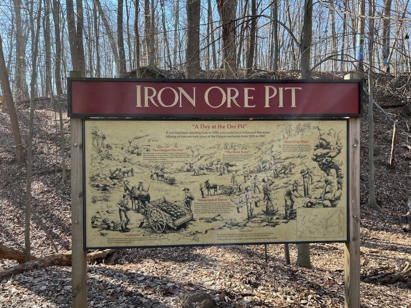
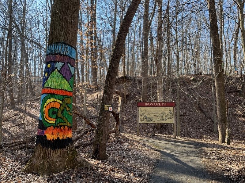
Iron Ore Pit
"A Day at the Ore Pit"
"The Oregon Ore Pits"
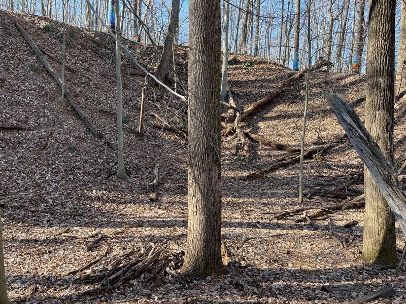
The depression in front of you was one of three primary pits providing ore to the furnace. The largest pit, now filled with water (48 ft.), is known as Oregon Lake and is a public swimming facility in summer.
See the adjacent map for previous and current Oregon facilities.
"Teamsters"
Teamsters were key players in the mine operation. They drove the mule teams needed to pull the ore laden tip carts from the ore pit to the ore washing mill.
"Emancipated Slaves"
Historical records indicate that the Price family, prominent landowners in this area, emancipated a number of former slaves, providing them with mules, wagons and land. Records indicate that black teamsters using their own mules and wagons were under contract to the Oregon Mining Company.
"Iron Ore"
The iron ore sought here at Oregon was found in the ground in the form of rusty-colored, rounded chucks of rock known as goethite (ger-thite).
On the ground next to this display is a goethite nodule from the Oregon ore pits.
"Hard Dirty Work"
Working with picks, shovels and pry bars, men dug through the soil to find the iron ore nodules. Sledge hammers were used to break up large nodules.
Topics. This historical marker is listed in these topic lists: African Americans • Industry & Commerce • Parks & Recreational Areas • Settlements & Settlers. A significant historical year for this entry is 1850.
Location. 39° 29.658′ N, 76° 41.588′ W. Marker is in Cockeysville, Maryland, in Baltimore County. It is in Hunt Valley. Marker is on Shawan Road. Touch for map. Marker is at or near this postal address: 1415 Shawan Rd, Cockeysville MD 21030, United States of America. Touch for directions.
Other nearby markers. At least 8 other markers are within walking distance of this marker. Timber 1750 (within shouting distance of this marker); Marble Quarry (about 300 feet away, measured in a direct line); Peter Goff Tenant House (about 500 feet away); a different marker also named Iron Ore Pit (about 500 feet away); Soot and Sweat (approx. ¼ mile away); Furnace Operations - Management (approx. ¼ mile away); A Blast from the Past (approx. ¼ mile away); Furnace Operations - Labor (approx. ¼ mile away). Touch for a list and map of all markers in Cockeysville.
Credits. This page was last revised on March 30, 2023. It was originally submitted on March 29, 2023, by Adam Margolis of Mission Viejo, California. This page has been viewed 81 times since then and 24 times this year. Photos: 1, 2, 3. submitted on March 29, 2023, by Adam Margolis of Mission Viejo, California. • Bill Pfingsten was the editor who published this page.


