Ithaca in Tompkins County, New York — The American Northeast (Mid-Atlantic)
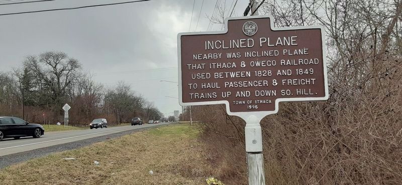
Inclined Plane

Photographed by Mira Earls, March 28, 2023
1. Inclined Plane Marker
Erected 1996 by Town of Ithaca.
Topics. This historical marker is listed in this topic list: Railroads & Streetcars. A significant historical year for this entry is 1828.
Location. 42° 25.738′ N, 76° 29.879′ W. Marker is in Ithaca, New York, in Tompkins County. It is on Danby Road (New York State Route 96b), on the right when traveling south. Touch for map. Marker is at or near this postal address: 827 Danby Rd, Ithaca NY 14850, United States of America. Touch for directions.

Regionally, this marker is in Upstate New York and in the Southern Tier. It is also in the American Northeast and in the Mid-Atlantic. Globally, it is in North America, the Western Hemisphere, the Western World, and the Anglosphere. Historically, it finds itself in what was once the Haudenosaunee (Iroquois) Confederacy, New Netherland, and one of the original Thirteen Colonies.
Other nearby markers. At least 8 other markers are within walking distance of this marker: Ithaca College (approx. half a mile away); St. James AME Zion (approx. 0.7 miles away); St. James AME Zion Church (approx. 0.7 miles away); 26th Regiment (approx. 0.7 miles away); St. James African Methodist Episcopal Zion Church (approx. 0.7 miles away); 310 West State Street (approx. ¾ mile away); Ezra Cornell (approx. 0.8 miles away); Jupiter (approx. 0.8 miles away). Touch for a list and map of all markers in Ithaca.
this page online

Photographed by Mira Earls, March 28, 2023
2. Inclined Plane Marker looking north on NY 96B
Photographed by Mira Earls, March 28, 2023
3. Inclined Plane Marker looking south on NY 96B
Photographed by Mira Earls, March 28, 2023
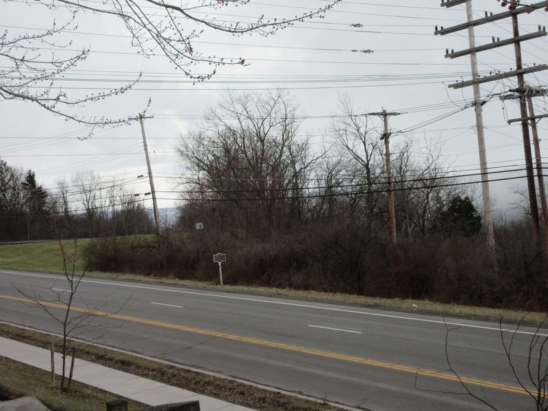
4. Inclined Plane Marker from across NY 96B
Credits. This page was last revised on April 3, 2023. It was originally submitted on March 29, 2023, by Mira Earls of Cortland, New York. This page has been viewed 692 times since then and 93 times this year. Photos: 1, 2, 3, 4. submitted on March 29, 2023, by Mira Earls of Cortland, New York. • J. Makali Bruton was the editor who published this page.
