Hunt Valley in Cockeysville in Baltimore County, Maryland — The American Northeast (Mid-Atlantic)
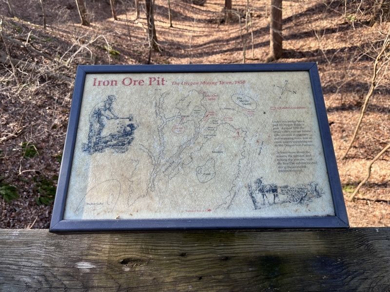
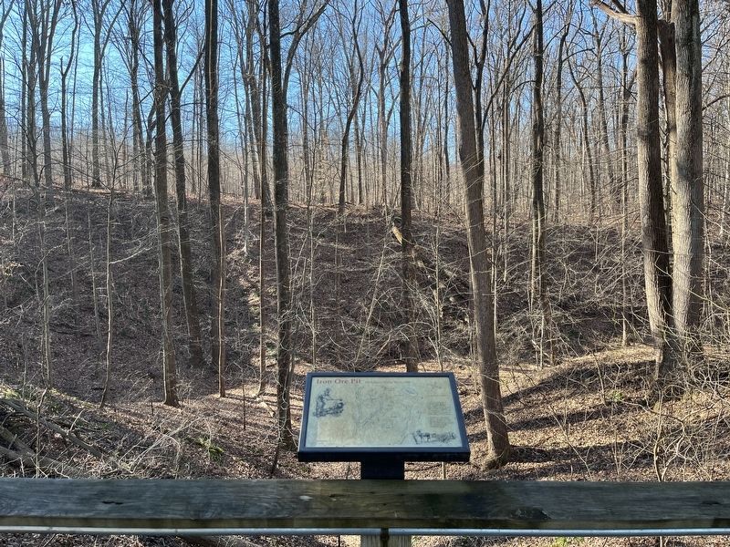
Iron Ore Pit
The Oregon Mining Town, 1850
To learn more about the miners, the furnace, and mining the iron ore, visit the Iron Ore exhibit located along the accessible interpretive trail.
Topics. This historical marker is listed in these topic lists: Environment • Industry & Commerce • Settlements & Settlers. A significant historical year for this entry is 1850.
Location. 39° 29.609′ N, 76° 41.513′ W. Marker is in Cockeysville, Maryland, in Baltimore County. It is in Hunt Valley. Marker can be reached from Kurtz Lane. Touch for map. Marker is at or near this postal address: 13593 Kurtz Ln, Cockeysville MD 21030, United States of America. Touch for directions.
Other nearby markers. At least 8 other markers are within walking distance of this marker. Peter Goff Tenant House (within shouting distance of this marker); Timber 1750 (about 300 feet away, measured in a direct line); a different marker also named Iron Ore Pit (about 500 feet away); Marble Quarry (about 600 feet away); Soot and Sweat (approx. 0.2 miles away); A Blast from the Past (approx. 0.2 miles away); Furnace Operations - Labor (approx. 0.2 miles away); Furnace Operations - Management (approx. 0.2 miles away). Touch for a list and map of all markers in Cockeysville.
Credits. This page was last revised on April 3, 2023. It was originally submitted on March 30, 2023, by Adam Margolis of Mission Viejo, California. This page has been viewed 65 times since then and 14 times this year. Photos: 1, 2. submitted on March 30, 2023, by Adam Margolis of Mission Viejo, California. • Bill Pfingsten was the editor who published this page.

