
Greensboro in Guilford County, North Carolina — The American South (South Atlantic)
British Attack
Photographed By Bill Coughlin, August 1, 2010
1. British Attack Marker
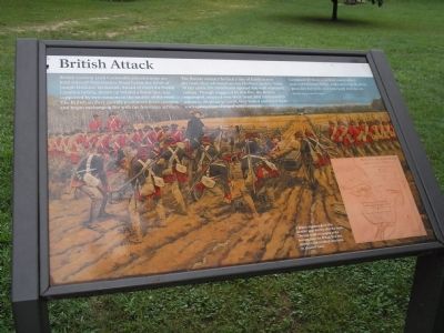
British General Lord Cornwallis placed troops on both sides of New Garden Road below the fields of Joseph Hoskins’ farmstead. Ahead of them the North Carolina militia, drawn up behind a fence line, was supported by two cannons in the middle of the road. The British artillery quickly positioned three cannons and began exchanging fire with the American artillery.
The British infantry formed a line of battle across the road, then advanced across Hoskins’ muddy fields. At 150 yards, the Americans opened fire with scattered volleys. Though staggered by this fire, the British regrouped, stepped over their dead, and continued to advance. At about 50 yards, they halted and fired their own volley, then charged with bayonets.
Lieutenant O’Hara, a spirited young officer, was unfortunately killed, whilst directing the three-pounders before the line was ready to move on.
Banastre Tarleton, British Dragoons
Erected by Tannenbaum Historic Park.
Topics. This historical marker is listed in this topic list: War, US Revolutionary. A significant historical date for this entry is March 15, 1781.
Location. 36° 7.795′ N, 79° 51.131′ W. Marker is in Greensboro, North Carolina, in Guilford County. Marker can be reached from the intersection of New
this page online
Other nearby markers. At least 8 other markers are within walking distance of this marker. Tannenbaum Park (a few steps from this marker); Hoskins Farmstead (a few steps from this marker); Tannenbaum Historic Park (within shouting distance of this marker); Guilford Courthouse (about 400 feet away, measured in a direct line); Joseph G. Cannon (about 600 feet away); Crown Forces at the Battle of Guilford Courthouse (approx. 0.2 miles away); Capt. James Tate (approx. 0.2 miles away); Col. Arthur Forbis (approx. ¼ mile away). Touch for a list and map of all markers in Greensboro.
More about this marker. The background of the marker features a picture of the British line positioning their three-pounder cannon before their charge. The lower right of the marker contains a map of the Battle of Guilford. It has a caption of “A British engineer drew this detailed map shortly after the battle. The two small rectangles at the bottom, near the British first line, represent unidentified structures on Hoskins’ land.”
Also see . . .
1. The Battle of Guilford Courthouse. American Revolution War website entry (Submitted on August 23, 2010, by Bill Coughlin of Woodland Park, New Jersey.)
Photographed By Bill Coughlin, March 15, 2015
2. British Attack Marker
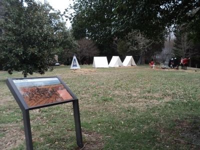
A British encampment can be seen behind the marker.
2. The Battle of Guilford Courthouse 1781. An account of the Battle of Guilford Courthouse from a British perspective from BritishBattles.com. (Submitted on August 25, 2010, by Bill Coughlin of Woodland Park, New Jersey.)
Photographed By Bill Coughlin, August 1, 2010
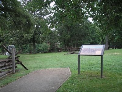
3. Marker in Tannenbaum Historic Park
Photographed By Bill Coughlin, August 1, 2010
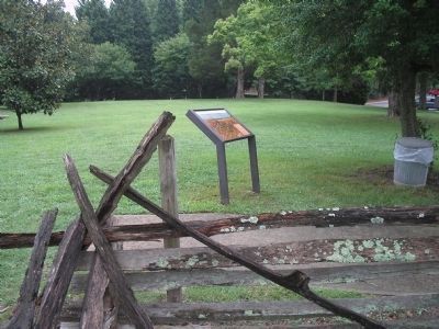
4. British Attack Marker
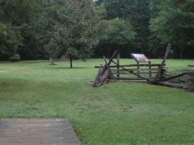
Joseph Hoskins farmstead served as the staging ground for General Charles Cornwallis' British troops prior to the Battle of Guilford Courthouse.
Photographed By Bill Coughlin, August 1, 2010
5. Greensboro Marker
Tannenbaum Historic Park preserves a portion of Joseph Hoskins farm. At the time of the battle, the farmstead totaled 150-acres.
Credits. This page was last revised on April 1, 2023. It was originally submitted on August 23, 2010, by Bill Coughlin of Woodland Park, New Jersey. This page has been viewed 852 times since then and 20 times this year. Last updated on April 1, 2023, by Michael Buckner of Durham, North Carolina. Photos: 1. submitted on August 23, 2010, by Bill Coughlin of Woodland Park, New Jersey. 2. submitted on March 17, 2015, by Bill Coughlin of Woodland Park, New Jersey. 3, 4, 5. submitted on August 23, 2010, by Bill Coughlin of Woodland Park, New Jersey. • Bernard Fisher was the editor who published this page.

