Deanville in Burleson County, Texas — The American South (West South Central)
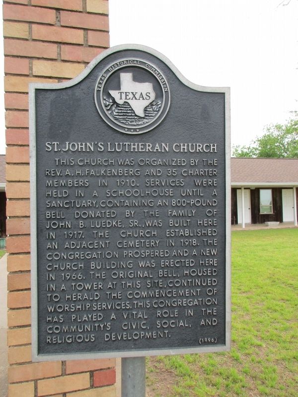
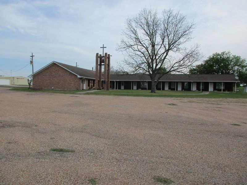
St. John's Lutheran Church
Erected 1994 by Texas Historical Commission. (Marker Number 8651.)
Topics. This historical marker is listed in this topic list: Churches & Religion.
Location. 30° 25.938′ N, 96° 45.17′ W. Marker is in Deanville, Texas, in Burleson County. Marker is at the intersection of Farm to Market Road 60 and Farm to Market Road 111, on the right when traveling north on Road 60. Intersection of FM 111 and FM 60, Deanville. Touch for map. Marker is in this post office area: Caldwell TX 77836, United States of America. Touch for directions.
Other nearby markers. At least 8 other markers are within 7 miles of this marker, measured as the crow flies. Deanville (within shouting distance of this marker); Kings Highway Camino Real — Old San Antonio Road (approx. 2.7 miles away); Chisholm Cattle Trail (approx. 2.8 miles away); a different marker also named Kings Highway Camino Real — Old San Antonio Road (approx. 2.9 miles away); Site of El Camino Real (approx. 3.6 miles away); a different marker also named Kings Highway Camino Real — Old San Antonio Road (approx. 4.3 miles away); Frenstat Cemetery (approx. 6.4 miles away); Our Lady of the Holy Rosary Catholic Church (approx. 6.4 miles away). Touch for a list and map of all markers in Deanville.
Credits. This page was last revised on April 1, 2023. It was originally submitted on April 1, 2023, by Jeff Leichsenring of Garland, Texas. This page has been viewed 58 times since then and 15 times this year. Photos: 1, 2. submitted on April 1, 2023, by Jeff Leichsenring of Garland, Texas. • James Hulse was the editor who published this page.

