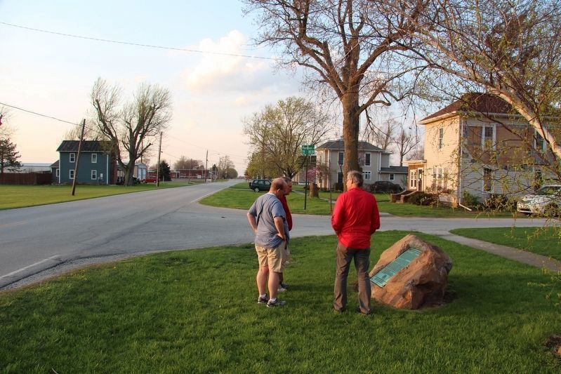
Old Fort in Seneca County, Ohio — The American Midwest (Great Lakes)
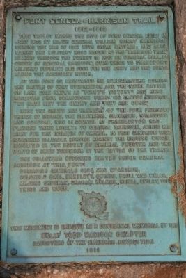
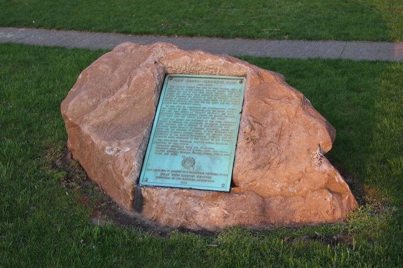
Fort Seneca - Harrison Trail
1812 - 1813
At this fort he maintained his headquarters during the battle of Fort Stephenson and the naval battle on Lake Erie known as "Perry's Victory" and here received from Commodore Perry his famous message, "We have met the enemy and they are ours."
Here the chiefs and warriors of the four friendly tribes of Indians, the Delawares, Shawnees, Wyandots, and Senecas, who in council at Franklinton had pledged their loyalty to General Harrison, joined his army for the invasion of Canada. In that campaign they rendered valuable service against the British which resulted in the defeat of General Procter and the death of Chief Tecumseh at the Battle of the Thames.
The following officers served under General Harrison at the fort:
Brigadier Generals Cass and McArthur;
Colonels Ball, Bartlett, Owings, Paull and Wells;
Majors Croghan, Graham, Holmes, Hukill, Smiley, Todd, Trigg, and Wood.
Erected 1913 by as a Centennial Memorial by the Dolly Todd Madison Chapter Daughters of the American Revolution.
Topics and series. This historical marker is listed in these topic lists: Forts and Castles • Native Americans • War of 1812. In addition, it is included in the Battlefield Trails - War of 1812, the Daughters of the American Revolution, and the Former U.S. Presidents: #09 William Henry Harrison series lists. A significant historical month for this entry is July 1813.
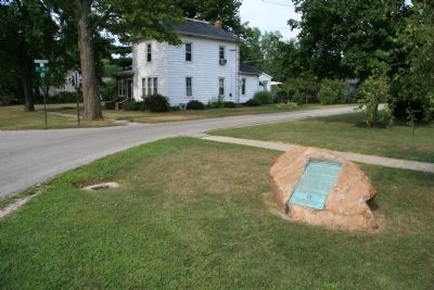
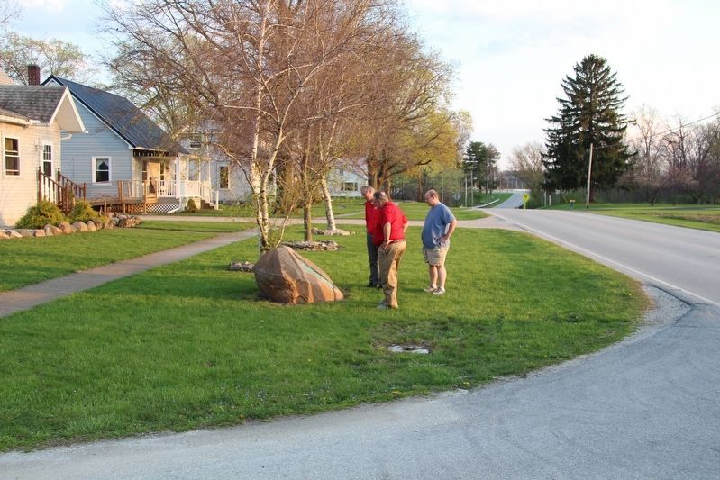
Location. 41° 14.28′ N, 83° 8.975′ W. Marker is in Old Fort, Ohio, in Seneca County. Marker is at the intersection of County Road 51 and Harrison Street, on the right when traveling north on County Road 51. Touch for map. Marker is in this post office area: Old Fort OH 44861, United States of America. Touch for directions.
Other nearby markers. At least 8 other markers are within 3 miles of this marker, measured as the crow flies. Old Fort Centennial Park (approx. 0.2 miles away); P.M. Gilmor Old Fort Bridge (approx. 0.2 miles away); Old Fort High School World War II Memorial (approx. ¼ mile away); Pleasant Township Civil War Memorial (approx. 0.9 miles away); Native American Habitation (approx. 2 miles away); Fort Seneca (approx. 2.2 miles away); to Brady's Island / to Battle Island (approx. 2.2 miles away); Mull Covered Bridge / Covered Bridges (approx. 2.4 miles away). Touch for a list and map of all markers in Old Fort.
Regarding Fort Seneca - Harrison Trail.
As part of his preparations to recapture Detroit and invade Canada, General William Henry Harrison built a chain of forts northward, along both the Sandusky River Valley and the Sandusky-Scioto Trail, from what is now Upper Sandusky, Ohio (Fort Ferree), to what is now Tiffin, Ohio (Fort Ball), to what is now Old Fort, Ohio (Fort Seneca), all the way to what is now Fremont, Ohio (Fort Stephenson). These forts were intended to protect the American lines of supply and communication as General Harrison attempted to both position and build up his forces while he was seeking the opportunity for an invasion of British controlled Canada.
Related markers. Click here for a list of markers that are related to this marker. To better understand the relationship, study each marker in the order shown.
Credits. This page was last revised on June 6, 2017. It was originally submitted on April 16, 2009, by Dale K. Benington of Toledo, Ohio. This page has been viewed 2,899 times since then and 96 times this year. Last updated on August 26, 2009, by Dale K. Benington of Toledo, Ohio. Photos: 1. submitted on April 16, 2009, by Dale K. Benington of Toledo, Ohio. 2. submitted on June 6, 2017, by Dale K. Benington of Toledo, Ohio. 3. submitted on April 16, 2009, by Dale K. Benington of Toledo, Ohio. 4, 5. submitted on June 6, 2017, by Dale K. Benington of Toledo, Ohio. • Kevin W. was the editor who published this page.
