Peabody–Darst–Webbe in St. Louis, Missouri — The American Midwest (Upper Plains)
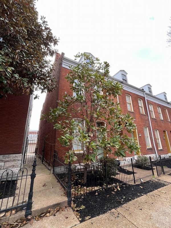
Dolman Row
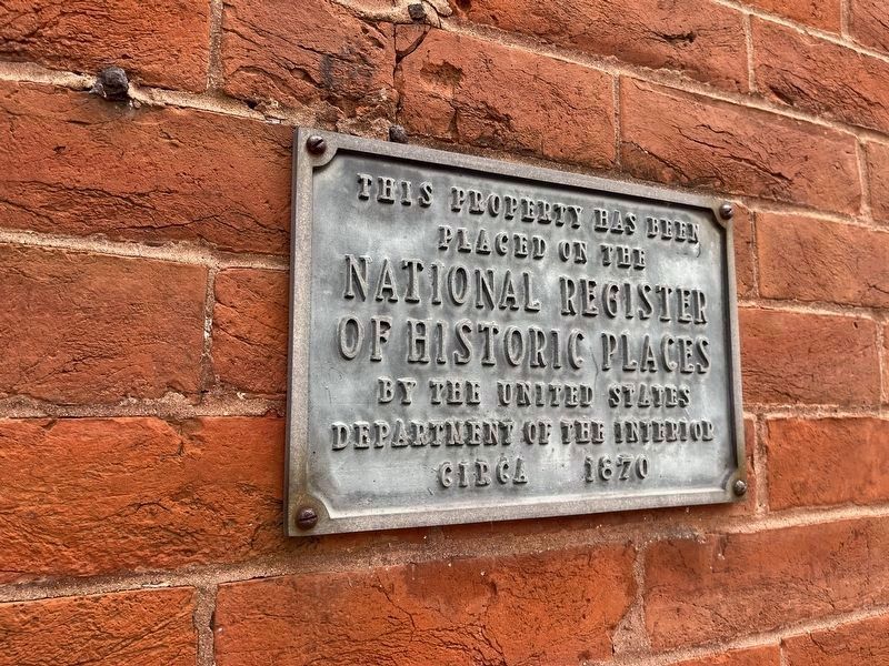
placed on the
National Register
of Historic Places
by the United States
Department of the Interior
Circa 1870
Topics. This historical marker is listed in this topic list: Architecture. A significant historical year for this entry is 1870.
Location. 38° 36.946′ N, 90° 12.605′ W. Marker is in St. Louis, Missouri. It is in Peabody–Darst–Webbe. It is on Dolman Street south of Park Avenue, on the right when traveling north. Touch for map. Marker is at or near this postal address: 1424 Dolman St, Saint Louis MO 63104, United States of America. Touch for directions.

Regionally, this marker is in the American Midwest, in the Lewis & Clark Corridor, in the Corn Belt, and in the Great River Road Region. Globally, it is in North America, the Western Hemisphere, the Western World, and the Anglosphere. Historically, it finds itself in what was once the territory of the Mississippian Culture, the Louisiana Purchase, and the Antebellum South.
Other nearby markers. At least 8 other markers are within walking distance of this marker: Lafayette Square (about 600 feet away, measured in a direct line);
this page online
Credits. This page was last revised on April 2, 2023. It was originally submitted on April 2, 2023, by Devry Becker Jones of Washington, District of Columbia. This page has been viewed 184 times since then and 20 times this year. Photos: 1, 2. submitted on April 2, 2023, by Devry Becker Jones of Washington, District of Columbia.
